
WEST ROLLING HILLS
Campground · Fee not listed
Fast facts
- Cost
- Not listed. Check locally.
- Type
- Campground
- Phone
- 785-784-4447
- Coordinates
- 39.0750, -96.9233
- Last verified
- September 19, 2026
About this place
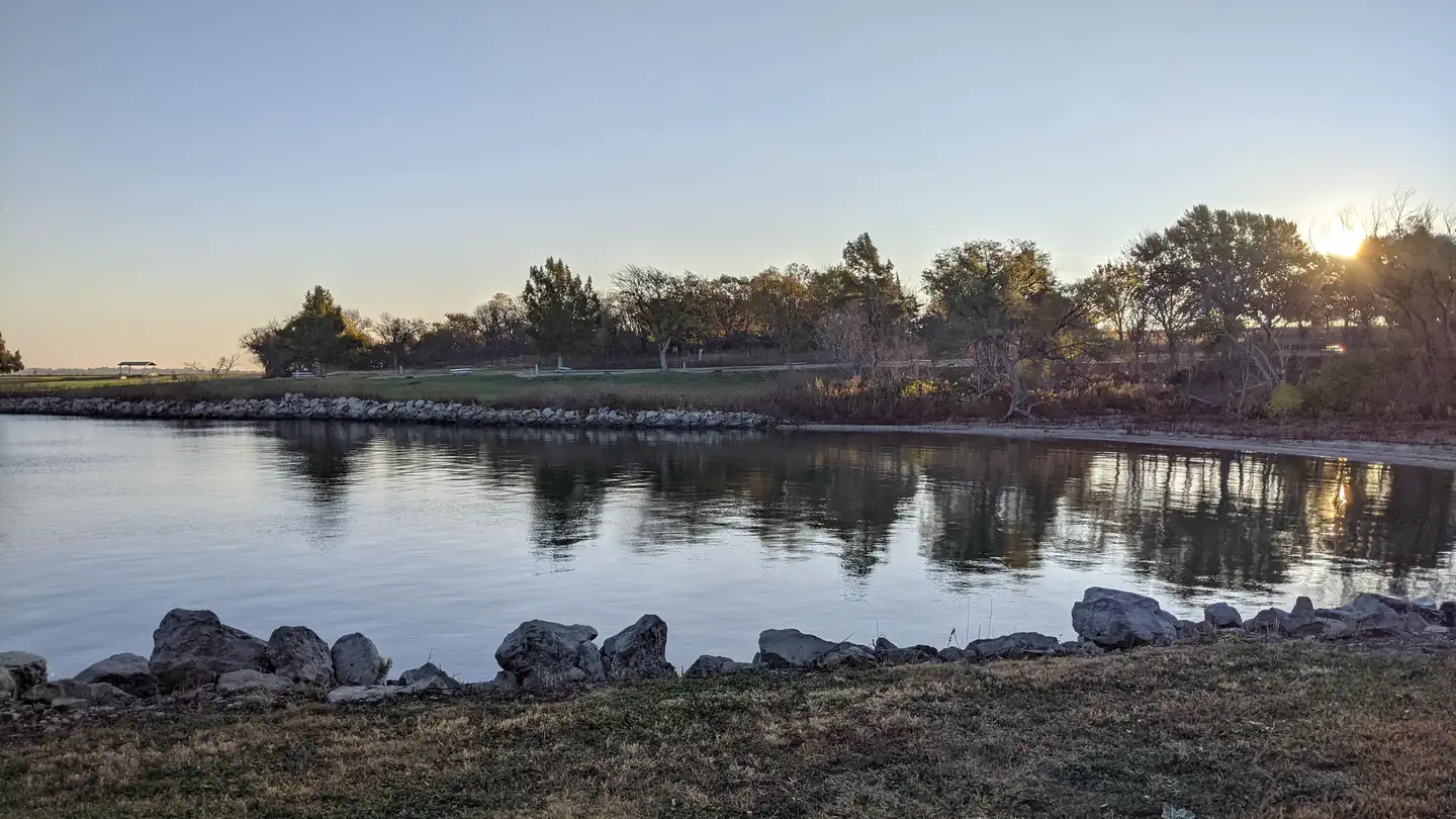
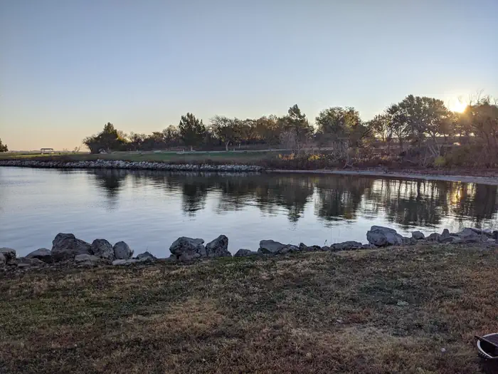
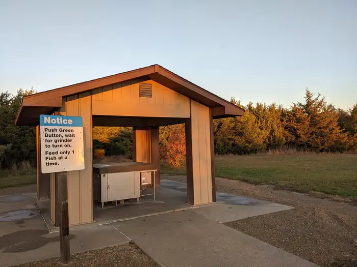
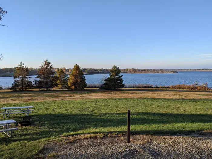
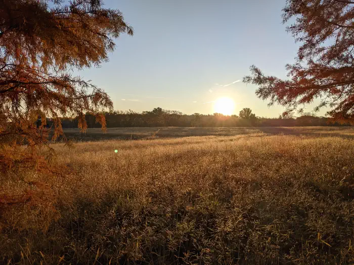
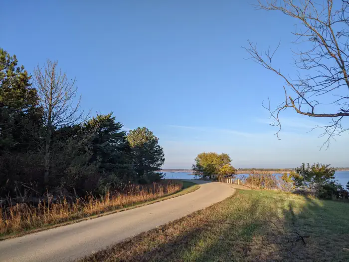
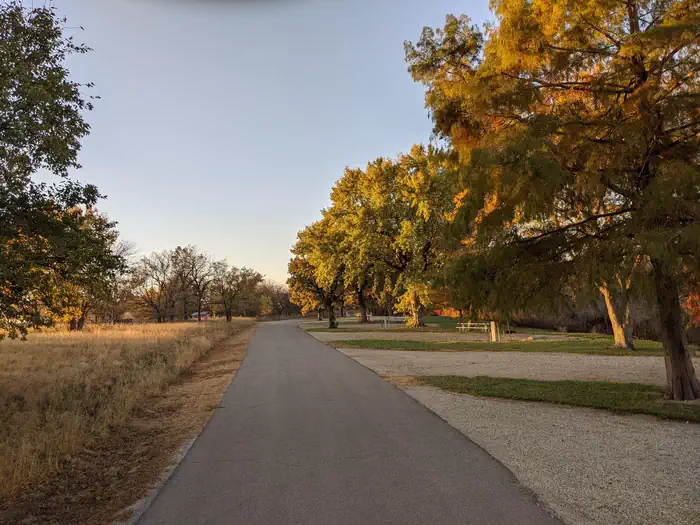
Overview West Rolling Hills is a comfortable campground with a site layout that maximizes views of the sparkling Milford Lake. An expanse of 33,000 acres surrounding the lake is public, protected land that's home to an array of wildlife. It's also an ideal setting for outdoor recreation like hiking, swimming, hunting and driving off-road vehicles. Click here for the Milford Lake Virtual Tour. Recreation Activities include boating, swimming, fishing, hunting, hiking, wildlife viewing and biking. Nearly 70% of the land resources are available for public hunting. Facilities This class A campground has modern conveniences like showers and flush toilets. Most of these sites have electric and water hookups, as well. The Thunderbird Marina is an easy starting point for a day on the lake, while an on-site playground provides fun for families. Natural Features Milford Lake is fed by the Republican River and stands as the largest man-made lake in Kansas, with a surface area of 15,700 acres and 163 miles of shoreline. Nearby Attractions The Milford Nature Center and Fish Hatchery is nearby, below the dam and a golf course is adjacent to the nature center.
From the managing agency.
Is WEST ROLLING HILLS free?
We do not have a fee on record for WEST ROLLING HILLS. Confirm the cost locally before you go.
How do I get to WEST ROLLING HILLS?
WEST ROLLING HILLS is at 39.0750, -96.9233. We do not hold written directions for this one, so navigate to the coordinates.
Nearby
- OUTLET PARK (KS)1.4 mi
- EAST ROLLING HILLS PARK (KS)1.4 mi
- NORTH OVERLOOK PARK (KS)2.0 mi
- CURTIS CREEK2.1 mi
- FARNUM CREEK5.6 mi
- TUTTLE CREEK COVE21.0 mi
- Outlet Park (Tuttle Creek Lake)21.2 mi
- STOCKDALE21.5 mi
No other services within 50 mi on the record.
SourceSource data is agency published. Last synced September 19, 2026. Community reports and photos are submitted by travelers and are not verified by the agency.
