
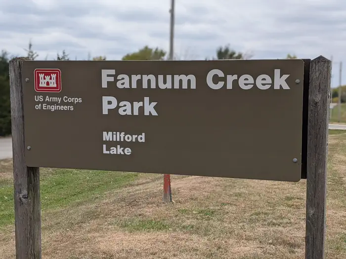
FARNUM CREEK
Campground · Fee not listed
Fast facts
- Cost
- Not listed. Check locally.
- Type
- Campground
- Phone
- 785-463-5791
- Coordinates
- 39.1534, -96.8967
- Last verified
- September 19, 2026
About this place
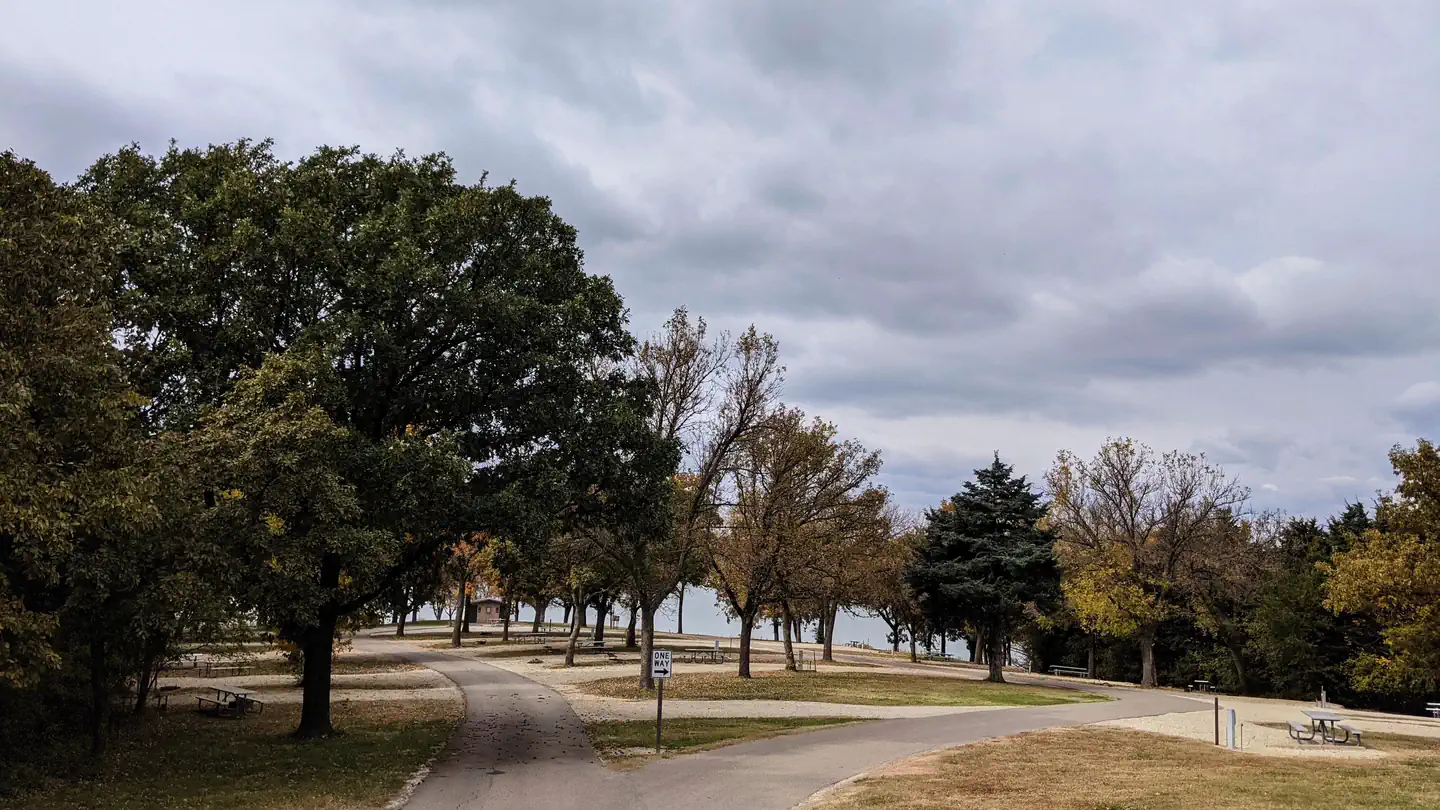
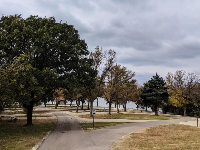
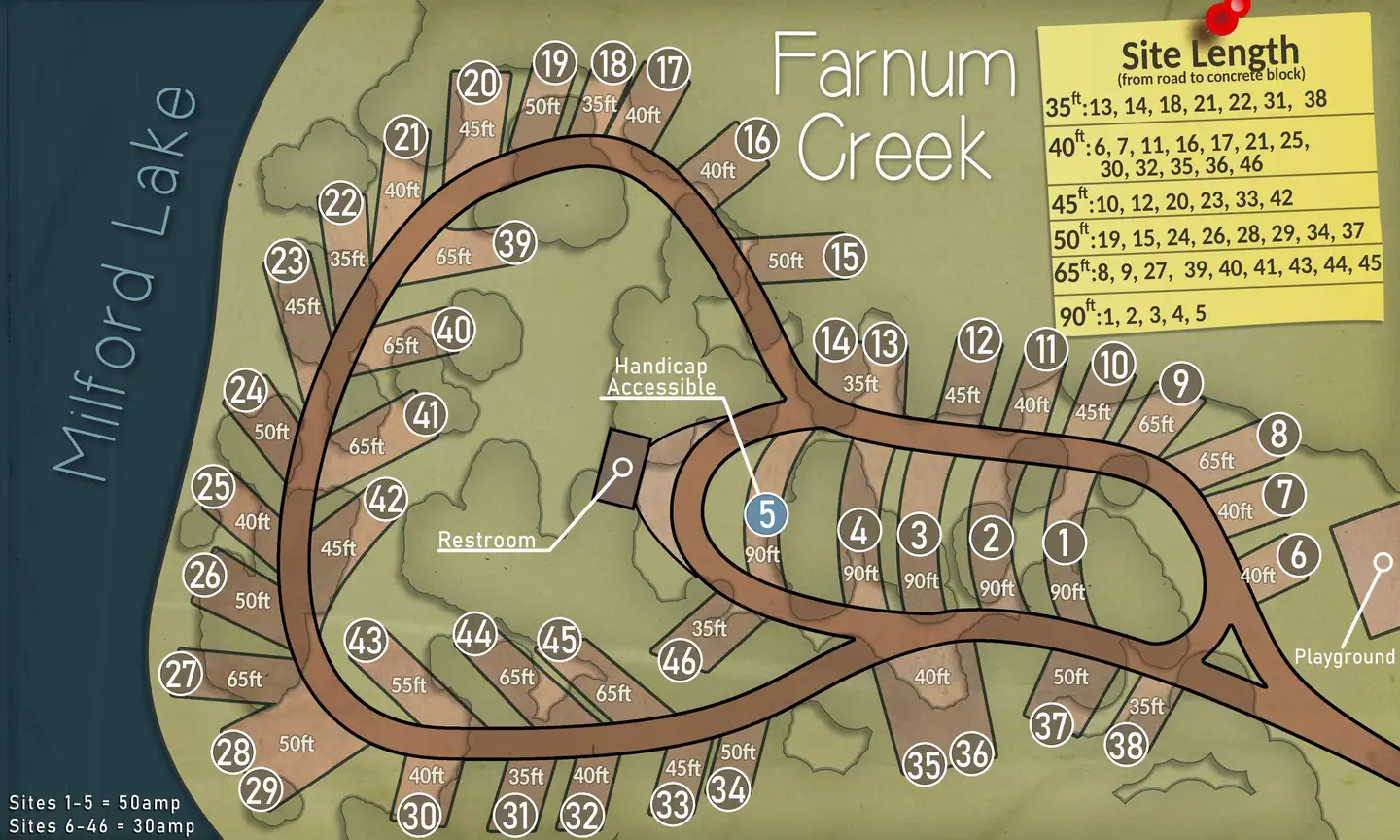
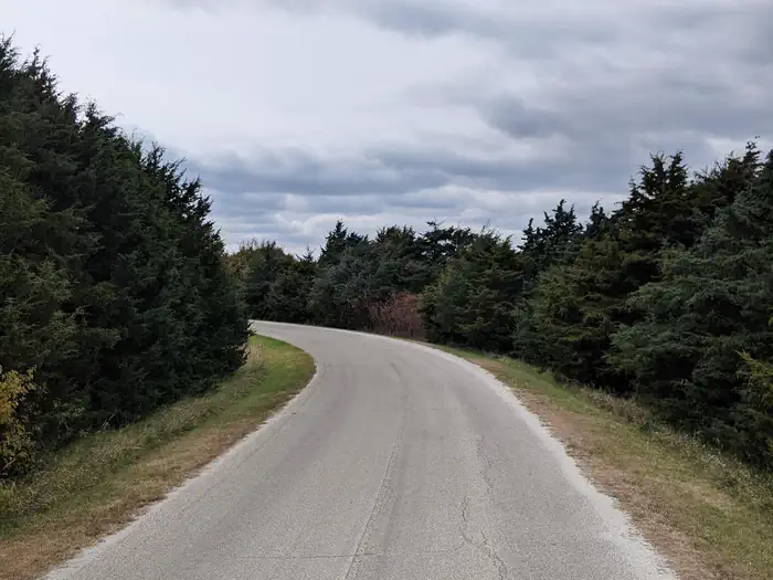
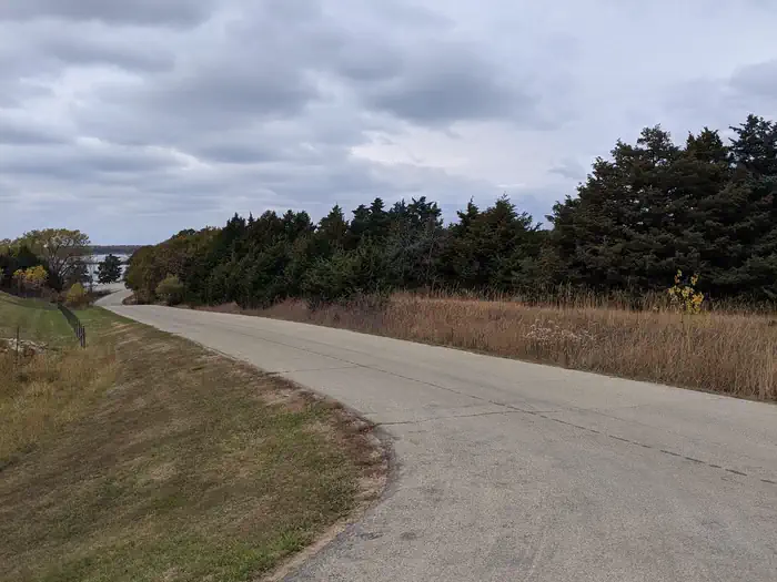
Overview Farnum Creek is a quaint double-loop campground set on the lovely shores of Milford Lake. Click or tap here for an updated map of Farnum Creek Click here for the Milford Lake Virtual Tour. Recreation Boating, swimming, fishing, birding and biking are among the many things to do at Milford Lake. Nearly 70% of the land resources are available for public hunting and for fishermen returning from a successful trip, there is a fish cleaning station. Facilities The campground has five pull-through RV pads, one of which is an accessible site. Of the 59 cap sites, more than half have electric hookups. The park offers the comfort of hot showers, a playground and boat ramp. Natural Features Milford Lake, at 1,200 ft. elevation, extends from the Republican River. It's the largest man-made lake in Kansas, with a surface area of 15,700 acres and 163 miles of shoreline. Nearby Attractions The Milford Nature Center and Fish Hatchery is below the Milford Dam. Beside the nature center is a golf course.
From the managing agency.
Is FARNUM CREEK free?
We do not have a fee on record for FARNUM CREEK. Confirm the cost locally before you go.
How do I get to FARNUM CREEK?
FARNUM CREEK is at 39.1534, -96.8967. We do not hold written directions for this one, so navigate to the coordinates.
Nearby
- NORTH OVERLOOK PARK (KS)4.1 mi
- CURTIS CREEK5.2 mi
- OUTLET PARK (KS)5.5 mi
- WEST ROLLING HILLS5.6 mi
- EAST ROLLING HILLS PARK (KS)5.8 mi
- TUTTLE CREEK COVE16.6 mi
- STOCKDALE16.7 mi
- Outlet Park (Tuttle Creek Lake)17.4 mi
No other services within 50 mi on the record.
SourceSource data is agency published. Last synced September 19, 2026. Community reports and photos are submitted by travelers and are not verified by the agency.
