
EAST ROLLING HILLS PARK (KS)
Campground · Fee not listed
Fast facts
- Cost
- Not listed. Check locally.
- Type
- Campground
- Phone
- 785-238-5714
- Coordinates
- 39.0700, -96.8981
- Last verified
- September 19, 2026
About this place
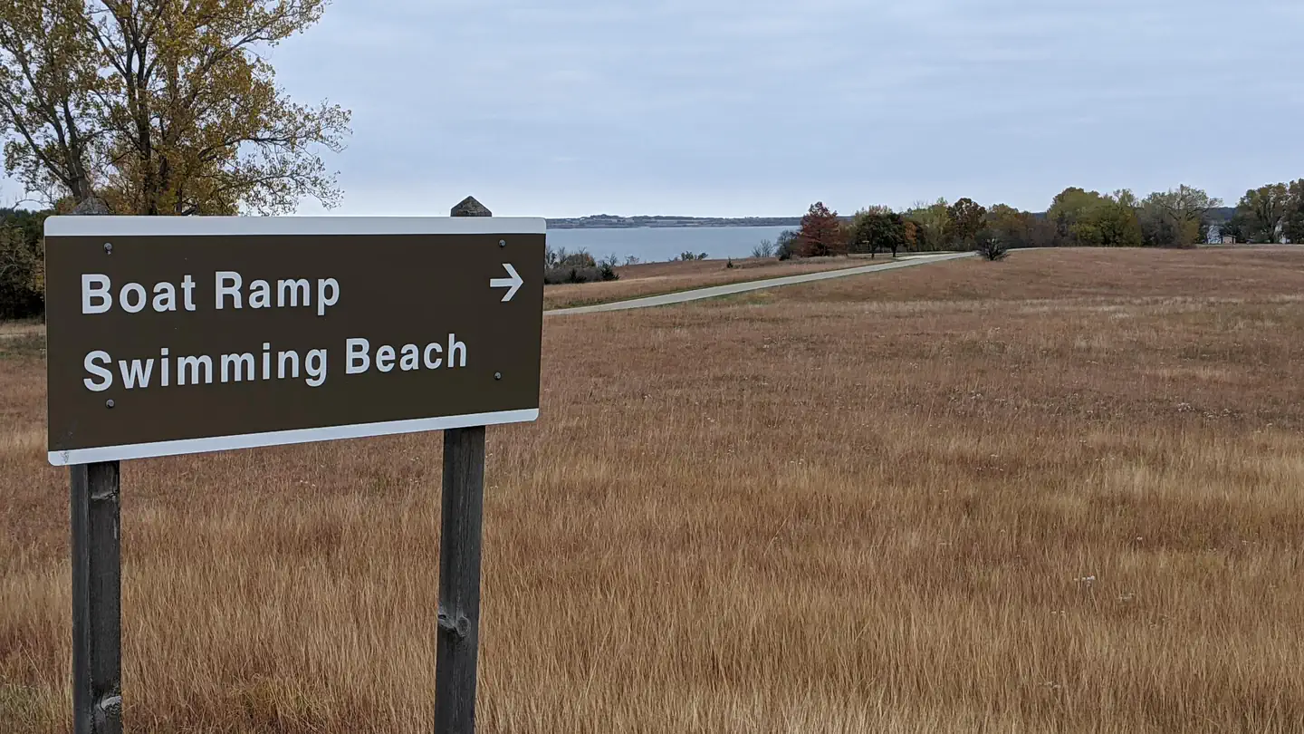
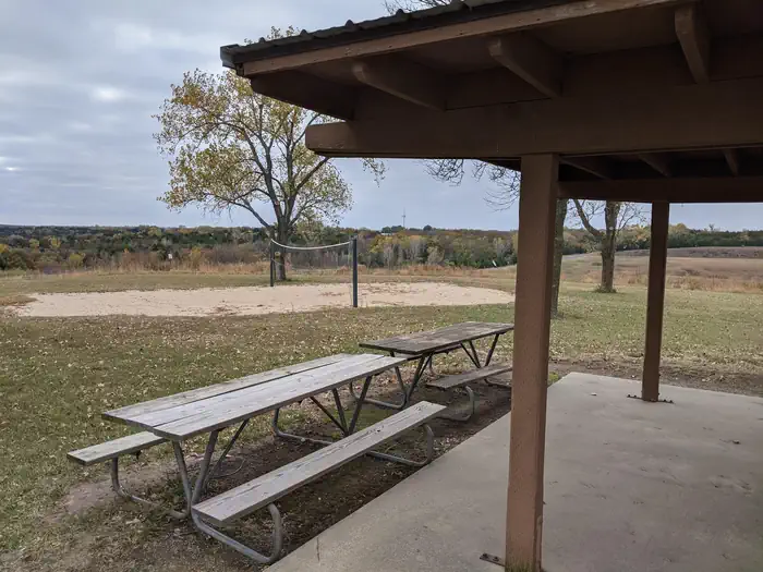
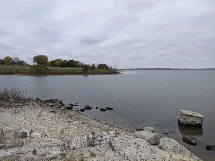
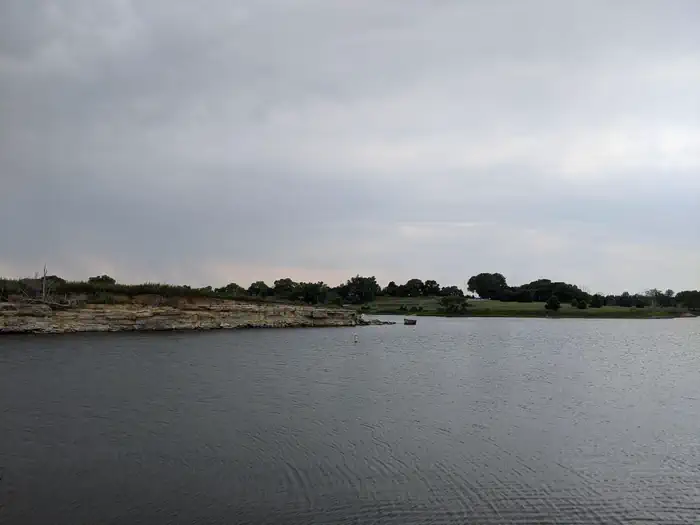
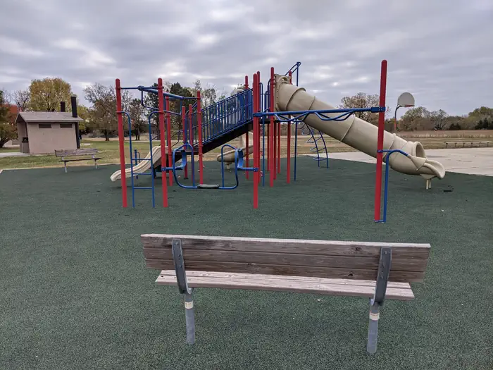
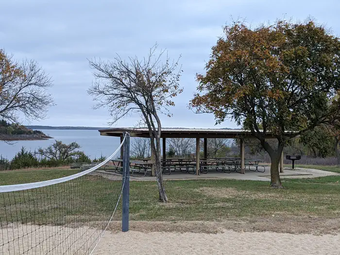
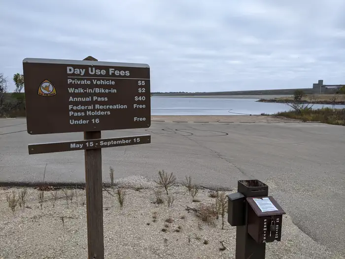
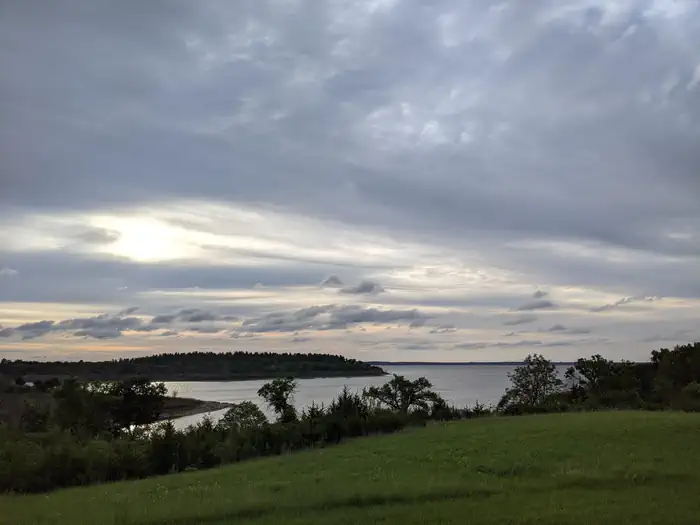
Overview East Rolling Hills day use park is the largest day use park the Corps of Engineers offers at Milford Lake with six shelters available for reservations. Each shelter location is unique but all offer a beautiful view of Milford Lake. Inside the park a swim beach and free boat ramp are also offered to the public. Click here for the Milford Lake Virtual Tour. Recreation Activities at Milford Lake include boating, swimming, fishing, hunting, hiking, wildlife viewing and biking. Milford Lake is known to have great sail boating opportunities as well. Facilities Each shelter has a vault toilet and grill available for use and several of the shelters have playgrounds, horseshoe pits and sand volleyball courts nearby. The park offers a full size basketball court as well. Natural Features Milford Lake is nestled on the edge of the Kansas Flint Hills and is fed by the Republican River. Milford Lake stands as the largest man-made lake in Kansas, with a surface area of 15,700 acres and 163 miles of shoreline. Milford Lake is also the home of the states third largest wetland and is known for a variety of wildlife. Nearby Attractions The Milford Nature Center and Fish Hatchery is nearby just below the dam. There you can find live animal exhibits as well as learn about the ecosystems of Kansas. A golf course is adjacent to the nature center on the north end of the Dam and the town of Junction City is approximately five miles from North Overlook Shelter.
From the managing agency.
Is EAST ROLLING HILLS PARK (KS) free?
We do not have a fee on record for EAST ROLLING HILLS PARK (KS). Confirm the cost locally before you go.
How do I get to EAST ROLLING HILLS PARK (KS)?
EAST ROLLING HILLS PARK (KS) is at 39.0700, -96.8981. We do not hold written directions for this one, so navigate to the coordinates.
Nearby
- OUTLET PARK (KS)0.2 mi
- WEST ROLLING HILLS1.4 mi
- NORTH OVERLOOK PARK (KS)1.7 mi
- CURTIS CREEK3.4 mi
- FARNUM CREEK5.8 mi
- TUTTLE CREEK COVE20.2 mi
- Outlet Park (Tuttle Creek Lake)20.3 mi
- STOCKDALE20.9 mi
No other services within 50 mi on the record.
SourceSource data is agency published. Last synced September 19, 2026. Community reports and photos are submitted by travelers and are not verified by the agency.
