
BLOOMINGTON EAST
Campground · Fee not listed
Fast facts
- Cost
- Not listed. Check locally.
- Type
- Campground
- Phone
- 785-843-7665
- Coordinates
- 38.9079, -95.3753
- Last verified
- September 19, 2026



About this place
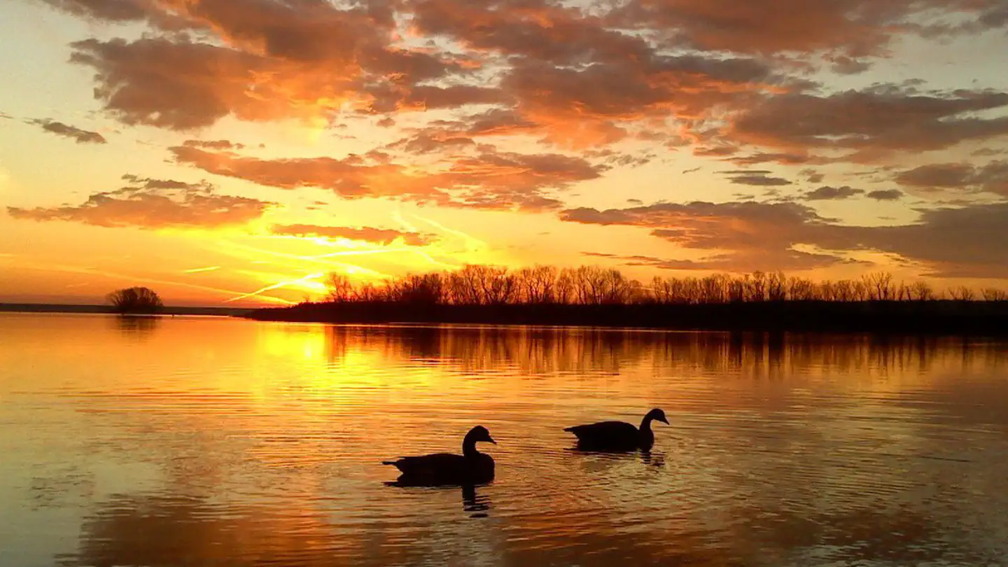
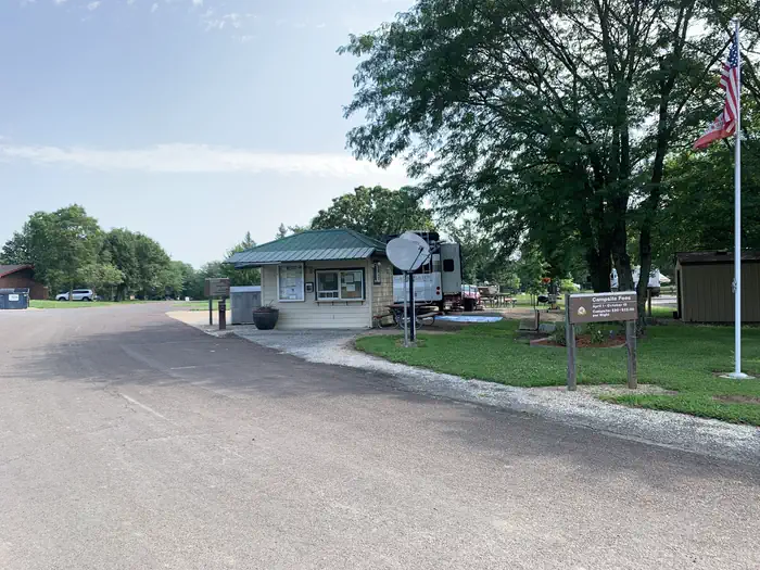
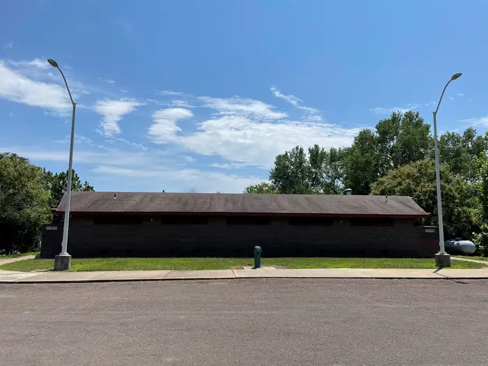
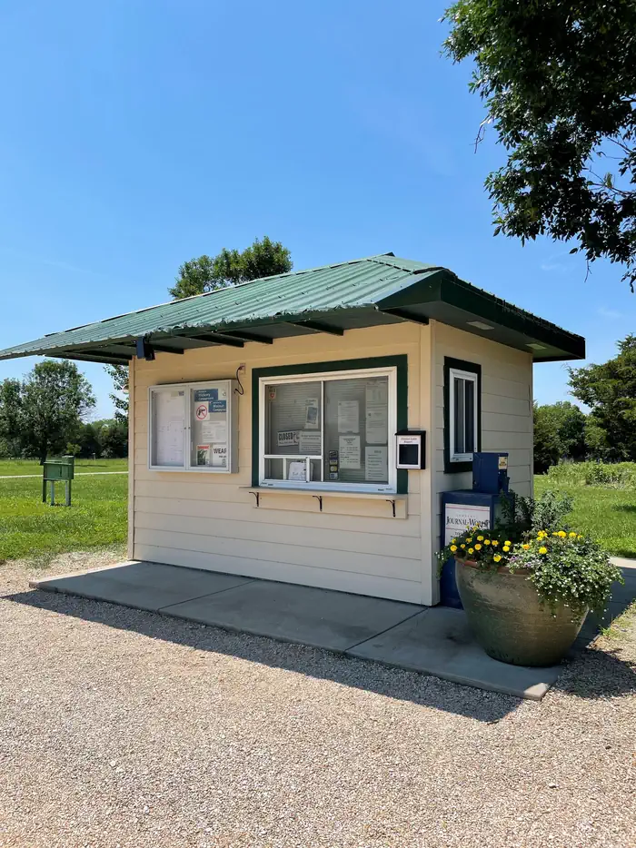
Overview Bloomington East Park includes Cedar Ridge, Hickory/Walnut, and Oak Campgrounds, Ash and Elm Group Camps, and Bloomington Beach Picnic Shelters. The park is located just west of Clinton Lake, between the Rock Creek and Wakarusa River arms of the lake, and offers several different recreational options. Within Bloomington East Park, visitors have the opportunity to reserve picnic shelters and campsites, both for group camping and individual family camping. Recreation Bloomington Beach has a large sandy beach for swimming. Bloomington Beach requires a day use fee, for non-campers, between May 1 and September 30. Bloomington East offers 4 sets of boat ramps with courtesy docks. Launching a Boat requires a day use fee, for non-campers, between April 1 and November 30. Bloomington East offers over 300 campsites ranging from primitive to full hook-up to group camps 4 group shelters and dozens of picnic tables throughout the park make Bloomington East the perfect spot for vistitors just wanting to visit or the day. There are horseshoe pits, sand volleyball courts and playgrounds located several places in Bloomington East Park, making it the perfect spot for families. A full 18-hole professional disc golf course is also available free to all visitors (sets of disc can be borrowed from the camp host stations). Clinton Lake offers opportunities for boating, fishing, canoeing, jet skiing, swimming and countless other water sports, making it the main attraction in Bloomington East Park. The lake's fish and wildlife resources provide sightseers, fishermen, and hunters, ample opportunities for their sports, and Clinton Lake is well-stocked with crappie, walleye, channel catfish and white bass. Bloomington East Park has three boat ramps within a short driving distance of the campgrounds. These boat ramps (#5, 6 and 7) do require a day use fee, for non-campers, between April 1 and October 31. Visitors enjoy viewing bald eagles, white-tailed deer, Canada geese, wild turkey and other wildlife in abundance at Clinton Lake. Bloomington East offers the Smokehouse Trail, while three other trail systems are located around Clinton Lake, including the North Shore, South Shore and the George Latham Trails. All offer hiking, biking and equestrian opportunities within a 20 minute drive. Facilities The Bloomington Beach Day Use area has four picnic shelters. This spacious day use picnic area is located adjacent to Bloomington Beach providing an ideal location for large group or family gatherings. The picnic shelters are reservable, for a fee, or free to use on a first-come, first-serve basis, if not already reserved, and have electrical outlets. There are several single picnic tables for use by smaller groups. Cedar Ridge and Hickory Walnut Campgrounds are the two main campgrounds, comprised of individual family sites. Many of these campsites have electrical or electrical and water hookups. Somewhat removed from the larger Hickory Walnut Campground, are Oak Campground, Elm Group Camp and Ash Group Camp. Oak Campground is a loop of Hickory Walnut Campground, with individual family campsites. Elm Group Camp and Ash Group Camp are larger, grassy areas, available for reservation, by larger groups, accommodating up to 75 people. Elm and Ash Group Camps are intended for tent camping groups, but can handle a limited number of small trailers, such as tent campers, as long as they remain on the gravel circle drive. There is no electricity provided in Elm or Ash Group Camps. Cedar Ridge, Hickory Walnut and Bloomington Beach Day Use area provide amenities like flush toilets, drinking water, showers and a nearby dump station for a comfortable camping experience. There is a covered, accessible fishing dock a short drive or walk from the campgrounds and picnic shelters. Natural Features Congress authorized Clinton Lake in 1962, and the finished reservoir was filled in 1980. While the Dam and Reservoir were originally built for flood control, the area has now become a recreational oasis for millions of visitors to enjoy the beautiful green Kansas backdrop. Clinton Lake's beautiful setting of steep bluffs, wooded shoreline and clean water is unequaled among Kansas lakes. Shoreline development has been limited in an effort to preserve as much of the natural setting as possible. Clinton Lake spans 8 miles up the Wakarusa Valley and covers 7,000 surface acres. If the lake ever approaches the top of its flood pool, an additional 5,800 acres will be covered, extending the area to 13 miles along the valley floor. Nearby Attractions The Visitor Center, located on the northwest side of the dam, has several informative displays covering topics such as the history of the area, reasons for the dam and the wildlife in the area. The Clinton Lake Museum, located within Bloomington East Park, has several informative displays covering topics like the history of the region and the Underground Railroad. The cities of Lawrence and Topeka are within a 30 minute drive. Charges & Cancellations
From the managing agency.
Is BLOOMINGTON EAST free?
We do not have a fee on record for BLOOMINGTON EAST . Confirm the cost locally before you go.
How do I get to BLOOMINGTON EAST ?
BLOOMINGTON EAST is at 38.9079, -95.3753. We do not hold written directions for this one, so navigate to the coordinates.
Nearby
- Rockhaven Park Campground and Equestrian Area1.1 mi
- BLOOMINGTON WEST1.7 mi
- OVERLOOK PARK3.0 mi
- PERRY14.9 mi
- ROCK CREEK (KS)15.3 mi
- SLOUGH CREEK15.9 mi
- WOLF CREEK (KS)19.1 mi
- MICHIGAN VALLEY19.2 mi
No other services within 50 mi on the record.
SourceSource data is agency published. Last synced September 19, 2026. Community reports and photos are submitted by travelers and are not verified by the agency.
