
MICHIGAN VALLEY
Campground · Fee not listed
Fast facts
- Cost
- Not listed. Check locally.
- Type
- Campground
- Phone
- 785-453-2201
- Coordinates
- 38.6647, -95.5489
- Last verified
- September 19, 2026
About this place
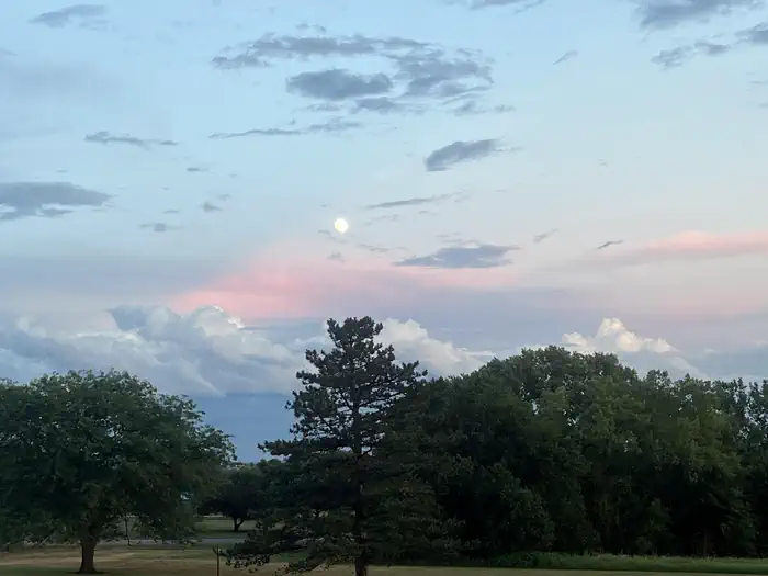
Overview Michigan Valley Campground is located in eastern Kansas on the shores of Pomona Lake. The scenic park appeals to family campers, sportsmen and water sport enthusiasts. The reservoir covers 4,000 acres and offers excellent fishing and boating opportunities. Recreation Fishing, boating, picnicking,and hunting are favorite activities on and around Pomona Lake. The lake's fish and wildlife resources provide ample opportunities for sportsmen and women. Three nearby trails meander around Pomona Lake, providing visitors with hiking and nature study opportunities. Deer Creek Nature Trail and Witches' Broom Trail are short trails for hikers. The Black Hawk Trail offers a 33 mile loop with several trailheads and is a popular hiking, horseback riding and mountain biking path. Facilities Michigan Valley Campground offers 87 campsites, 51 of which have electric and water hookups. Three additional group picnic shelters have electric hookups. Other amenities include flush and vault toilets, a shower building, playground, basketball court, swim beach and dump station. Natural Features Pomona Lake is situated among the rolling hills, mixed grasslands, croplands and forests of eastern Kansas. Wildlife and numerous species of birds can be observed at this secluded, heavily shaded campground. Bald eagles, white-tailed deer, Canada geese, wild turkey, crappie, walleye, channel catfish and other wildlife can be found here. Nearby Attractions Numerous parks lie on the banks of Pomona Lake, offering additional boating, fishing, swimming, hunting and hiking opportunities. The town of Lyndon, Kansas is 20 minutes away, with limited restaurants and shops. This small town is home to 22 historical sites and the smallest Carnegie library still in use.
From the managing agency.
Is MICHIGAN VALLEY free?
We do not have a fee on record for MICHIGAN VALLEY. Confirm the cost locally before you go.
How do I get to MICHIGAN VALLEY?
MICHIGAN VALLEY is at 38.6647, -95.5489. We do not hold written directions for this one, so navigate to the coordinates.
Nearby
- WOLF CREEK (KS)1.3 mi
- OUTLET (POMONA LAKE)1.4 mi
- CARBOLYN PARK7.1 mi
- OUTLET(MELVERN)13.5 mi
- COEUR D'ALENE14.7 mi
- ARROW ROCK16.5 mi
- TURKEY POINT17.4 mi
- Rockhaven Park Campground and Equestrian Area18.2 mi
No other services within 50 mi on the record.
SourceSource data is agency published. Last synced September 19, 2026. Community reports and photos are submitted by travelers and are not verified by the agency.
