
PERRY
Campground · Fee not listed
Fast facts
- Cost
- Not listed. Check locally.
- Type
- Campground
- Phone
- 785-597-5144
- Coordinates
- 39.1222, -95.4083
- Last verified
- September 19, 2026
About this place
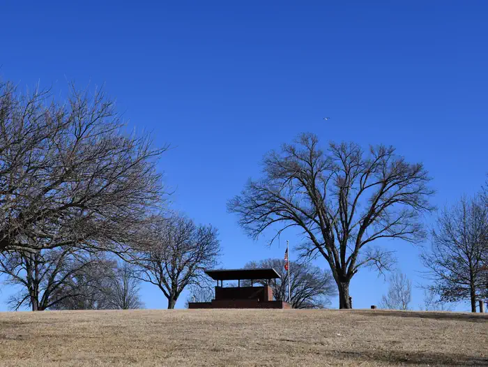
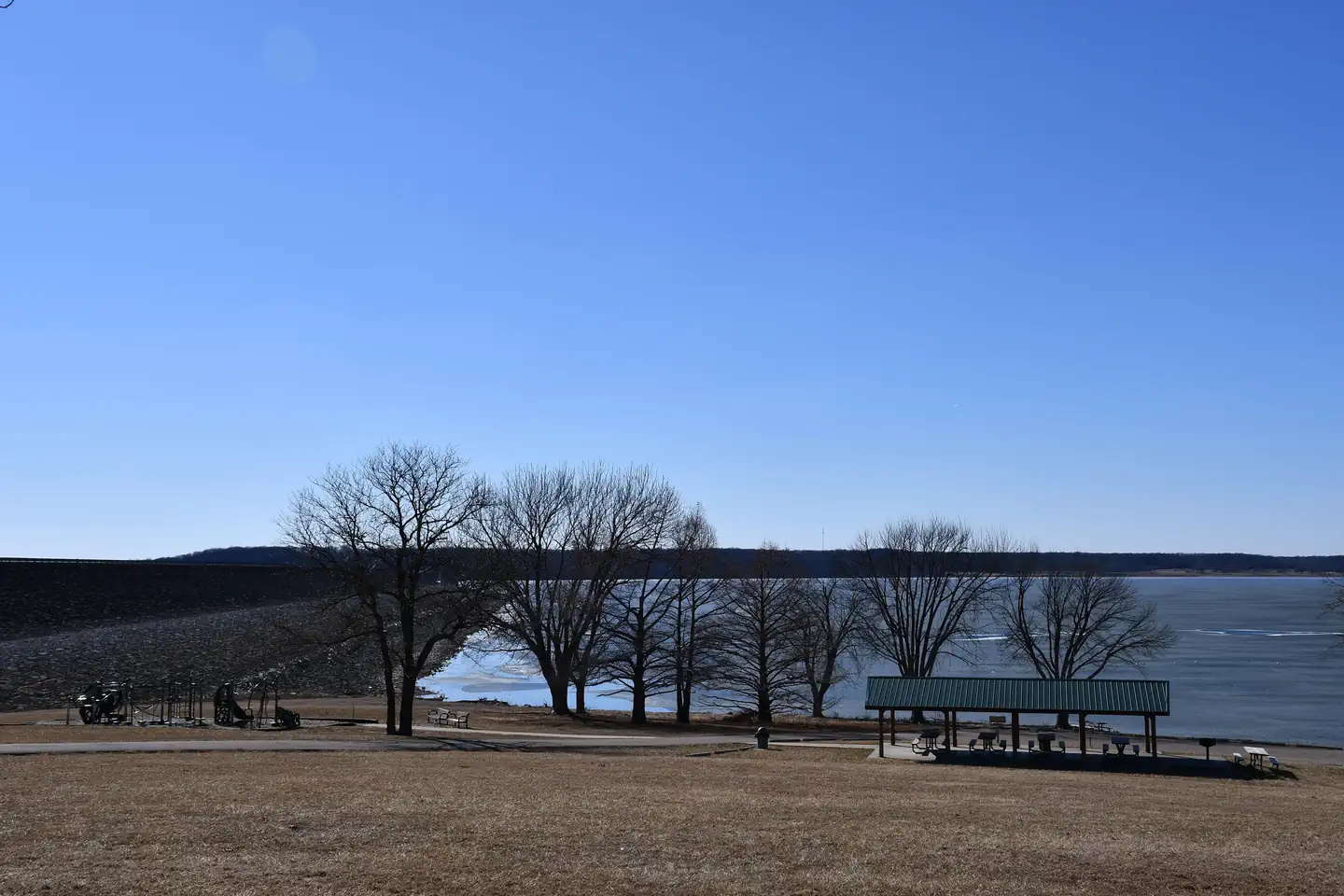
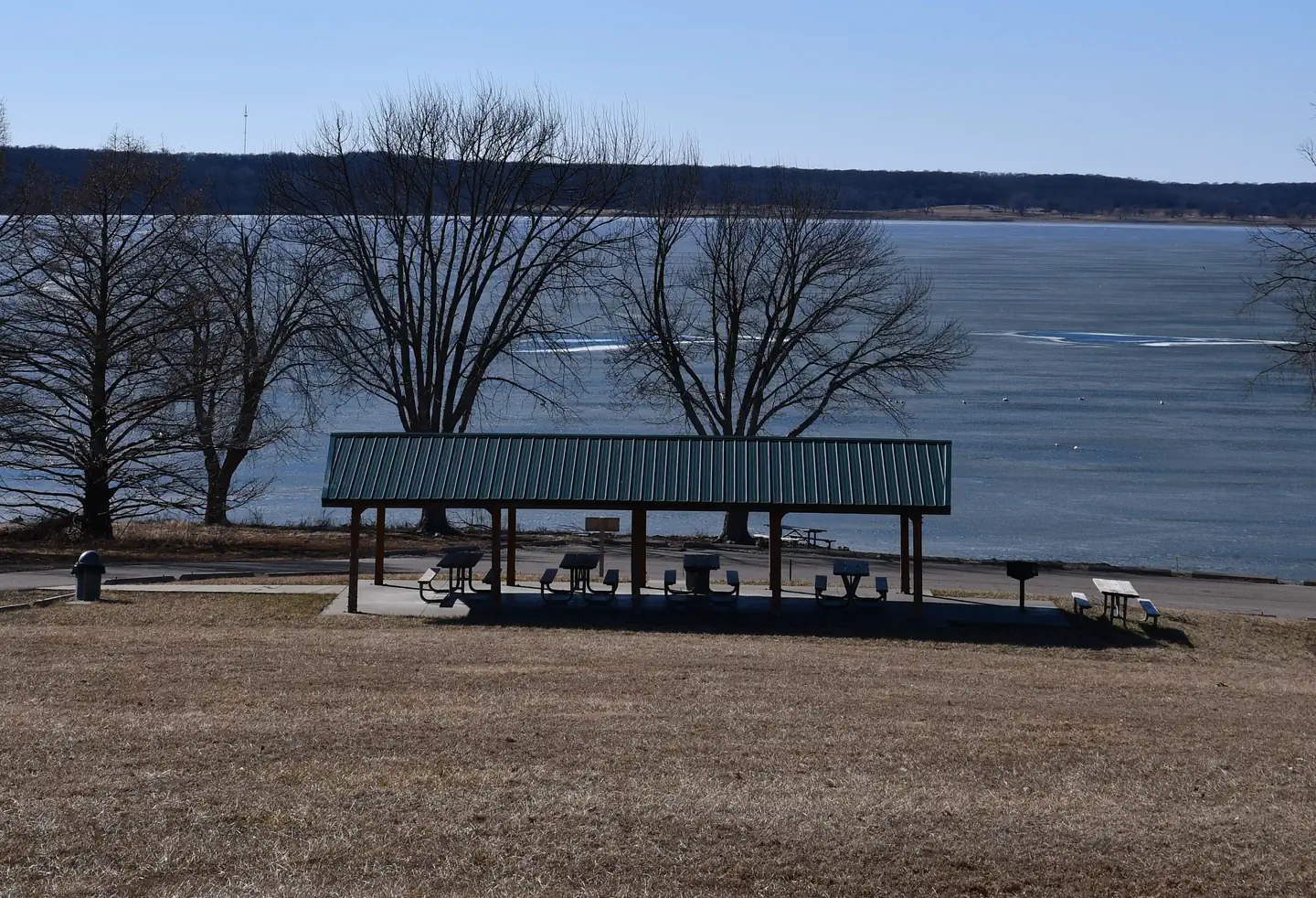
Overview Perry Park is a recreational day use area, situated near the dam on the south end of Perry Lake. Recreation Perry lake has a reputation for being one of the best sailing lakes in the region; however, boaters of all types will enjoy the many opportunities offered here, whether it's sailing, power boating or canoeing. Perry Lake offers excellent fishing: White crappie, flathead catfish, walleye, white bass, channel catfish and sauger are in abundance throughout the lake. In addition to the vast lake, the area has approximately 27,000 acres of public land dedicated to wildlife management: turkey, deer, quail, pheasant, rabbit, squirrel, duck and geese are all found on these federal lands. Facilities Perry Park is located next to a marina and the lake information center, and features a reservable picnic shelters, making it ideal for a large party or family function. Natural Features Perry Lake Dam was completed in 1969 to help with flood control for the Missouri and Mississippi Rivers. Today, the lake boasts 159 miles of shoreline and 12,000 surface acres of water, creating countless recreational activities for visitors, and earning it the nickname "paradise on the plains." The park is surrounded by the lake and a beach on one side offering plenty of access to the shoreline. Nearby Attractions Several popular trails, including the 29-mile Perry Hiking Trail, are located nearby, along with a public marina. Perry Lake is also a short drive from Lawrence, Topeka, and Kansas City--each offering their own array of unique shopping, dining, and attractions.
From the managing agency.
Is PERRY free?
We do not have a fee on record for PERRY. Confirm the cost locally before you go.
How do I get to PERRY?
PERRY is at 39.1222, -95.4083. We do not hold written directions for this one, so navigate to the coordinates.
Nearby
- SLOUGH CREEK1.5 mi
- ROCK CREEK (KS)2.5 mi
- LONGVIEW4.7 mi
- OLD TOWN7.3 mi
- OVERLOOK PARK13.0 mi
- BLOOMINGTON WEST13.7 mi
- BLOOMINGTON EAST 14.9 mi
- Rockhaven Park Campground and Equestrian Area16.0 mi
No other services within 50 mi on the record.
SourceSource data is agency published. Last synced September 19, 2026. Community reports and photos are submitted by travelers and are not verified by the agency.
