
OLD KUTTAWA
Campground · Fee not listed
Fast facts
- Cost
- Not listed. Check locally.
- Type
- Campground
- Phone
- LAKE BARKLEY RESOURCE MANAGERS OFFICE: 270-362-4236
- Coordinates
- 37.0572, -88.1124
- Last verified
- September 19, 2026
About this place
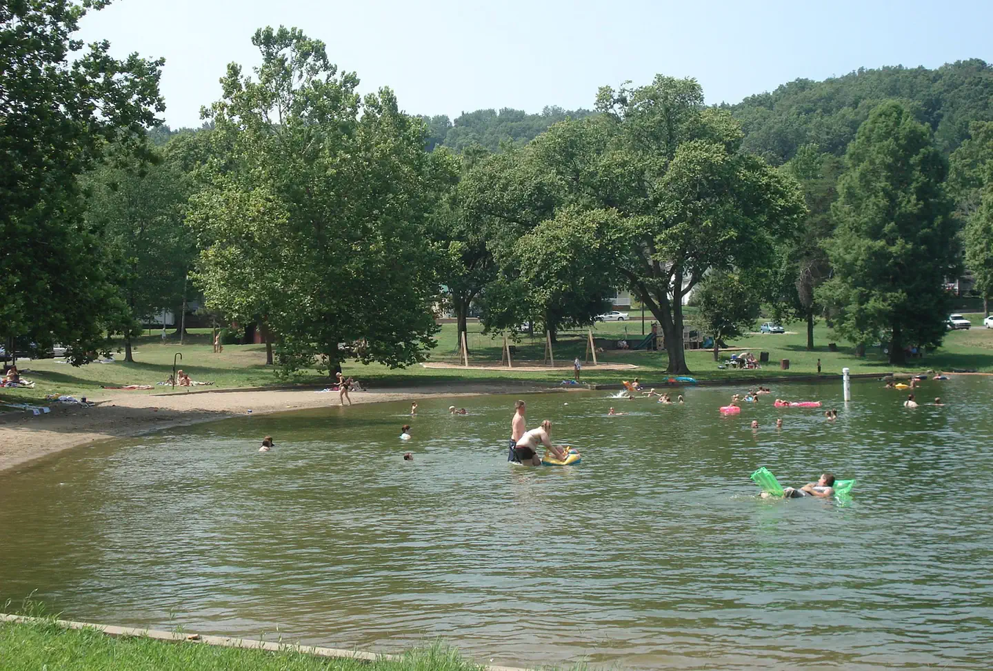
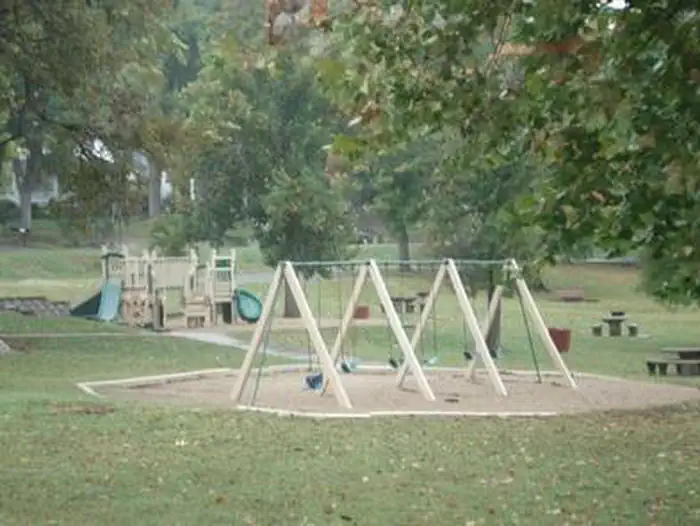
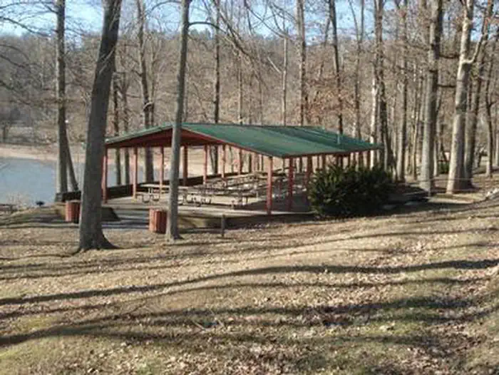
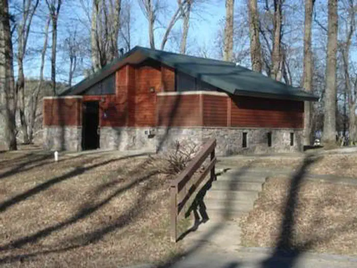
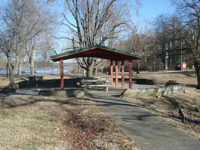
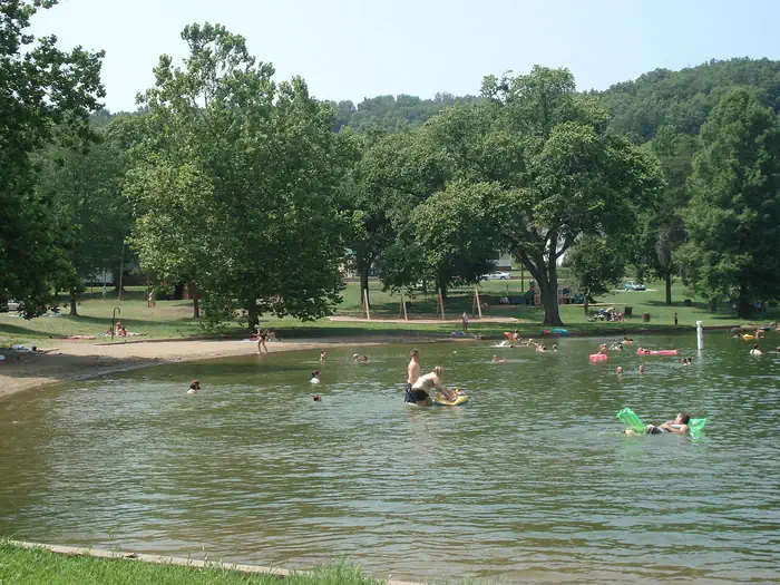
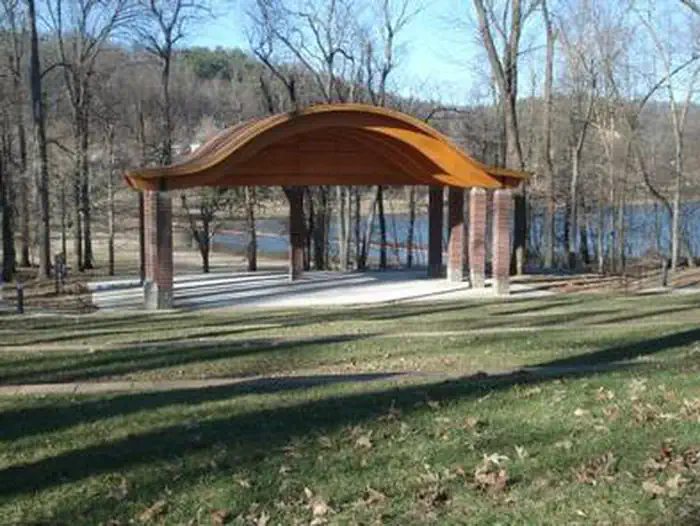
Overview Old Kuttawa Recreation Area is on the northern shores of Lake Barkley, near the narrow canal linking it to Kentucky Lake. Together, these two reservoirs combine to create one of the greatest freshwater recreation areas in the country. Take pleasure in a day of picnicking or soak up the sun at the swimming beach, either way Old Kuttawa provides an ideal setting to enjoy nature at its best. Recreation The half-mile Anderson Woodland Trail is an enjoyable footpath for birding and viewing the great tall trees of the region. Other activities include swimming, fishing and boating. Facilities Two large picnic pavilions, an ampitheater, a playground, restrooms and paved parking are available. Plenty of picnic tables and grills are scattered around the recreation area, with ample shade for sunny summer days. **In order to reserve the ampitheater, you must reserve site 1 (large shelter). Natural Features Lake Barkley spans 57,900 acres with 1,004 miles of shoreline and offers warm water temperatures during summer months that make for comfortable recreation. Running parallel to Barkley Lake is its neighbor, Kentucky Lake, with the Land Between the Lakes National Recreation Area nestled between. Nearby Attractions See the astonishing Floodwall Murals in the town of Paducah. It is a gallery that captures Paduca's rich history.
From the managing agency.
Is OLD KUTTAWA free?
We do not have a fee on record for OLD KUTTAWA. Confirm the cost locally before you go.
How do I get to OLD KUTTAWA?
OLD KUTTAWA is at 37.0572, -88.1124. We do not hold written directions for this one, so navigate to the coordinates.
Nearby
- Eddyville Ferry2.3 mi
- EUREKA5.0 mi
- Demumbers Bay6.1 mi
- Nickell Branch Campground6.8 mi
- CANAL6.9 mi
- Cravens Bay Campground7.4 mi
- Twin Lakes Campground8.2 mi
- Hillman Ferry Campground8.7 mi
No other services within 50 mi on the record.
SourceSource data is agency published. Last synced September 19, 2026. Community reports and photos are submitted by travelers and are not verified by the agency.
