
CANAL
Campground · Fee not listed
Fast facts
- Cost
- Not listed. Check locally.
- Type
- Campground
- Phone
- 270-362-4840
- Coordinates
- 36.9956, -88.2097
- Last verified
- September 19, 2026
About this place
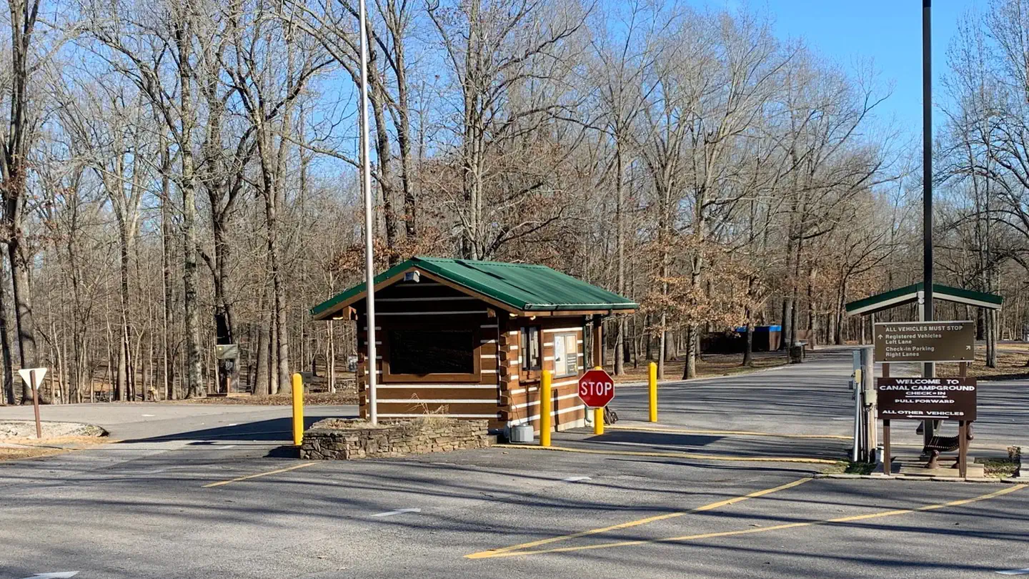
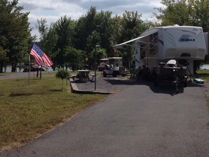
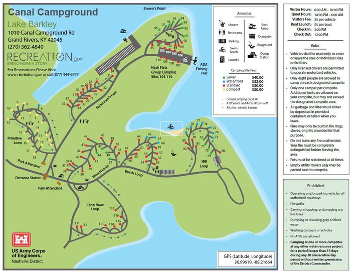
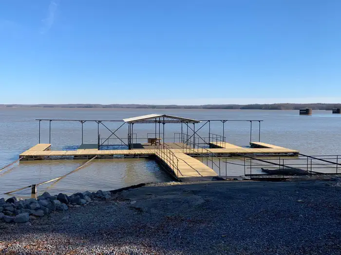
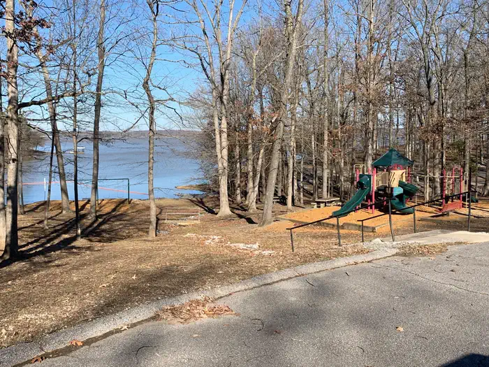
Overview Situated along a peninsula between the lush shorelines of Lake Barkley and Kentucky Lake, Canal Campground offers modern camping and provides the ideal setting to enjoy nature at its best with family and friends. Visitors can enjoy a stunning view of the Barkley Dam and boats traveling through the canal from the comfort of their campsite. The campground faces Barkley Lake, and the shore of Kentucky Lake is a brisk one-mile walk across the canal. Recreation From water sports to wildlife viewing to hiking and biking, Canal Campground is the perfect setting for outdoor activities. Eagle nests can be spotted throughout the grounds, and its not unlikely for visitors to encounter deer and other wildlife. A short hiking trail allows campers to enjoy the outdoor scenery at their leisure. Fishing is also a popular pastime, and during warm months bass and catfish are plentiful in both lakes. Facilities A designated swimming beach and a boat ramp help campers enjoy the lake. Picnic pavilions and a playground create a perfect setting for a party or family get-together. For group camping, several sites surrounding the pavilion can be reserved, and a fishing float nearby allows groups to go out on the lake together. Electric hook-ups, showers and flush restrooms create a comfortable camping experience. Natural Features Lake Barkley, as part of a dam project at the Cumberland River, spans 134 miles along the Kentucky landscape, offering countless recreational activities to visitors. The canal connects Lake Barley with Kentucky Lake, forming one of the greatest freshwater recreational complexes in the country. Nearby Attractions Grand Rivers, a short drive from the campground, has several restaurants and two public marinas.
From the managing agency.
Is CANAL free?
We do not have a fee on record for CANAL. Confirm the cost locally before you go.
How do I get to CANAL?
CANAL is at 36.9956, -88.2097. We do not hold written directions for this one, so navigate to the coordinates.
Nearby
- Nickell Branch Campground0.7 mi
- EUREKA2.2 mi
- Twin Lakes Campground2.4 mi
- Demumbers Bay3.5 mi
- Hillman Ferry Campground3.9 mi
- Pisgah Point4.7 mi
- Birmingham Ferry Campground5.5 mi
- Smith Bay Campground6.8 mi
No other services within 50 mi on the record.
SourceSource data is agency published. Last synced September 19, 2026. Community reports and photos are submitted by travelers and are not verified by the agency.
