
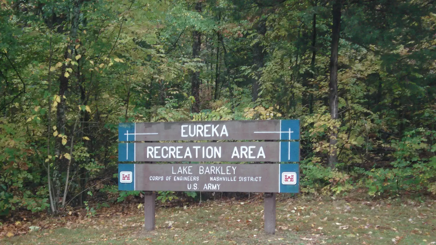
EUREKA
Campground · Fee not listed
Fast facts
- Cost
- Not listed. Check locally.
- Type
- Campground
- Phone
- 270-388-9459
- Coordinates
- 37.0251, -88.1940
- Last verified
- September 19, 2026
About this place
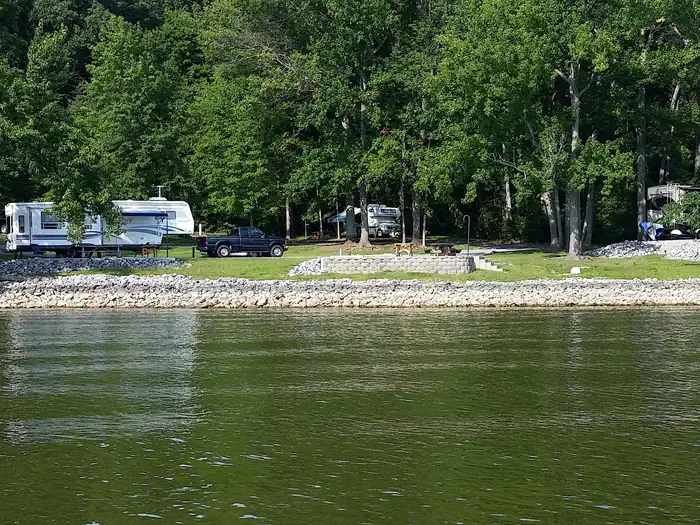
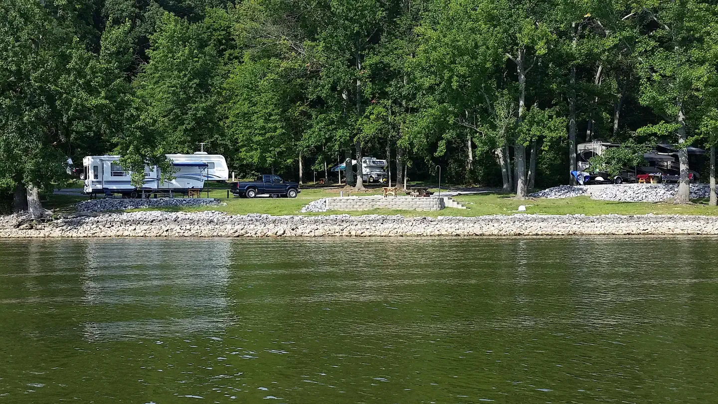
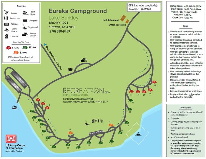
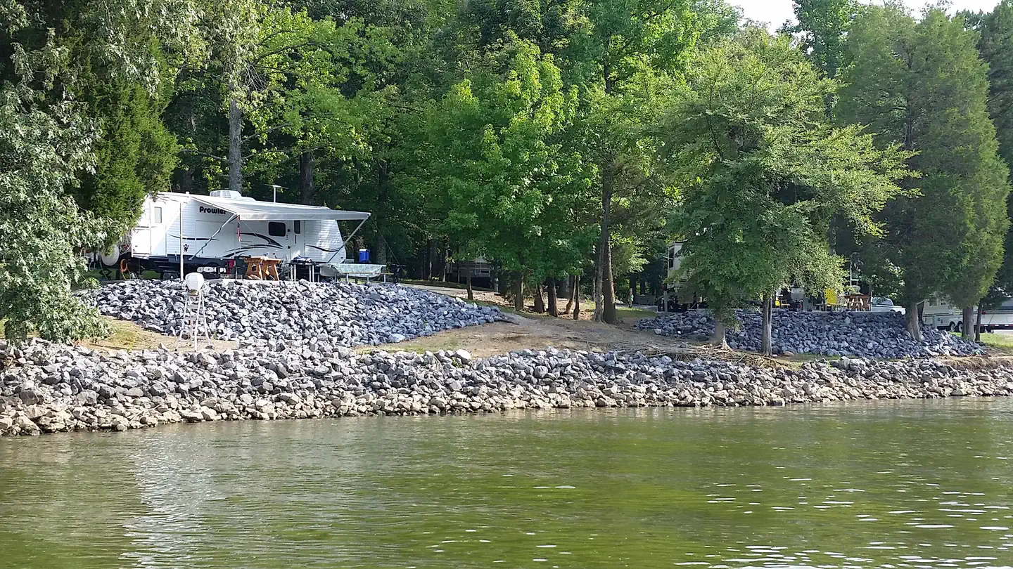
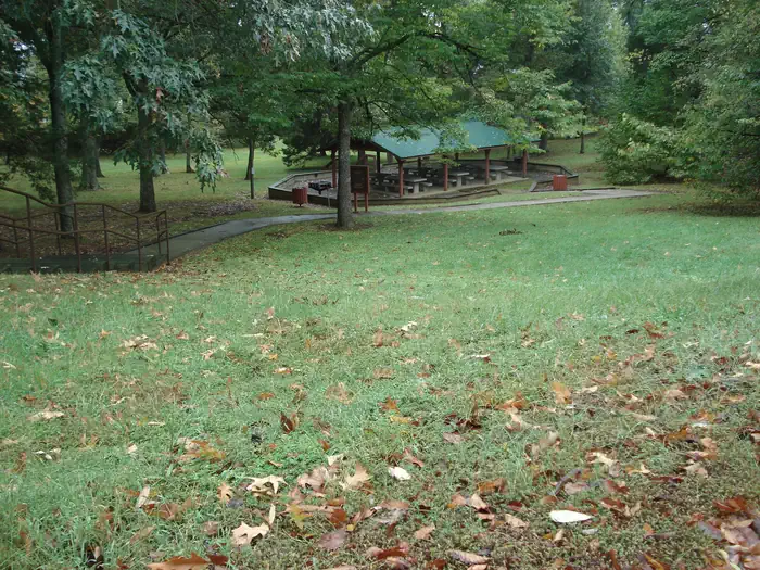
Overview Eureka Campground sits on Lake Barkley among wooded rolling hills and abundant wildlife. Fishing is a well-loved sport here; Kentucky's largest yellow bass was caught in these waters, and anglers flock with hopes of breaking the record. Recreation Hikers and bikers are fans of the 2.5 mile Chestnut Oaks Trail that starts here. Other activities include boating, fishing and swimming. Facilities The campground offers 26 sites with water and electric hookups. Additional amenities include hot showers, playground, boat ramp and swimming area. A picnic shelter is available for groups up to 100 guests. Electric hookups are available. Natural Features Lake Barkley, the western-most lake on the Cumberland River is connected by a canal to Kentucky Lake, forming one of the nation's greatest freshwater recreation complexes. Between the two lakes is Land Between the Lakes National Recreation Area, featuring miles of hiking trails and opportunities for off-road vehicle riding. Nearby Attractions Visit Fort Donelson National Battlefield, where the Union Army won their first battle of the Civil War. Another great destination in the Land Between the Lakes National Recreation Area, with more than 170,000 acres of public land to explore.
From the managing agency.
Is EUREKA free?
We do not have a fee on record for EUREKA. Confirm the cost locally before you go.
How do I get to EUREKA?
EUREKA is at 37.0251, -88.1940. We do not hold written directions for this one, so navigate to the coordinates.
Nearby
- CANAL2.2 mi
- Nickell Branch Campground2.6 mi
- Demumbers Bay4.2 mi
- Twin Lakes Campground4.4 mi
- OLD KUTTAWA5.0 mi
- Hillman Ferry Campground5.6 mi
- Eddyville Ferry5.9 mi
- Pisgah Point6.3 mi
No other services within 50 mi on the record.
SourceSource data is agency published. Last synced September 19, 2026. Community reports and photos are submitted by travelers and are not verified by the agency.
