
Spyglass Ground House
USFS · Campground · Fee
Fast facts
- Cost
- Fee charged
- Managed by
- USFS
- Type
- Campground
- Phone
- 208-783-2363
- Coordinates
- 47.8421, -116.1970
- Last verified
- September 19, 2026
About this place
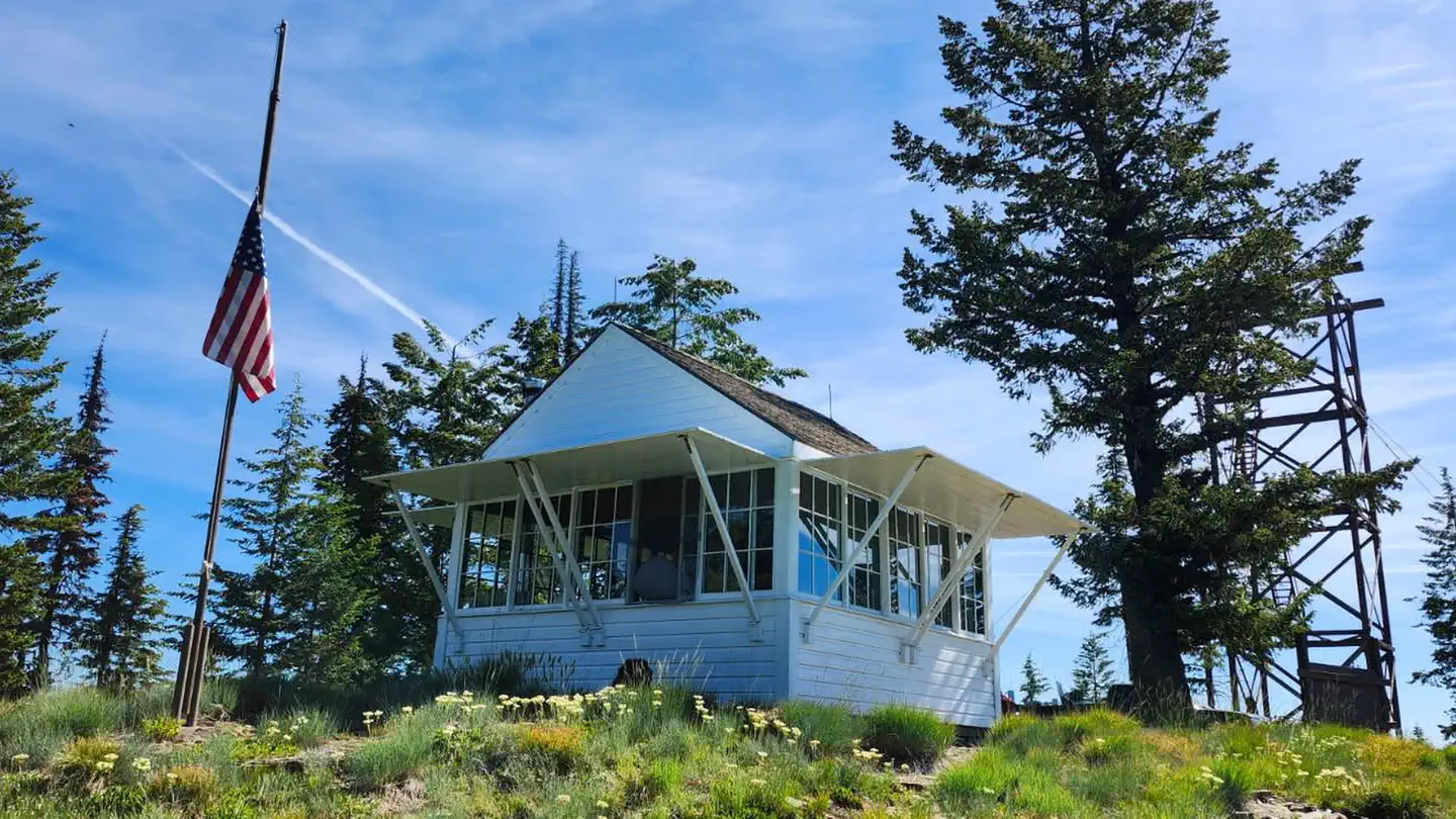
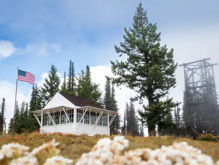
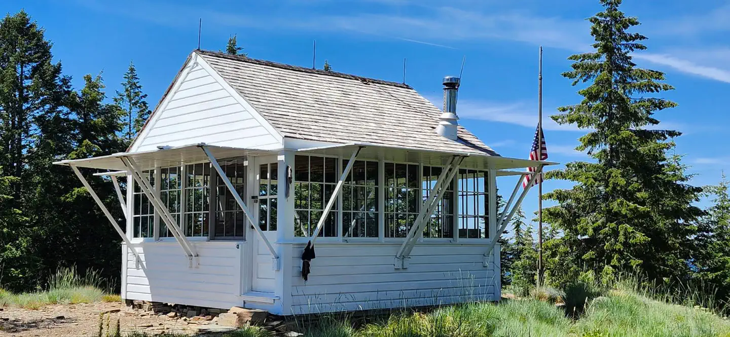
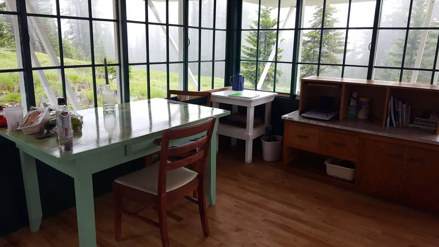
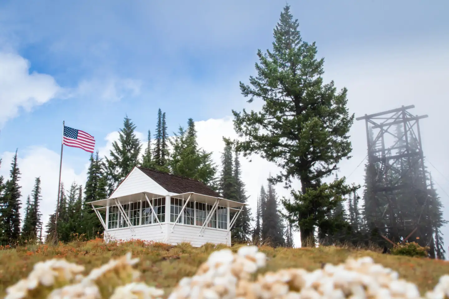
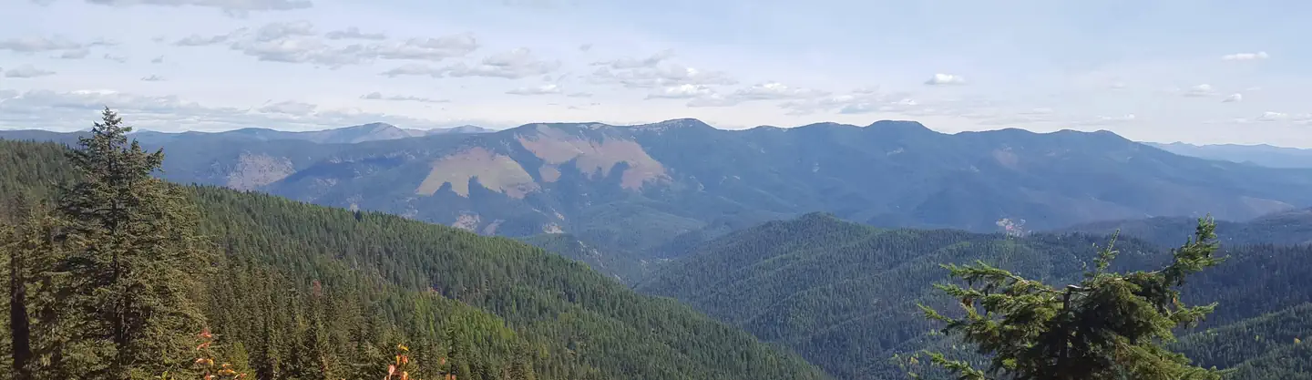
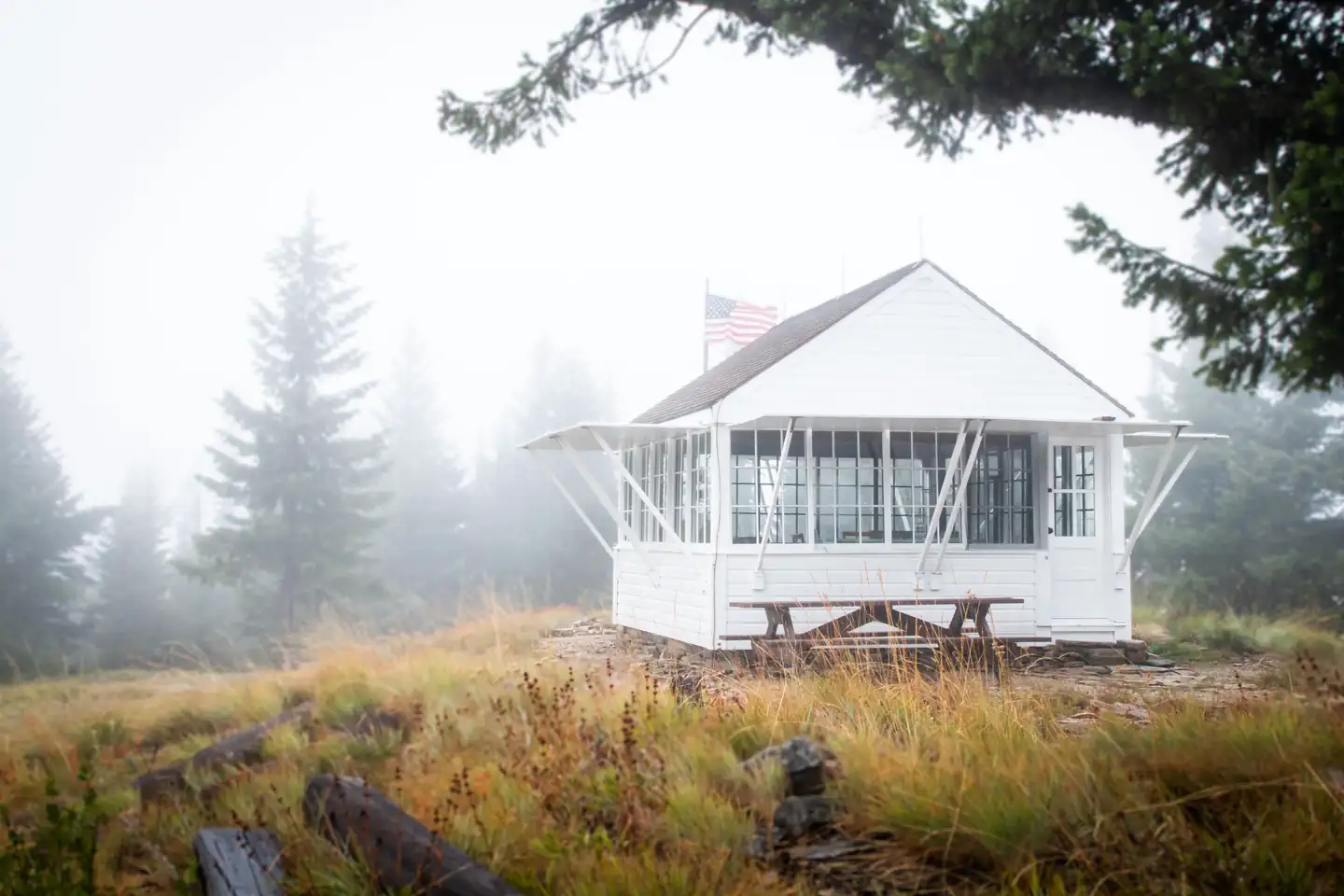
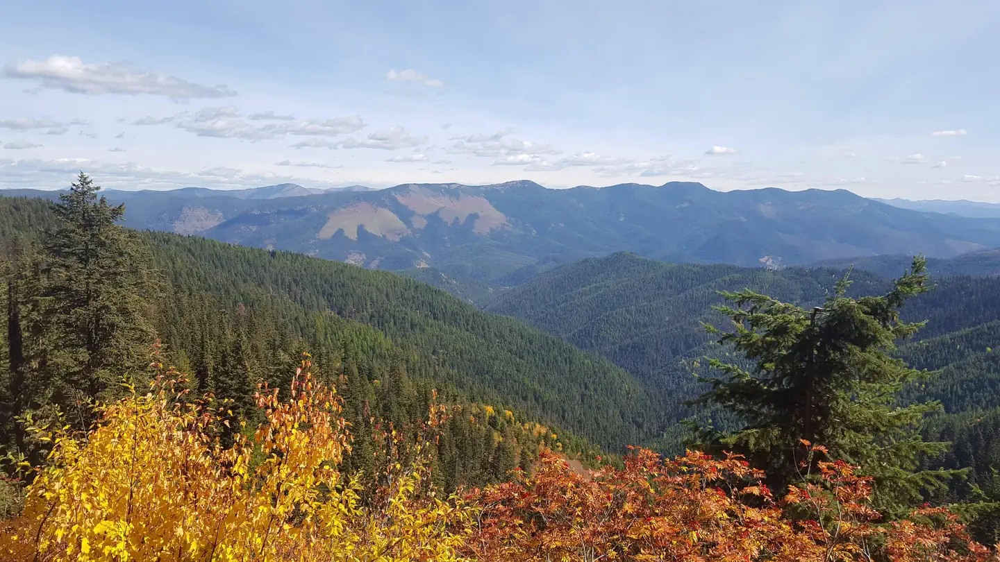
Overview Spyglass Lookout Ground House is located on Spyglass Peak, in the heart of the Coeur d'Alene River Ranger District, Idaho Panhandle National Forests. It's approximately 2.5 miles east and slightly south, as the crow flies, of the Magee Historic Site. The Spyglass Lookout site is listed on the National Historic Lookout Register. It was first used as a patrol point in 1911 and by the 1920s supported a tower and housing for forest fire lookouts. It was an operational lookout until the mid- to late 60s and then abandoned in the 1970s. Current structures on the site include a 53-foot tower support structure (the hipped roof L-4 cab having been removed in 2014), a 1930s gable roofed ground house used as a residence for lookouts when the site was operational, and a 1930s Civilian Conservation Corps (CCC) constructed outhouse. Extensive restoration of the ground house for use as a recreation rental cabin began in 2012 and was completed in 2019. Recreation The cabin provides access to several non-motorized hiking trails and a popular fishing stream for day excursions in the surrounding area. The trailhead for Fearn Creek (Trail #407) is about 1 1/2 miles from the cabin and the upper trailhead for Halsey Creek (Trail #451) is about 2 miles from the site. Within 8-10 miles of the cabin are trailheads for Boundary Peak (Trail #325), the lower end of Halsey Creek Trail, and the lower end of Little Elk Creek (Trail #32). Also within this range is Tepee Creek, a favorite fly fishing stream with a westslope cutthroat trout fishery. Slightly further, but still within range of a day outing is Independence Creek National Recreation Trail (Trail #22). This trail offers opportunities for hiking, mountain biking, horseback riding, and motorcycle riding. Facilities The ground house measures 14 x 14 feet and offers a dry cabin camping experience for 4 guests; there is no water or electricity. There are two new single mattresses and one bedframe to provide sleeping accommodations for two, with one mattress on the floor. Additional guests may need to provide their own sleeping pads or cots. There are kitchen table and chairs, a Jotul woodstove, wood box, and storage cabinet with basic dishes and eating utensils. There is no refrigerator or cooking stove. Outside the cabin is a picnic table and fire pit. The outdoor pit toilet is located about 150 feet from the cabin and is supplied with biodegradable toilet paper. Visitors should bring plenty of water for drinking and washing up, sleeping bags, matches or lighter, newspaper, garbage bags, flashlight, an ice chest for food storage, battery or propane lanterns, a propane cook stove, dish soap, towels and wash cloth, toiletries, insect repellent, first aid kit, extra toilet paper (just in case), and warm clothes. Natural Features Spyglass Peak is situated at 5,190 feet in elevation and is surrounded by the Coeur d' Alene Mountains. From vantage points near the cabin, vistas of ridgetops, forested slopes, and drainages of the North Fork Coeur d'Alene River and tibutaries extend as far as the eye can see. Wildlife in the area include moose, elk, whitetail deer, mule deer, wolf, black bear, mountain lion, fisher, ground squirrels, grouse, and goshawks, as well as other birds and many small mammals. Nearby Attractions Fishing streams, non-motorized hiking trails, motorcycle trail, Magee Historic Site
From the USFS.
Is Spyglass Ground House free?
No. Spyglass Ground House charges a fee. It is managed by the USFS.
How do I get to Spyglass Ground House?
Spyglass Ground House is at 47.8421, -116.1970. We do not hold written directions for this one, so navigate to the coordinates.
Nearby
- MAGEE RANGERS CABIN2.6 mi
- Big Hank Campground4.6 mi
- BIG HANK4.8 mi
- Devils Elbow Campground9.1 mi
- LITTLE GUARD LOOKOUT9.1 mi
- DEVILS ELBOW9.9 mi
- BERLIN FLATS9.9 mi
- KIT PRICE11.3 mi
No other services within 50 mi on the record.
SourceData from the USFS. Last synced September 19, 2026. Community reports and photos are submitted by travelers and are not verified by the agency.
