
KIT PRICE
USFS · Campground · Fee
Fast facts
- Cost
- Fee charged
- Managed by
- USFS
- Type
- Campground
- Reservations
- recreation.gov
- Phone
- 435-245-6521
- Coordinates
- 47.7408, -116.0056
- Last verified
- September 19, 2026
About this place
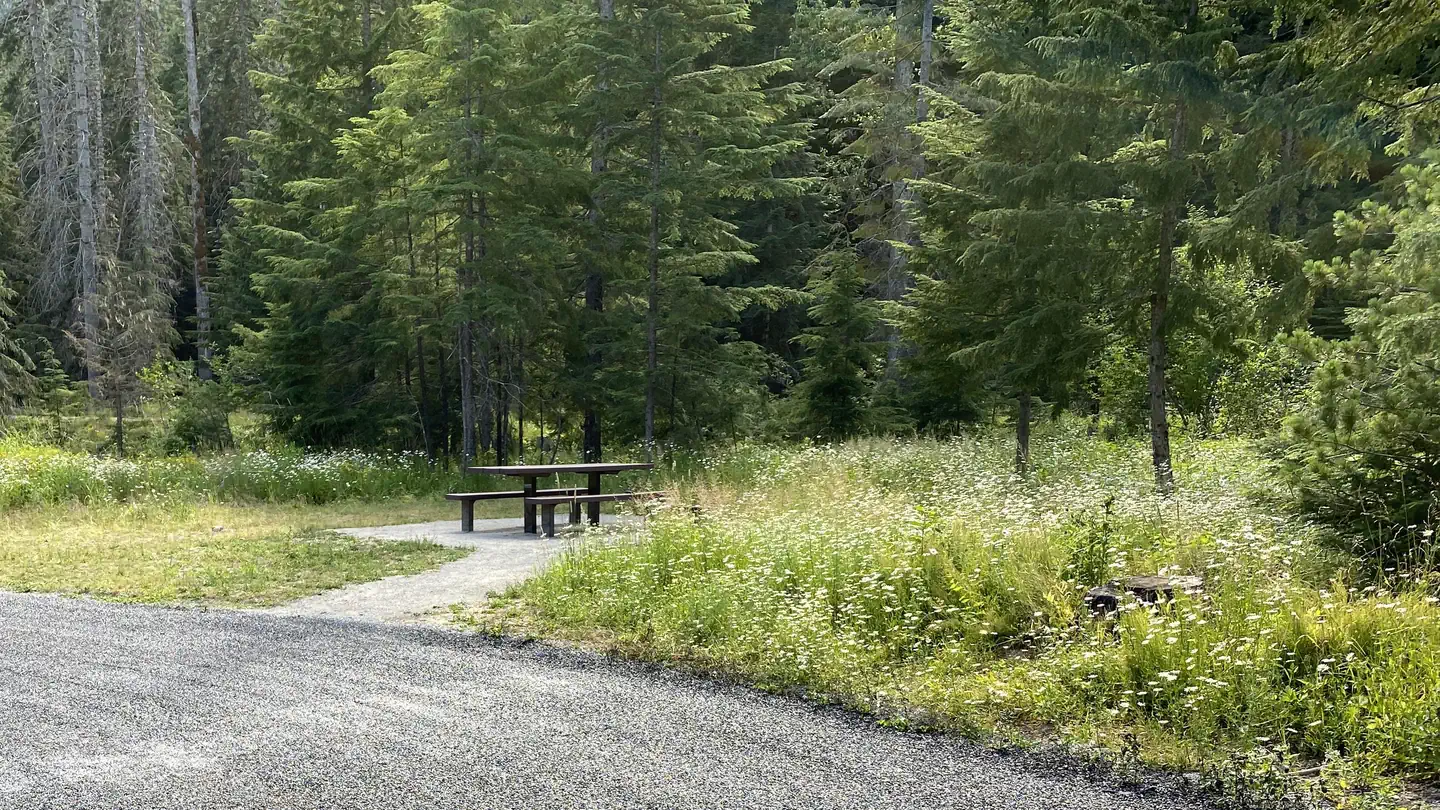
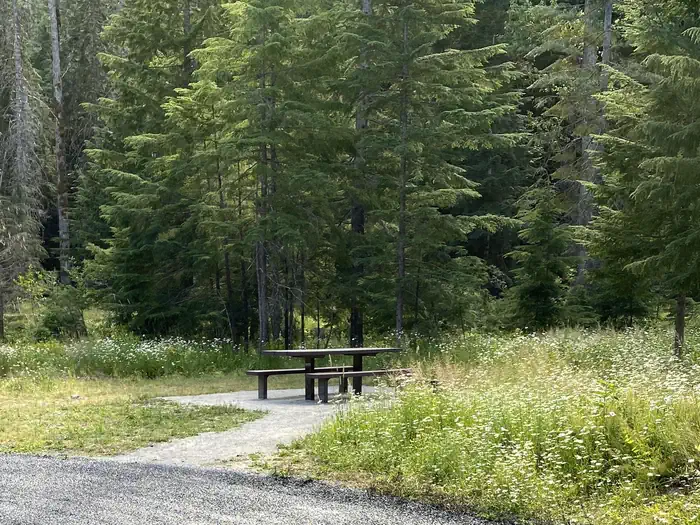
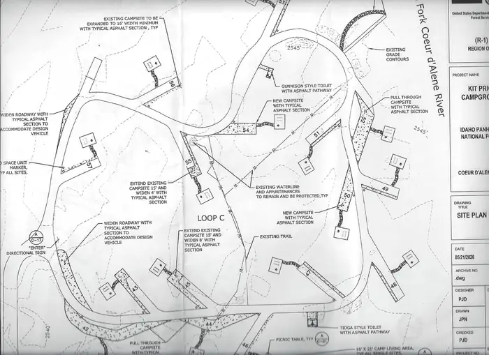
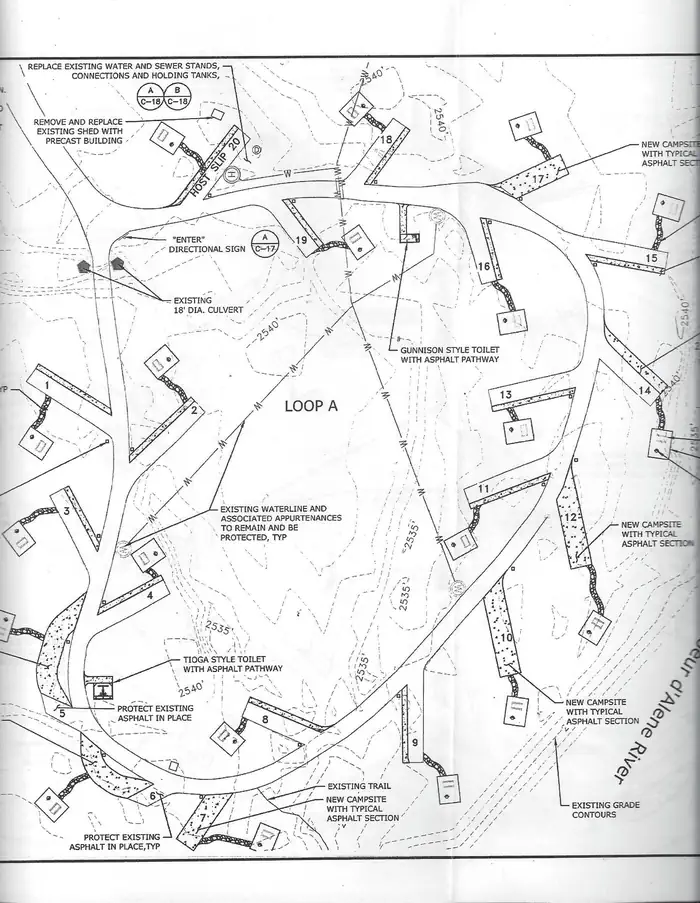
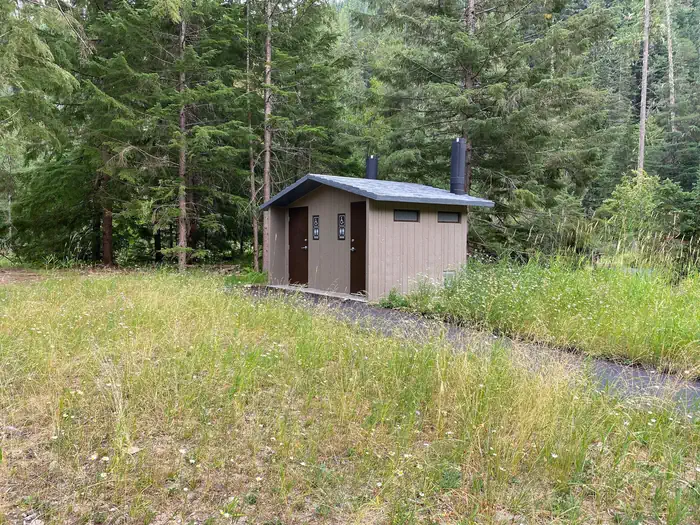
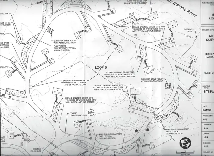
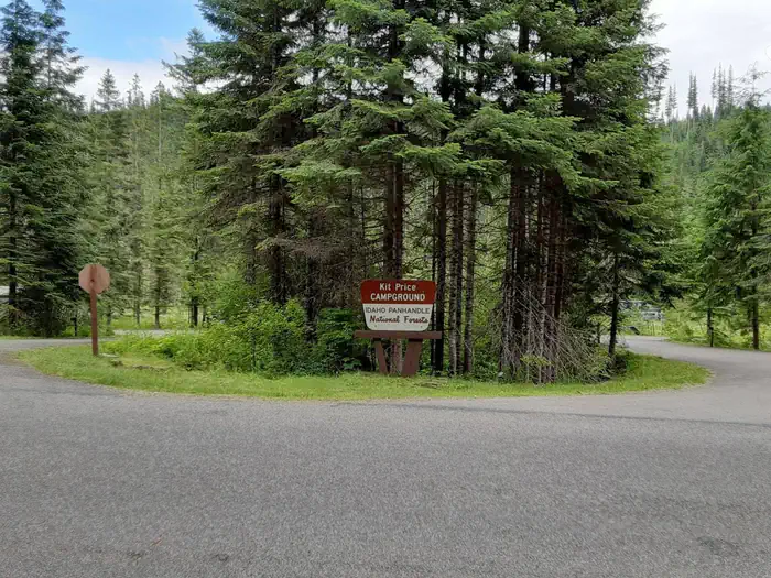
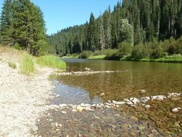
Overview Kit Price is a beautiful campground overlooking the North Fork Coeur d'Alene River. Campers enjoy the benefits of the river by fishing along the banks, swimming and floating. Hiking is also a great way to see mountain views. “Past visitors may notice a change in the appearance and openness in the park due recent removal of dead and diseased trees. This was done to improve safety for visitors and to improve forest health. New tree plantings are currently being planned to replace some of those lost and to increase the natural appearance of the campground for years to come. Please visit our website for additional information.” Recreation Tubing, swimming and kayaking on the North Fork Coeur d'Alene River are popular summertime activities. Rafters like to head downstream for the class I-III rapids. Catch and release fishing for cutthroat trout is also popular. Facilities Amenities include picnic tables, grills, paved parking spurs, accessible vault toilets and drinking water. Kit Price does not have electric hookups. Natural Features The campground is situated along the North Fork Coeur d'Alene River at an elevation of 2,550 feet. Campsites are in a meadow like setting, in full to partial sun, in the river bottom of the Coeur d'Alene Mountains. Popular Coeur d'Alene Lake is about 65 miles west of Kit Price. Wildlife in the region includes mule deer, moose, osprey and calliope hummingbirds.
From the USFS.Official page
Is KIT PRICE free?
No. KIT PRICE charges a fee. It is managed by the USFS. Sites are reservable through recreation.gov.
How do I get to KIT PRICE?
From Coeur dAlene, drive 28 miles east on Interstate 90, then 26 miles north (Kingston exit) on paved Forest Road #9, then 11 miles north from Prichard on paved Forest Road 208.
Nearby
- DEVILS ELBOW1.8 mi
- BERLIN FLATS1.8 mi
- Devils Elbow Campground2.5 mi
- LITTLE GUARD LOOKOUT4.3 mi
- Berlin Flats Group Campground4.4 mi
- AVERY CREEK CABIN5.2 mi
- BIG HANK7.1 mi
- Big Hank Campground7.3 mi
No other services within 50 mi on the record.
SourceData from the USFS. Last synced September 19, 2026. Community reports and photos are submitted by travelers and are not verified by the agency.
