
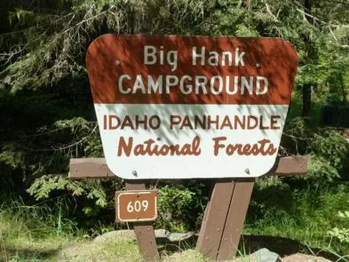
BIG HANK
Campground · Fee not listed
Fast facts
- Cost
- Not listed. Check locally.
- Type
- Campground
- Phone
- 435-245-6521
- Coordinates
- 47.8225, -116.0978
- Last verified
- September 19, 2026
About this place
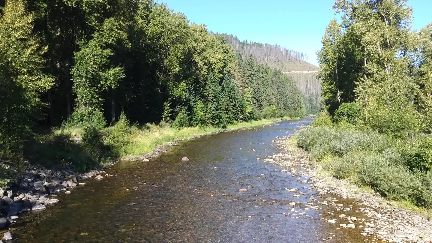
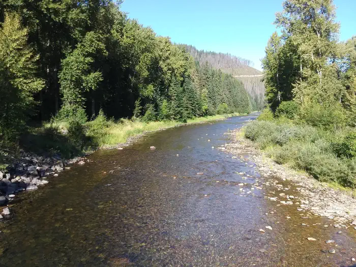
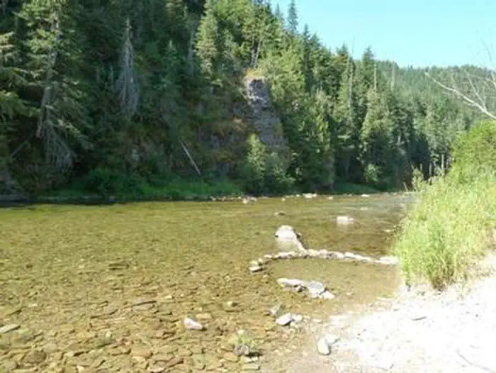
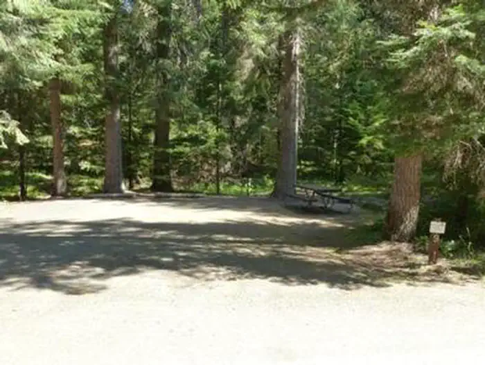
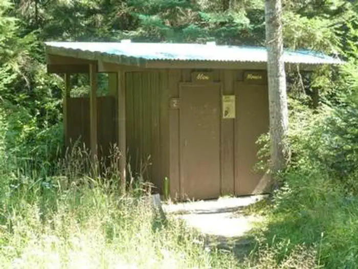
Overview Big Hank Campground is located along the North Fork of the Coeur d'Alene River in Idaho Panhandle National Forest. Shore fishing is a large draw, along with local hiking and biking trails. The campground also provides an excellent base camp for hunters during season. Wildlife like mule deer, moose, osprey and calliope hummingbirds are often spotted. Recreation Tubing on the river is a popular summertime activity, as is cutthroat fishing. Whitewater rafting enthusiasts enjoy the class I-III rapids down the river. Hiking, biking and horseback riding trails are a short drive away. Highlights include trails to Centennial Falls, Shadow Falls and Settler's Grove of Ancient Cedars. Facilities Big Hank Campground offers about 30 spacious campsites for tent camping. Drinking water from hand pumps, vault toilets, picnic tables and established fire rings are among the conveniences offered. Roads and campsite parking spurs are paved. Natural Features Big Hank is in a heavily wooded area on the banks of the Couer D' Alene River and Big Hank Creek. At 2,800 feet elevation, the campground sits on the Big Hank Meadow.
From the managing agency.
Is BIG HANK free?
We do not have a fee on record for BIG HANK. Confirm the cost locally before you go.
How do I get to BIG HANK?
BIG HANK is at 47.8225, -116.0978. We do not hold written directions for this one, so navigate to the coordinates.
Nearby
- Big Hank Campground0.2 mi
- LITTLE GUARD LOOKOUT4.3 mi
- Devils Elbow Campground4.6 mi
- Spyglass Ground House4.8 mi
- DEVILS ELBOW5.4 mi
- BERLIN FLATS5.4 mi
- Berlin Flats Group Campground7.1 mi
- KIT PRICE7.1 mi
No other services within 50 mi on the record.
SourceSource data is agency published. Last synced September 19, 2026. Community reports and photos are submitted by travelers and are not verified by the agency.
