
MOKINS BAY CAMPGROUND
USFS · Campground · Fee
Fast facts
- Cost
- Fee charged
- Managed by
- USFS
- Type
- Campground
- Hours
- Open 24 hours/day
- Reservations
- recreation.gov
- Phone
- 435-245-6521
- Coordinates
- 47.7844, -116.6656
- Last verified
- September 19, 2026
About this place
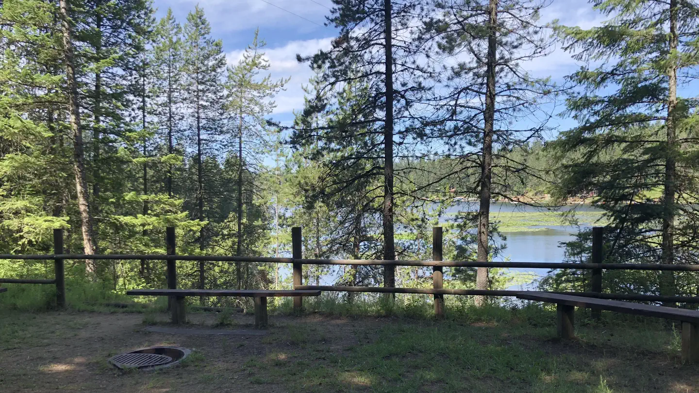
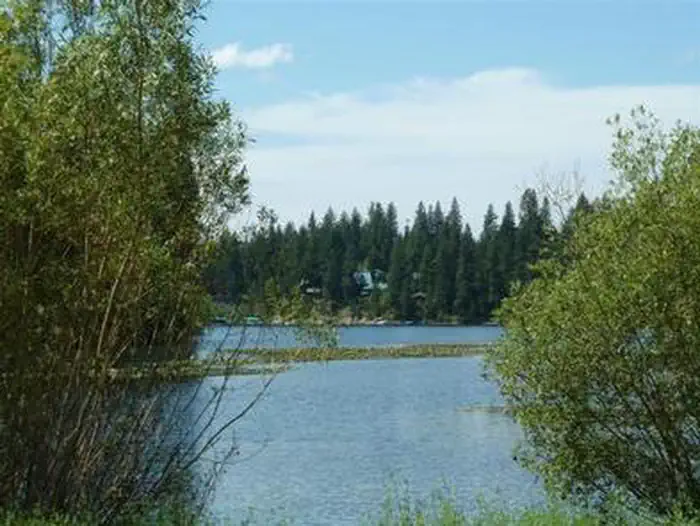
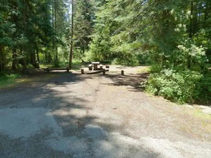
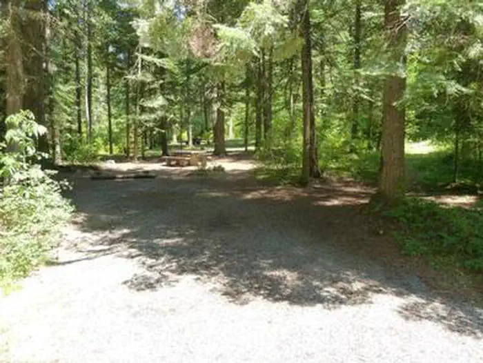
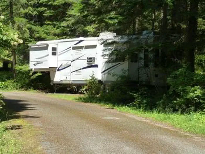
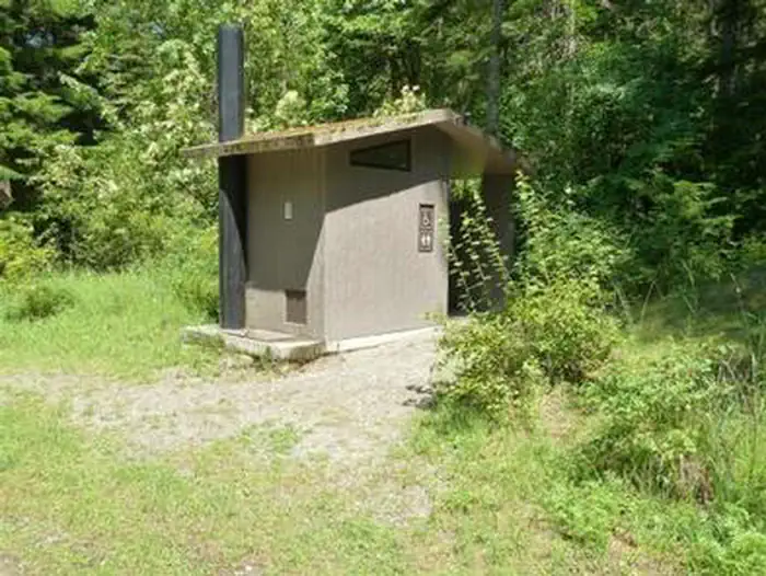
Overview Mokins Bay Campground is located near the eastern shore of Hayden Lake in northwest Idaho. Its picturesque setting in the northwest portion of the Bitterroot Mountain range, known as the Coeur d'Alene mountains, creates solitude in a forested setting at this campground. The lake is a 10 minute walk from the campground. Recreation Fishing is popular in the surrounding lakes and streams, and cutthroat trout and large and small-mouth bass are the most common catches. Power boating and other water sports are also popular activities. Facilities Drinking water, grills, paved parking spurs and vault toilets are among the amenities at Mokins. A horseshoe pit is also onsite. Access to campground is on a gravel road. Natural Features The small campground is surrounded by a heavy canopy of pines. Wildflowers like trillium and buttercups thrive in the springtime, creating a stunning backdrop for campers. Hayden Lake boasts a 40-mile shoreline with a surface area of 3,800 acres. The lake was formed by the Missoula Floods that occurred nearly 15,000 years ago, at the end of the last ice age. Nearby Attractions The town of Coeur d'Alene, Idaho is 21 miles away, and offers several tourist attractions, as well as restaurants, gas and groceries.
From the USFS.Official page
Is MOKINS BAY CAMPGROUND free?
No. MOKINS BAY CAMPGROUND charges a fee. It is managed by the USFS. Sites are reservable through recreation.gov.
How do I get to MOKINS BAY CAMPGROUND?
GPS Info.(Latitude, Longitude):47.78444,-116.6655647474N,1163956WFrom Coeur d'Alene, Idaho, take Route 95 north for 6.1 miles to Lancaster Road. Turn right and continue 6.3 miles to a Y intersection. Bear right and continue to Mokins Road, turn left go 0.1 mile to campground entrance.
Nearby
- Honeysuckle Campground9.4 mi
- BEAUTY CREEK CAMPGROUND12.3 mi
- Popcorn Island18.5 mi
- MAGEE RANGERS CABIN19.7 mi
- BUMBLEBEE CAMPGROUND20.8 mi
- Whiskey Rock Bay Campground20.9 mi
- Spyglass Ground House22.2 mi
- BELL BAY CAMPGROUND22.8 mi
No other services within 50 mi on the record.
SourceData from the USFS. Last synced September 19, 2026. Community reports and photos are submitted by travelers and are not verified by the agency.
