
BELL BAY CAMPGROUND
USFS · Campground · Fee
Fast facts
- Cost
- Fee charged
- Managed by
- USFS
- Type
- Campground
- Reservations
- recreation.gov
- Phone
- 435-245-6521
- Coordinates
- 47.4764, -116.8414
- Last verified
- September 19, 2026



About this place
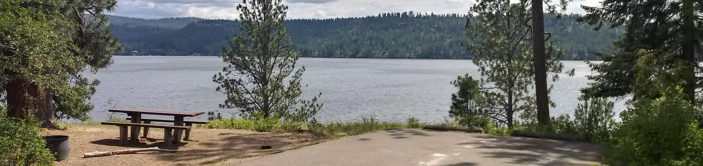
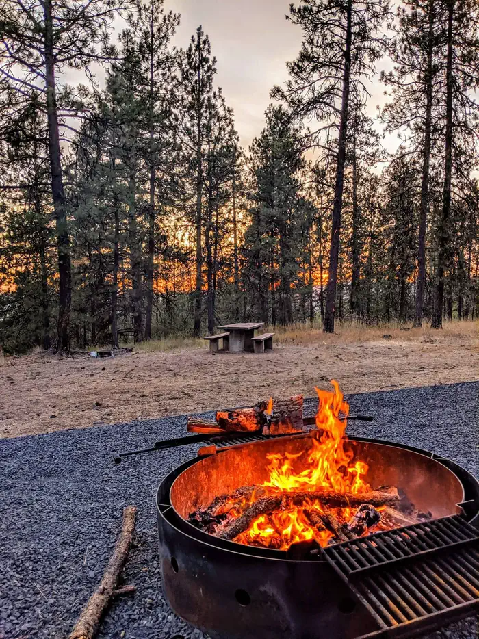
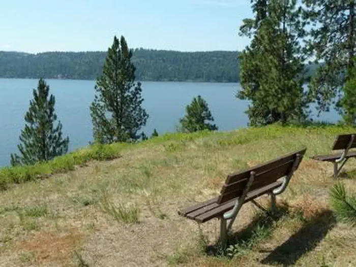
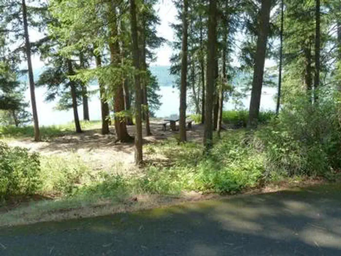
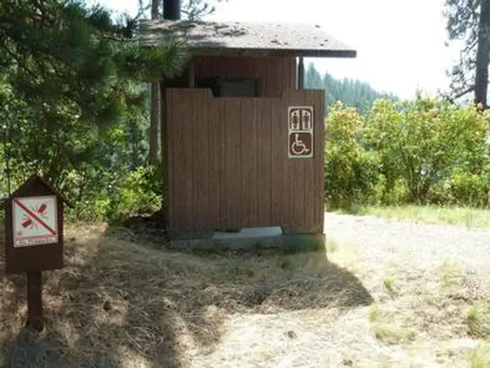
Overview Bell Bay Campground is a prime place to set up camp on Coeur d'Alene Lake. The upper camp loop is on a hill overlooking the beautiful lake, while the lower loop sits on a short ridge along the shoreline. Recreation Hikers enjoy the Bell Bay Trail, a foot path that runs for a mile around the lake shore. The lake beach offers plenty of opportunities for fishing, swimming, power boating and canoeing. Anglers enjoy the abundance of trout, salmon and panfish in the vast lake. Facilities Bell Bay campground offers six reservable single family sites and several other sites that are available on a first-come, first-serve basis. There is also a large group campground on the upper loop that can accommodate up to 60 guests. Drinking water, vault toilets and campfire rings are provided. The lower loop has two docks where boats can be moored. The walk from the docks is fairly steep but short. Natural Features Located in the Panhandle of northern Idaho, the campground is surrounded by a forest of Ponderosa and other mixed pines. It lies on the southeast shores of Coeur d'Alene Lake just north of Harrison, Idaho. The lake spans 50 square miles, offering countless recreation opportunities and scenic views for visitors. Nearby Attractions The town of Coeur d'Alene, Idaho, on the northern side of the lake, is a popular destination. About an hour away, the area offers paddle boat rentals, ferry rides, sea plane rides and more.
From the USFS.Official page
Is BELL BAY CAMPGROUND free?
No. BELL BAY CAMPGROUND charges a fee. It is managed by the USFS. Sites are reservable through recreation.gov.
How do I get to BELL BAY CAMPGROUND?
GPS Info.(Latitude, Longitude):47.47639,-116.84139472835N,1165029WFrom Pinehurst, Idaho, take Interstate 90 west and turn south on Highway 3. Make a right on Highway 97 and continue north for 13 miles. Turn west onto Road 314 (also known as East Point Road) and continue 3 miles to campground.
Nearby
- BEAUTY CREEK CAMPGROUND12.1 mi
- Popcorn Island13.2 mi
- Sheep Springs21.5 mi
- Tingley Springs21.7 mi
- MOKINS BAY CAMPGROUND22.8 mi
- Shadowy St. Joe Campground23.5 mi
- Honeysuckle Campground25.0 mi
- BUMBLEBEE CAMPGROUND28.4 mi
No other services within 50 mi on the record.
SourceData from the USFS. Last synced September 19, 2026. Community reports and photos are submitted by travelers and are not verified by the agency.
