
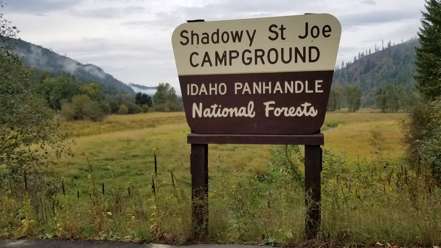
Shadowy St. Joe Campground
USFS · Campground · Fee
Fast facts
- Cost
- Fee charged
- Managed by
- USFS
- Type
- Campground
- Hours
- Open 24 hours/day
- Reservations
- fs.usda.gov
- Phone
- 208-245-2531
- Nearest dump station
- Cedar Flats Dump Station · 94.4 mi
- Coordinates
- 47.3257, -116.3933
- Last verified
- September 19, 2026
About this place
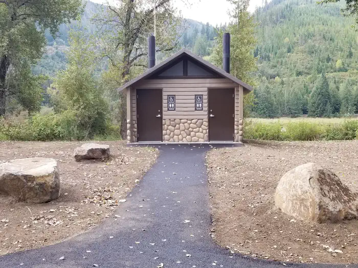
Overview The Shadowy St. Joe Campground (CG) is located 10.6 miles from St. Maries Idaho up the St. Joe River on Forest Highway 50. It is at 2100 feet elevation and on a slack water section of the river. The campground includes convenient paved roadways and camping spurs, 13 camping units and one host site. During peak season, 7 sites will be available for reservations. Recreation The docks and boat ramp at Shadowy St. Joe CG allows for river access, fishing and swimming. Motorized boats can continue up the river to St. Joe City. The grassy landscape allows for relaxation in a peaceful setting. Facilities Day and overnight use. 14 fully accessible campsites with electrical hookups, picnic tables, fire rings, and vault toilets. Refuse receptacle provided, ample parking, convenient trailer space, potable piped water, boat launch, and a group picnic shelter. The day use picnic shelter has tables that can seat up to 40 people. The campground is 10.6 miles from a full service community of St. Maries (population 3000) where a hospital, gas, food and services can be found. Natural Features Camp sites are located in open, grassy areas with some fruit and ornamental shade trees. There is no beach but there are docks and a boat launch providing access to the river. The surrounding areas include private lands with open grassy areas. Herds of elk are often seen along the lower sections of the river. Nearby Attractions The St. Joe River is well known as a fishing destination. Thirty miles further up the river is the town of Avery where the St. Joe River becomes a designated Wild and Scenic River. The gateway town of Avery Idaho has a renovated railroad depot with a museum, post office and a railroad car from the historic Route of the Hiawatha, small store with gas and fast food, a restaurant with pizza, chicken and beer, a fly fisherman shop with fishing supplies, souvenirs, deli sandwiches and ice cream. The upper river provides white water rafting in the spring and the lower river provides rafting, drift boating, canoeing and inner tubing. At times in the spring, mountain goats can be seen along the river upriver from Avery.
From the USFS.
Is Shadowy St. Joe Campground free?
No. Shadowy St. Joe Campground charges a fee. It is managed by the USFS. Sites are reservable through fs.usda.gov.
How do I get to Shadowy St. Joe Campground?
10 miles east of St. Marie's, Idaho on St. Joe River Road.
Nearby
SourceData from the USFS. Last synced September 19, 2026. Community reports and photos are submitted by travelers and are not verified by the agency.
