
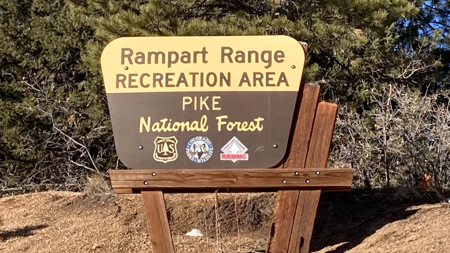
Rampart Range Recreation Area Designated Dispersed Camping
Campground · Dispersed · Fee not listed
Fast facts
- Cost
- Not listed. Check locally.
- Type
- Campground
- Phone
- 303-275-5610
- Nearest dump station
- Rocky Mountain National Park Dump Station · 73.0 mi
- Coordinates
- 39.3772, -105.0941
- Last verified
- September 19, 2026
About this place
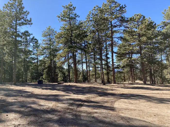
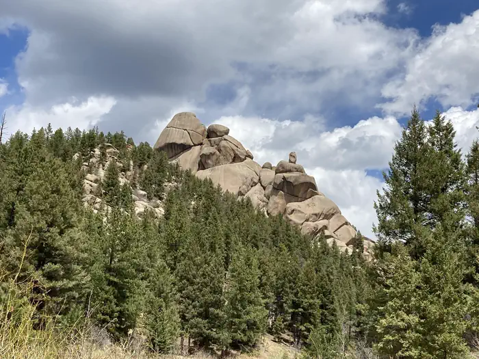
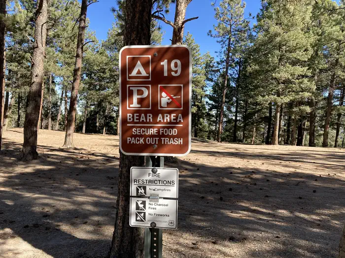
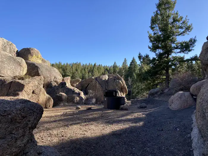
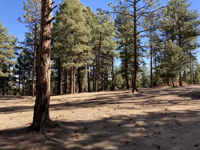
Overview The Rampart Range Recreation Area's Designated Dispersed Camping is operated by ExplorUS LLC. Camping is only allowed in numbered campsites and requires a fee. Trailhead parking within the Rampart Range Recreation Area is free. The Rampart Range Recreation Area is known for its motorized trail system (OHV's less than 50 inches in width), Devils Head Fire Lookout Tower, and climbing areas. Access to over 300 miles of motorized trails in this area, in addition to the motorized trails on the adjacent Pikes Peak Ranger District. Please use the Motor Vehicle Use Map (MVUM) for the South Platte Ranger District to determine your OHV route(s). All motorized vehicles must be registered with the State of Colorado and have a Forest Service approved spark arrestor. Recreation Rampart Range Recreation Area is known for its motorized trail system, Devils Head Fire Lookout Tower, and climbing areas. Access to over 300 miles of trails in this area, in addition to the motorized trails on the adjacent Pikes Peak Ranger District. Hiking trail to the meadow below the Devils Head Fire Lookout Tower. Facilities No water is available in this area. Please bring water from home. There are vault toilets at most trailheads and port-a-potties in the area. Trash is "Pack in - Pack out"...please take your trash home with you. Natural Features The Rampart Range Recreation Area is home to the Devils Head Lookout Tower. The tower is staffed by a U.S. Forest Service fire lookout personnel. Contact Info For facility specific information, please call (303) 647-2366. Nearby Attractions Motorized trail system, Devils Head Fire Lookout Tower, and climbing areas. Charges & Cancellations Cancellations Individual Campsites: Cancellations up to 2 days before a reservation start date incur a $10.00 cancellation fee. A visitor who cancels a reservation the day before or on the day of arrival will pay a $10.00 service fee AND forfeit the first night's use fee including tax and applicable add-on for a campsite. Cancellations for a one-night reservation will forfeit the entire amount paid and will not be subject to an additional service fee. Group Sites Group Facility (including Cabins and Lookouts): A visitor who cancels a group overnight facility reservation less than 14 days before the arrival date will pay a $10.00 service fee AND forfeit the first night's use fee. No-Shows A no-show visitor is one who does not arrive at a campground and does not cancel the reservation by check-out time on the day after the scheduled arrival date. Staff will hold a campsite until check-out time on the day following the arrival date. No-shows are assessed $20.00 service fee and forfeit the first night's rate, taxes and applicable add-on for a campsite. Refunds Visitors may submit a refund request through their Recreation.gov profile within 7 days of the end date of their reservation. Refunds will not be issued after the 7 days has ended. Refunds for debit or credit card payments will be issued as a credit to the original bank or credit card used to pay. For check or cash purchases, Recreation.gov will mail a Treasury check for refunds of cash, check, or money order payments to the address associated with the reservation. Treasury check refunds may take up to 6-8 weeks to arrive. In the event of an emergency closure, the Recreation.gov team or facility manager will refund all fees and will attempt to notify you using the contact information within the Recreation.gov visitor profile.
From the managing agency.
Is this site free?
We do not have a fee on record for this site. Confirm the cost locally before you go.
How do I get to this site?
this site is at 39.3772, -105.0941. We do not hold written directions for this one, so navigate to the coordinates.
Nearby
SourceSource data is agency published. Last synced September 19, 2026. Community reports and photos are submitted by travelers and are not verified by the agency.
