
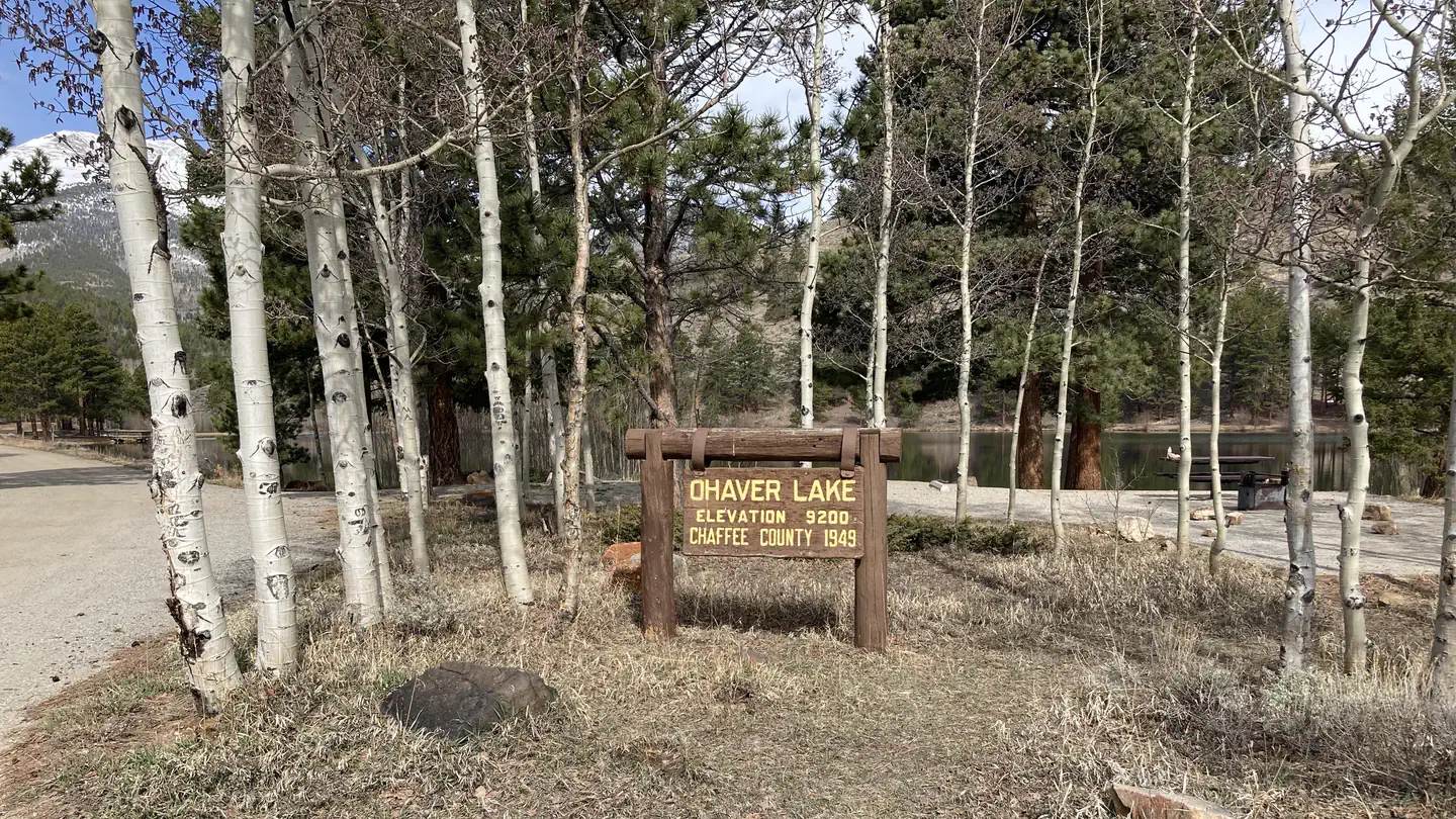
OHAVER LAKE
Campground · Fee not listed
Fast facts
- Cost
- Not listed. Check locally.
- Type
- Campground
- Phone
- CAMPGROUNDS DO NOT HAVE PHONE SERVICE, CALLING TO CHECK AVAILABILITY PRIOR TO ARRIVAL IS NOT POSSIBLE. FOR RESERVATIONS CALL: 1-877-444-6777
- Nearest dump station
- Taylor Lagoons Dump Station · 32.7 mi
- Coordinates
- 38.4278, -106.1431
- Last verified
- September 19, 2026
About this place
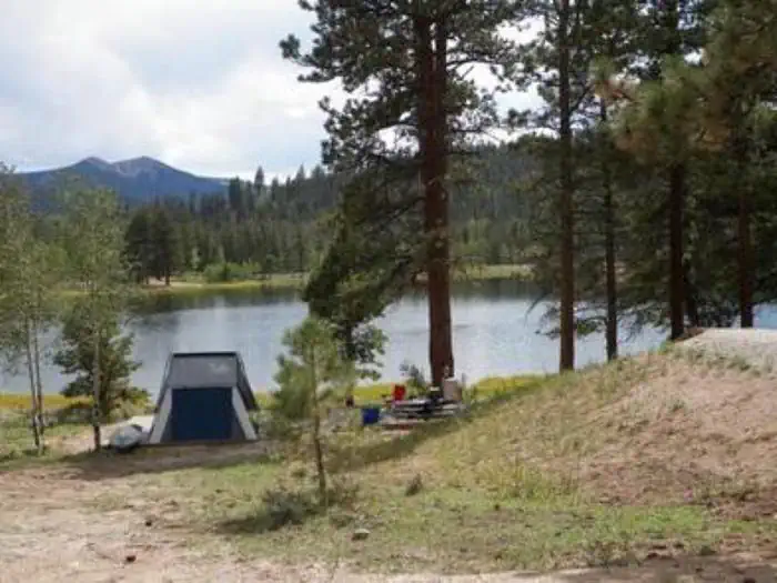
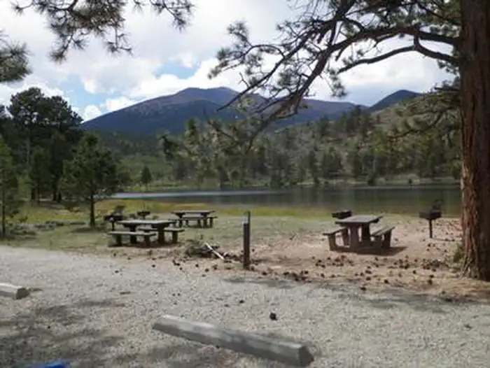
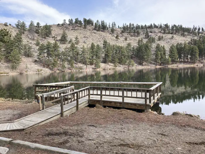
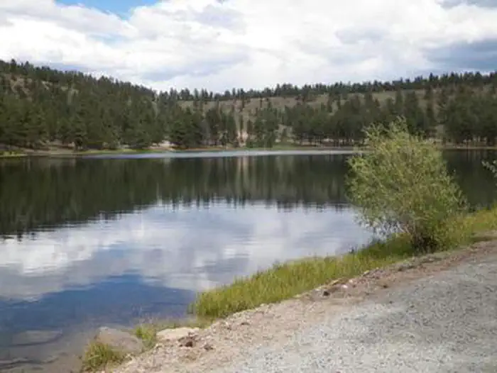
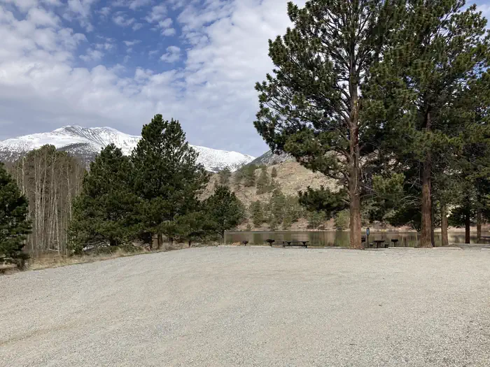
Overview The Forest Service wants your opinion on reserving sites at O’Haver Lake Campground. Please take a moment to fill out a brief survey at: https://forms.office.com/g/zFknf0tZbS O'Haver Lake Campground sits at an elevation of 9,200 feet, with ponderosa pines and aspen. It is located on the shores of O'Haver Lake. This facility has 31 sites and is a very popular destination that is often full on the weekends. "First come, first served" does not necessarily mean that the site will be available when you get there. Someone may get there before you. This is a popular campground and is normally full starting on Friday, sometimes as early as Thursday, so plan accordingly. Recreation There is an accessible fishing pier and non-motorized watercraft can be used to seek rainbow and brook trout on O'Haver Lake. If using non-motorized watercraft please be courteous to those who are fishing. Facilities Vault toilets and trash collection and campground host are provided. Firewood is sold on site. Sites #1-5, 7 ,13,21,23 and 24 are first-come, first-served, "Walk-up" sites. All other sites are reservable. Site #6 is used by the host from mid-May through September. After that time it is available as a "walk-up", first-come, first-served site. Natural Features This area attracts many campers for fishing, bird watching and canoeing on the calm, pleasant lake. Ponderosa pines provide a fresh vanilla scent in the mountain air and aspens please visitors with golden foliage displays in autumn. Contact Info For facility specific information, please call (661) 702-1420. Nearby Attractions The historic Denver and Rio Grande railroad grade traveled from Salida, southwest to the summit of Marshall Pass. The grade travels along County Road 200 above O'Haver Lake. This is a very popular mountain biking route with cyclists traveling from Monarch Pass to Marshall Pass on the Crest trail and then traveling down the railroad grade into Poncha Springs. Silver Creek, Starvation Creek, Poncha Creek and the Rainbow Trail are also nearby trails. Shirley Site is located off of Highway 285 and County Road 200 just below Poncha Pass. Shirley got its name during the 1880's when it served as a busy construction camp for men building the Denver and Rio Grande rail line over Marshall Pass to the ore-rich mines in Gunnison. By summer of 1881, Shirley boasted 14 large business tents, most of which were saloons and dance halls. Little remains of the town of Shirley except the coal stained railbed that can be seen just north of the Shirley site parking area. Shirley Site is a popular staging area for OHV riders and mountain bikers during the summer months and snowmobilers during winter. Charges & Cancellations Cancellations Individual Campsites: Cancellations up to 2 days before a reservation start date incur a $10.00 cancellation fee. A visitor who cancels a reservation the day before or on the day of arrival will pay a $10.00 service fee AND forfeit the first night's use fee including tax and applicable add-on for a campsite. Cancellations for a one-night reservation will forfeit the entire amount paid and will not be subject to an additional service fee. No-Shows A no-show visitor is one who does not arrive at a campground and does not cancel the reservation by check-out time on the day after the scheduled arrival date. Staff will hold a campsite until check-out time on the day following the arrival date. No-shows are assessed $20.00 service fee and forfeit the first night's rate, taxes and applicable add-on for a campsite. Refunds Visitors may submit a refund request through their Recreation.gov profile within 7 days of the end date of their reservation. Refunds will not be issued after the 7 days has ended. Refunds for debit or credit card payments will be issued as a credit to the original bank or credit card used to pay. For check or cash purchases, Recreation.gov will mail a Treasury check for refunds of cash, check, or money order payments to the address associated with the reservation. Treasury check refunds may take up to 6-8 weeks to arrive. In the event of an emergency closure, the Recreation.gov team or facility manager will refund all fees and will attempt to notify you using the contact information within the Recreation.gov visitor profile.
From the managing agency.
Is OHAVER LAKE free?
We do not have a fee on record for OHAVER LAKE. Confirm the cost locally before you go.
How do I get to OHAVER LAKE?
OHAVER LAKE is at 38.4278, -106.1431. We do not hold written directions for this one, so navigate to the coordinates.
Nearby
SourceSource data is agency published. Last synced September 19, 2026. Community reports and photos are submitted by travelers and are not verified by the agency.
