
MONARCH PARK
Campground · Fee not listed
Fast facts
- Cost
- Not listed. Check locally.
- Type
- Campground
- Phone
- CAMPGROUNDS DO NOT HAVE PHONE SERVICE, CALLING TO CHECK AVAILABILITY PRIOR TO ARRIVAL IS NOT POSSIBLE. FOR RESERVATIONS CALL: 1-877-444-6777
- Nearest dump station
- Taylor Lagoons Dump Station · 22.4 mi
- Coordinates
- 38.5156, -106.3242
- Last verified
- September 19, 2026
About this place
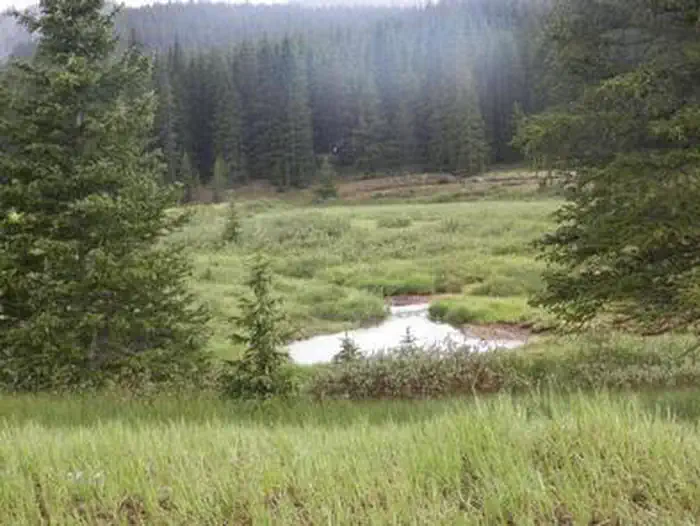
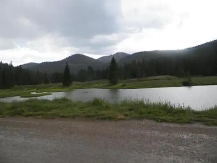
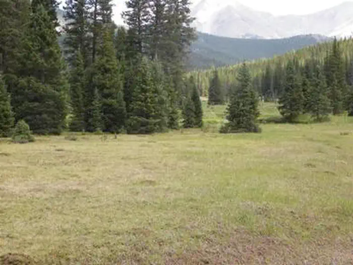
Overview After being closed the past couple of years for renovations, look for Monarch Park to reopen on Friday, August 21, 2026! Monarch Park is nestled at the base of Monarch Ridge, a short drive north of Monarch Pass on Highway 50. Some campsites at the family-friendly destination are located on the banks of the South Fork Arkansas River, while others lie along a creek. Popular activities in the area include hiking the Colorado/Continental DivideTrail and fishing. Beaver ponds near the entrance to the campground make a great fishing spot for families with young children. Monarch Pass is a high mountain pass along the southern part of Colorado's Sawatch Range. The pass crosses the Continental Divide at an altitude of 11,312 feet. Recreation Popular trails near Monarch Park include Waterdog Lakes, the Monarch Crest Trail and the Hunt and Boss Lakes trails. Wildflowers are abundant on these trails in late summer. The river and nearby ponds provide quality fishing for all ages. Brook trout is the most likely reward for fishing efforts. Facilities Vault toilets are available and one is wheelchair accessible. All sites come with picnic tables and campfire rings. No electrical or sewer hookups are available. The nearest RV dump station is at the Poncha Springs Visitor Center located at 7001 Highway 285 (near the intersection of US Highway 285 and US Highway 50) in Poncha Springs, CO. Natural Features The elevation is 10,500 feet, and visitors should plan for cool nighttime temperatures. Some campsites are located near the south fork of the Little Arkansas River. Nearby Attractions The city of Salida is only a short drive away where visitors can enjoy unique restaurants, shops, art galleries, and antique shops. The area boasts more than 100 miles of Arkansas River to raft, fish, float or kayak, as well as fifteen 14,000 ft. mountains. Visitors can choose from recreational activities like hiking, biking, ATV/UTV riding, kayaking, rafting, fishing, horseback riding, zip lining, and swimming. Contact Info For facility specific information, please call (661) 702-1420. Charges & Cancellations Cancellations Individual Campsites: Cancellations up to 2 days before a reservation start date incur a $10.00 cancellation fee. A visitor who cancels a reservation the day before or on the day of arrival will pay a $10.00 service fee AND forfeit the first night's use fee including tax and applicable add-on for a campsite. Cancellations for a one-night reservation will forfeit the entire amount paid and will not be subject to an additional service fee. No-Shows A no-show visitor is one who does not arrive at a campground and does not cancel the reservation by check-out time on the day after the scheduled arrival date. Staff will hold a campsite until check-out time on the day following the arrival date. No-shows are assessed $20.00 service fee and forfeit the first night's rate, taxes and applicable add-on for a campsite. Refunds Visitors may submit a refund request through their Recreation.gov profile within 7 days of the end date of their reservation. Refunds will not be issued after the 7 days has ended. Refunds for debit or credit card payments will be issued as a credit to the original bank or credit card used to pay. For check or cash purchases, Recreation.gov will mail a Treasury check for refunds of cash, check, or money order payments to the address associated with the reservation. Treasury check refunds may take up to 6-8 weeks to arrive. In the event of an emergency closure, the Recreation.gov team or facility manager will refund all fees and will attempt to notify you using the contact information within the Recreation.gov visitor profile.
From the managing agency.
Is MONARCH PARK free?
We do not have a fee on record for MONARCH PARK. Confirm the cost locally before you go.
How do I get to MONARCH PARK?
MONARCH PARK is at 38.5156, -106.3242. We do not hold written directions for this one, so navigate to the coordinates.
Nearby
SourceSource data is agency published. Last synced September 19, 2026. Community reports and photos are submitted by travelers and are not verified by the agency.
