
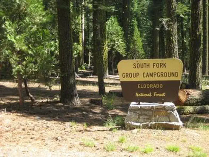
South Fork Group - Eldorado NF (CA)
Campground · Fee not listed
Fast facts
- Cost
- Not listed. Check locally.
- Type
- Campground
- Phone
- 530-644-2324
- Nearest dump station
- French Meadows Rv Dump Station · 12.4 mi
- Nearest water fill
- Indian Creek Camp Ground-Potable Water · 36.0 mi
- Coordinates
- 38.9483, -120.4021
- Last verified
- September 19, 2026
About this place
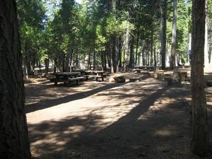
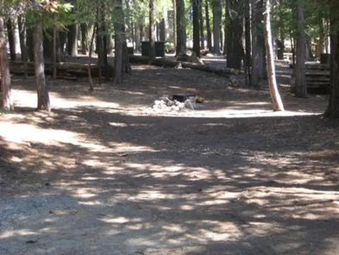
Overview South Fork is the largest group campground in the Crystal Basin Recreation Area, nestled in the vast expanse of the Eldorado National Forest. The remote location affords visitors a true outdoor camping experience. Recreation With the South Fork of the Rubicon River located within walking distance, the group camp provides excellent fishing, swimming and other water sports and activities. Facilities While the campground can be used as a single group site that can accommodate up to 125 guests, it can also be reserved as multiple single-family sites. A group cooking area with food preparation tables and double grills is available, as well as campfire rings with grills at each site. Vault toilets are provided, however, drinking water is not available at the campground. Visitors can boil stream water or fill up at nearby boat ramps. A parking area is also available. Natural Features Situated at an elevation of 5,200 feet, the campground sits between the Union Valley Reservoir and Loon Lake. It is also just minutes away from Gerle Creek Reservoir, a serene mountain lake where motorized boating is prohibited in order to preserve a peaceful and quiet atmosphere for visitors. Nearby Attractions Swimming and non-motorized boating are available at Gerle Creek Reservoir, 5 miles north of the campground.
From the managing agency.
Is this site free?
We do not have a fee on record for this site. Confirm the cost locally before you go.
How do I get to this site?
this site is at 38.9483, -120.4021. We do not hold written directions for this one, so navigate to the coordinates.
Nearby
SourceSource data is agency published. Last synced September 19, 2026. Community reports and photos are submitted by travelers and are not verified by the agency.
