
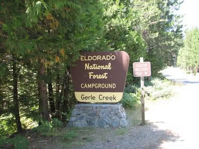
GERLE CREEK
Campground · Fee
Fast facts
- Cost
- Fee charged
- Type
- Campground
- Phone
- 831-245-6891
- Nearest dump station
- French Meadows Rv Dump Station · 10.5 mi
- Nearest water fill
- Indian Creek Camp Ground-Potable Water · 36.2 mi
- Coordinates
- 38.9750, -120.3917
- Last verified
- September 19, 2026
About this place
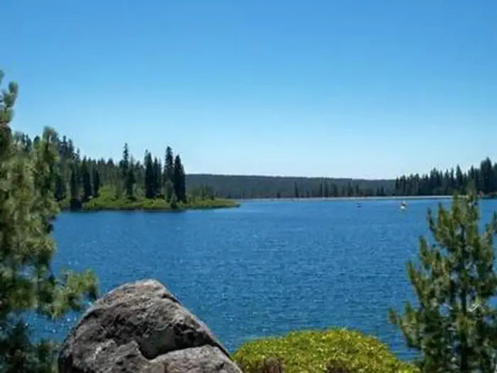
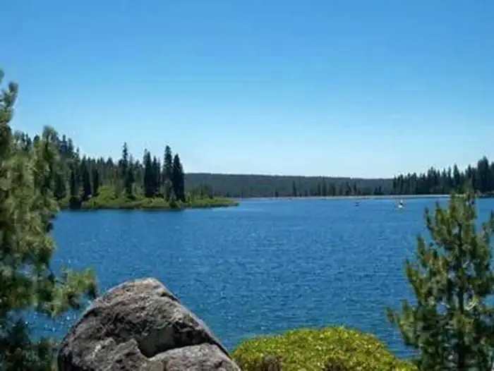
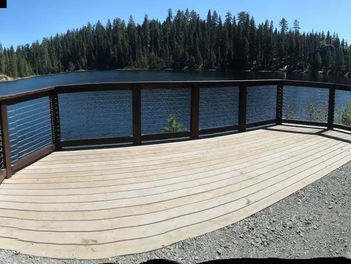
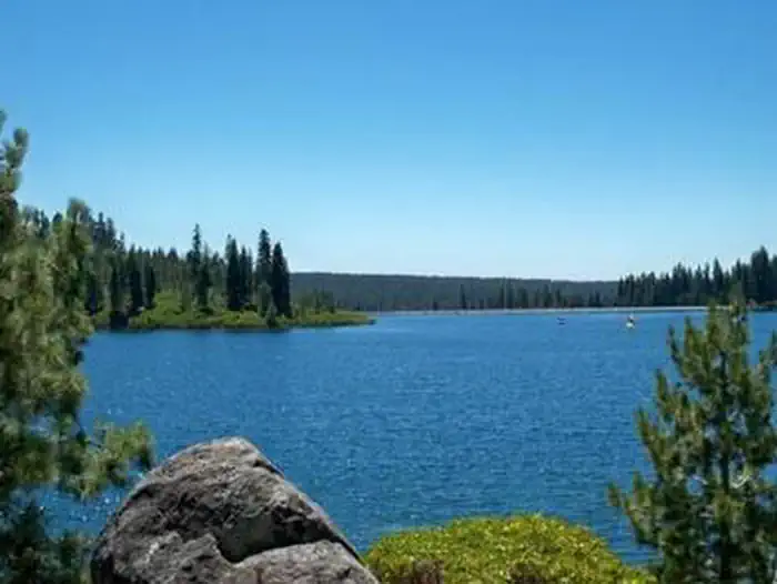
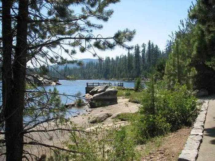
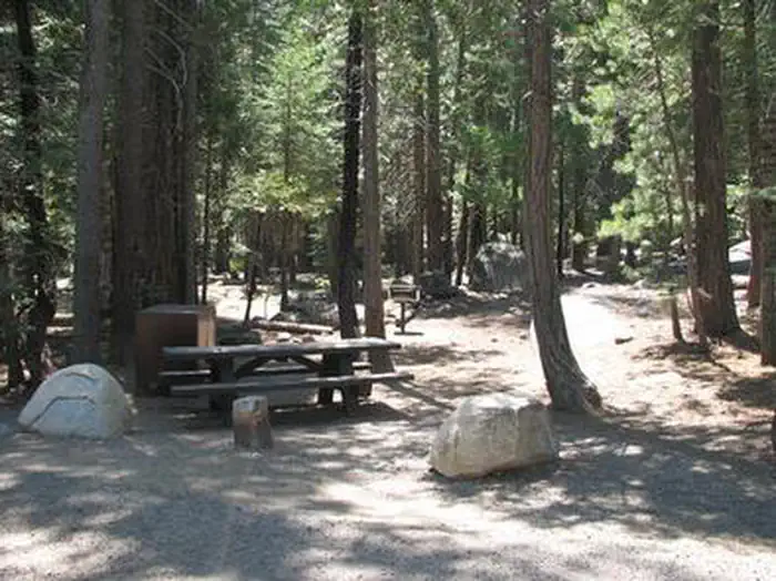
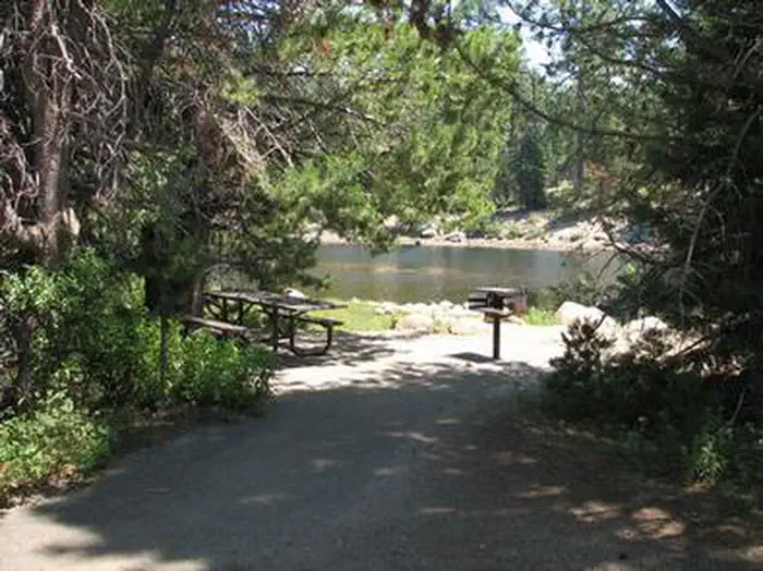
Overview Gerle Creek Campground is nestled on the banks of the Gerle Creek Fork among a lush forest of hardwoods. The area provides lots of opportunity for fishing and water play. Hiking and biking are also popular. Recreation Swimming, canoeing, kayaking and fishing are some of the fun things to do on the creek. Common fish species include brown and rainbow trout. An accessible fishing dock is located on-site. The Gerle Creek Interpretive Trail is fully accessible and provides scenic views and interesting displays. Facilities The campground offers single and double-family campsites, many of which are accessible. Each site is equipped with a picnic table and campfire ring. Vault toilets are provided and firewood is available for purchase. Natural Features Gerle Creek Campground sits at an elevation of 5,300 feet, upstream of Gerle Creek Divide Reservoir. It is on the Georgetown Divide within the Eldorado National Forest. Gerle Creek was named for two brothers who were early settlers and farmers in the region. Eldorado National Forest boasts over 400 miles of hiking trails, an abundance of lakes and rivers for fishing and swimming, and incredible scenery. The climate is similar to that of the Mediterranean, with warm, dry summers and cold, wet winters. Nearby Attractions Union Valley Reservoir and Loon Lake are within a short drive of the campground, offering additional fishing and boating opportunities. Charges & Cancellations Change Fee: A service fee may be charged at the time a modification is made depending on the changes. Cancellation Fee: A $10 service fee will be withheld from any refunds for a cancelled reservation. Cut-Off Window: The latest date and/or time that you can make an advanced reservation or a change to an existing reservation. Cut-off windows can vary by location, but are typically 4 days before your arrival date. A customer who cancels a reservation the day before or on the day of arrival will pay a $10.00 service fee AND forfeit the first night's use fee (see Late Cancellation below). Late Cancellation: If you cancel your reservation too close to the start date, additional service fees may be withheld. Refunds : Refund requests made through www.recreation.gov will be charged a $10 processing fee. This fee is retained by the reservation service contractor along with the non-refundable reservation fee. All requests for the return of the non-refundable reservation fee and the cancellation fee will be declined by the campground concessionaire as they did not receive these fees (these are the fees retained by the reservation contractor, a different entity).
From the managing agency.
Is GERLE CREEK free?
No. GERLE CREEK charges a fee.
How do I get to GERLE CREEK?
GERLE CREEK is at 38.9750, -120.3917. We do not hold written directions for this one, so navigate to the coordinates.
Nearby
- Gerle Creek Campground0.1 mi
- Airport Flat Campground0.9 mi
- South Fork Group - Eldorado NF (CA)1.9 mi
- South Fork Group Campground2.0 mi
- LOON LAKE3.4 mi
- ROBBS HUT3.6 mi
- LOON LAKE CHALET3.9 mi
- Loon Lake Equestrian Group Campground3.9 mi
- French Meadows Rv Dump Station10.5 mi
- Indian Creek Camp Ground-Potable Water36.2 mi
SourceSource data is agency published. Last synced September 19, 2026. Community reports and photos are submitted by travelers and are not verified by the agency.
