
WENCH CREEK
Campground · Fee
Fast facts
- Cost
- Fee charged
- Type
- Campground
- Phone
- 831-245-6891
- Nearest dump station
- French Meadows Rv Dump Station · 16.4 mi
- Nearest water fill
- Indian Creek Camp Ground-Potable Water · 33.4 mi
- Coordinates
- 38.8903, -120.3772
- Last verified
- September 19, 2026
About this place
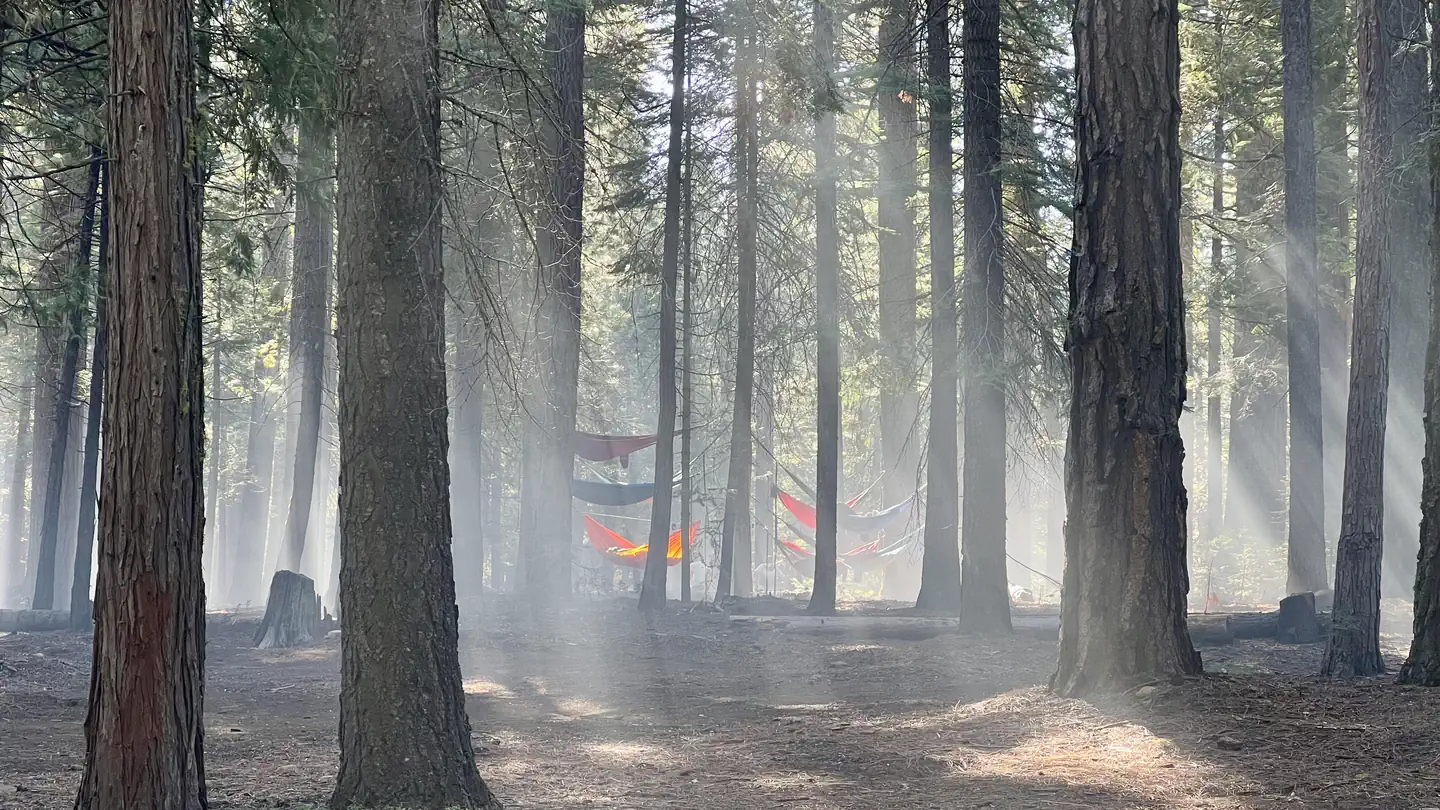
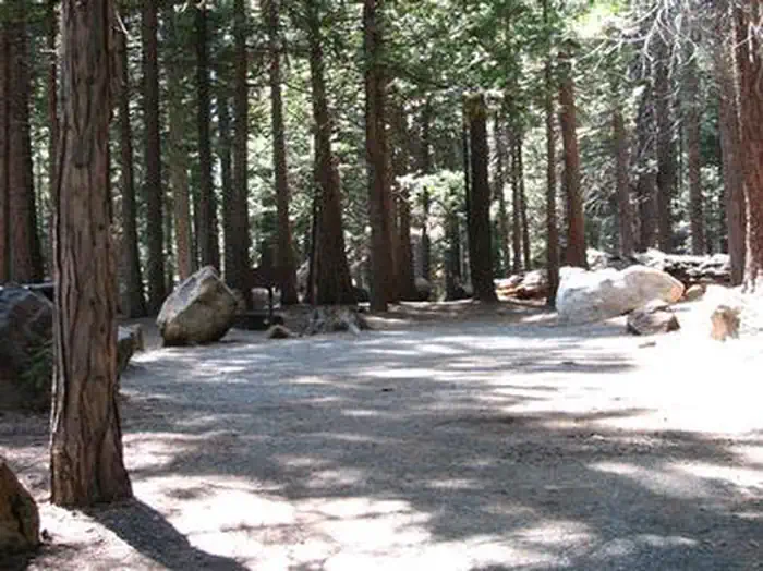
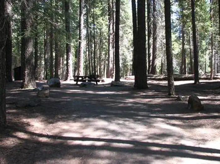
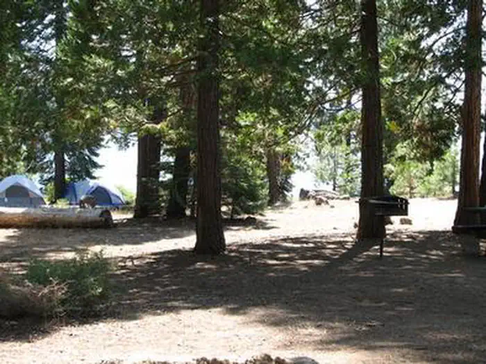
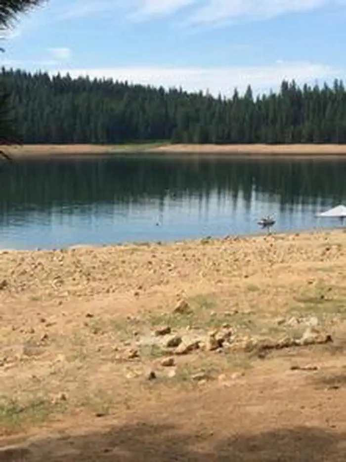
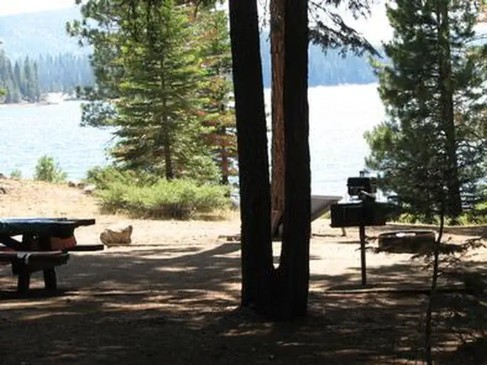
Overview Wench Creek Campground is located in a beautiful ponderosa pine forest on the east shore of Union Valley Reservoir. The campground has 2 group campsites and several single family campsites. Plenty of water activities await at this reservoir in the Sierra Nevada foothills. The Union Valley Bike Trail and Bassi Falls Hiking Trail are worth exploring. The Union Valley Trail runs right through Wench Creek. Recreation The Union Valley Bike Trail spans 4.8 miles with an easy climb of 300 feet. The trail connects campgrounds on the east side of the lake, starting from Wench Creek on to the Jones Fork Campground. Interpretive signs along the trail tell the story of the use and development of water resources in Union Valley. This trail can be used by both hikers and bikers. Anglers delight in seeking kokanee salmon, rainbow, brown, small mouth bass and mackinaw trout. The reservoir also offers opportunities for swimming, water skiing and boating. Boat ramps are located near Sunset and Yellowjacket Campgrounds. Facilities Firewood is available for a fee and it is possible to moor boats on the shoreline. Amenities include grills, fire rings, drinking water, picnic tables and both vault toilets. Electric hook-ups are not available. Single family sites are available on a first-come, first-served basis. One group site is tent-only, and the other is a standard site for tents, RVs, or trailers. Each group site can accommodate up to 50 people ( more campground details ). Natural Features Union Valley Reservoir sits in the Crystal Basin at an elevation of 4,900 feet. The area is part of the Eldorado National Forest. Eldorado includes the famed gold mining territory of the 1800s. Protected remnants of the days of the California Gold Rush are all around the region. An abundance of wildlife can be found within the Sierra Nevada Range, including black bears, mule deer, bobcat, gray fox, bighorn sheep, pikas, martens and a variety of squirrels. Several species of reptiles, amphibians and birds also inhabit the area. Nearby Attractions The Desolation Wilderness is nearby, offering the opportunity to get away from the crowds and enjoy the serenity of nature. Charges & Cancellations Change Fee: A service fee may be charged at the time a modification is made depending on the changes. Cancellation Fee: A $10 service fee will be withheld from any refunds for a cancelled reservation. Cut-Off Window: The latest date and/or time that you can make an advanced reservation or a change to an existing reservation. Cut-off windows can vary by location, but are typically 4 days before your arrival date. A customer who cancels a reservation the day before or on the day of arrival will pay a $10.00 service fee AND forfeit the first night's use fee (see Late Cancellation below). Late Cancellation: If you cancel your reservation too close to the start date, additional service fees may be withheld. Refunds : Refund requests made through www.recreation.gov will be charged a $10 processing fee. This fee is retained by the reservation service contractor along with the non-refundable reservation fee. All requests for the return of the non-refundable reservation fee and the cancellation fee will be declined by the campground concessionaire as they did not receive these fees (these are the fees retained by the reservation contractor, a different entity).
From the managing agency.
Is WENCH CREEK free?
No. WENCH CREEK charges a fee.
How do I get to WENCH CREEK?
WENCH CREEK is at 38.8903, -120.3772. We do not hold written directions for this one, so navigate to the coordinates.
Nearby
- Wench Creek Campground0.4 mi
- Wench Creek Group Campground0.6 mi
- Yellowjacket Campground0.6 mi
- Azalea Cove Campground0.7 mi
- YELLOWJACKET0.8 mi
- BIG SILVER GROUP1.1 mi
- Big Silver Group Campground1.1 mi
- Wolf Creek California Campground1.3 mi
- French Meadows Rv Dump Station16.4 mi
- Indian Creek Camp Ground-Potable Water33.4 mi
SourceSource data is agency published. Last synced September 19, 2026. Community reports and photos are submitted by travelers and are not verified by the agency.
