
Santa Rosa Island Backcountry Beach Camping
Campground · Dispersed · Fee
Fast facts
- Cost
- $10.00
- Type
- Campground
- Season
- January 1 to August 14
- Sites
- 30 total · 30 reservable · 0 first come
- Reservations
- recreation.gov
- Coordinates
- 33.8853, -120.1149
- Last verified
- September 18, 2026
About this place
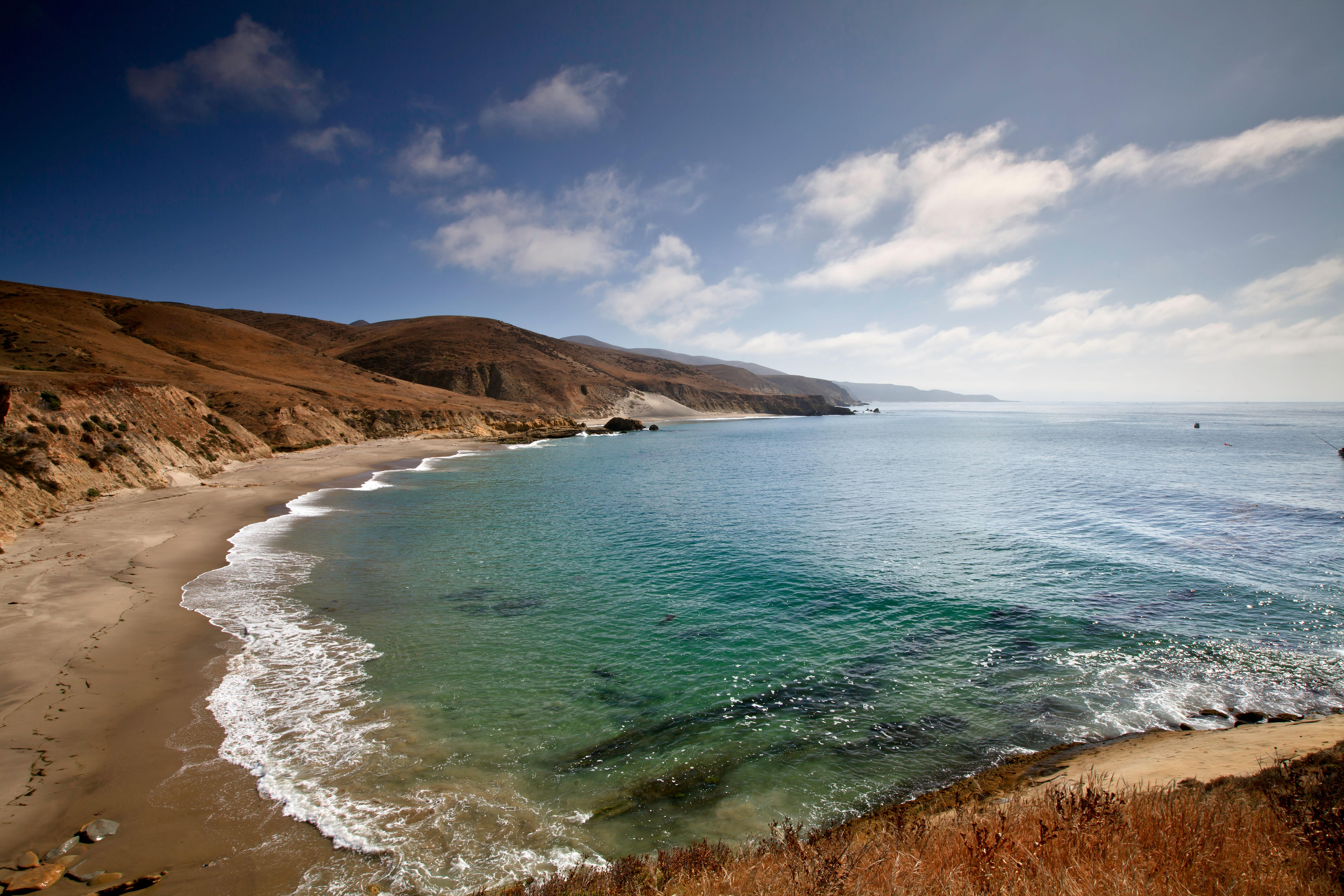
Backcountry camping on Santa Rosa Island is currently limited to certain beaches between August 15th and December 31st. Hiking is along the beach and rugged, unsigned (and sometimes unmaintained) dirt roads. The closest beach for camping is 8 miles from the boat/plane drop-off location. Reservations are required ($10 per night-per site). No services are provided.This is primitive, dispersed, backcountry camping. Visitors must backpack to all locations and carry all of their own gear, food and water.
From the managing agency.Official page
Is this site free?
No. this site charges $10.00. 30 of its sites are reservable through recreation.gov.
Can I bring an RV to this site?
this site has 30 sites on record. 30 sites are reservable and 0 are first come.
When is this site open?
The season on record runs January 1 to August 14. Dates move with weather and with the managing office, so check before a shoulder-season trip.
How do I get to this site?
Santa Rosa Island backcountry beach camping is only accessible by boat or plane. Visit our island transportation webpage for more information: http://www.nps.gov/chis/planyourvisit/island-transportation.htm The closest beach for camping is 8 miles from the boat/plane drop-off location.
What is the weather like at this site?
Weather conditions are generally best from August through October, with relatively calm wind and sea conditions and virtually no rain. Backpackers and kayakers should be prepared for strong northwest winds throughout the year, with the possibility of strong east or Santa Ana winds from October through January. The average wind speed is 15 knots, although speeds of 40 to 50 knots are not uncommon. Dense fog is common making chart and compass navigation mandatory.
Nearby
- SANTA ROSA ISLAND BACKCOUNTRY BEACH CAMPING6.5 mi
- SANTA ROSA ISLAND8.2 mi
- Water Canyon Campground8.3 mi
- SAN MIGUEL ISLAND17.2 mi
- San Miguel Island Campground17.2 mi
- SANTA CRUZ ISLAND DEL NORTE BACKCOUNTRY27.5 mi
- Del Norte Backcountry Campground27.5 mi
- SANTA CRUZ ISLAND SCORPION33.7 mi
No other services within 50 mi on the record.
SourceSource data is agency published. Last synced September 18, 2026. Community reports and photos are submitted by travelers and are not verified by the agency.
