
SANTA ROSA ISLAND
Campground · Fee not listed
Fast facts
- Cost
- Not listed. Check locally.
- Type
- Campground
- Phone
- 805-658-5730
- Coordinates
- 33.9911, -120.0481
- Last verified
- September 19, 2026
About this place
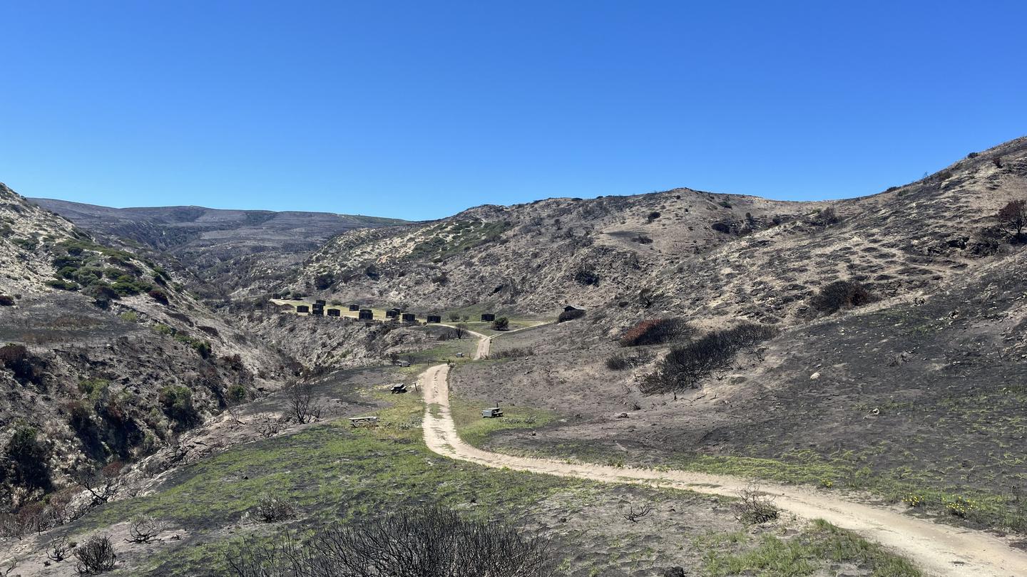
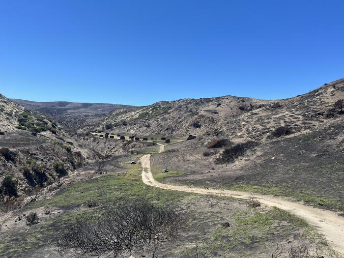
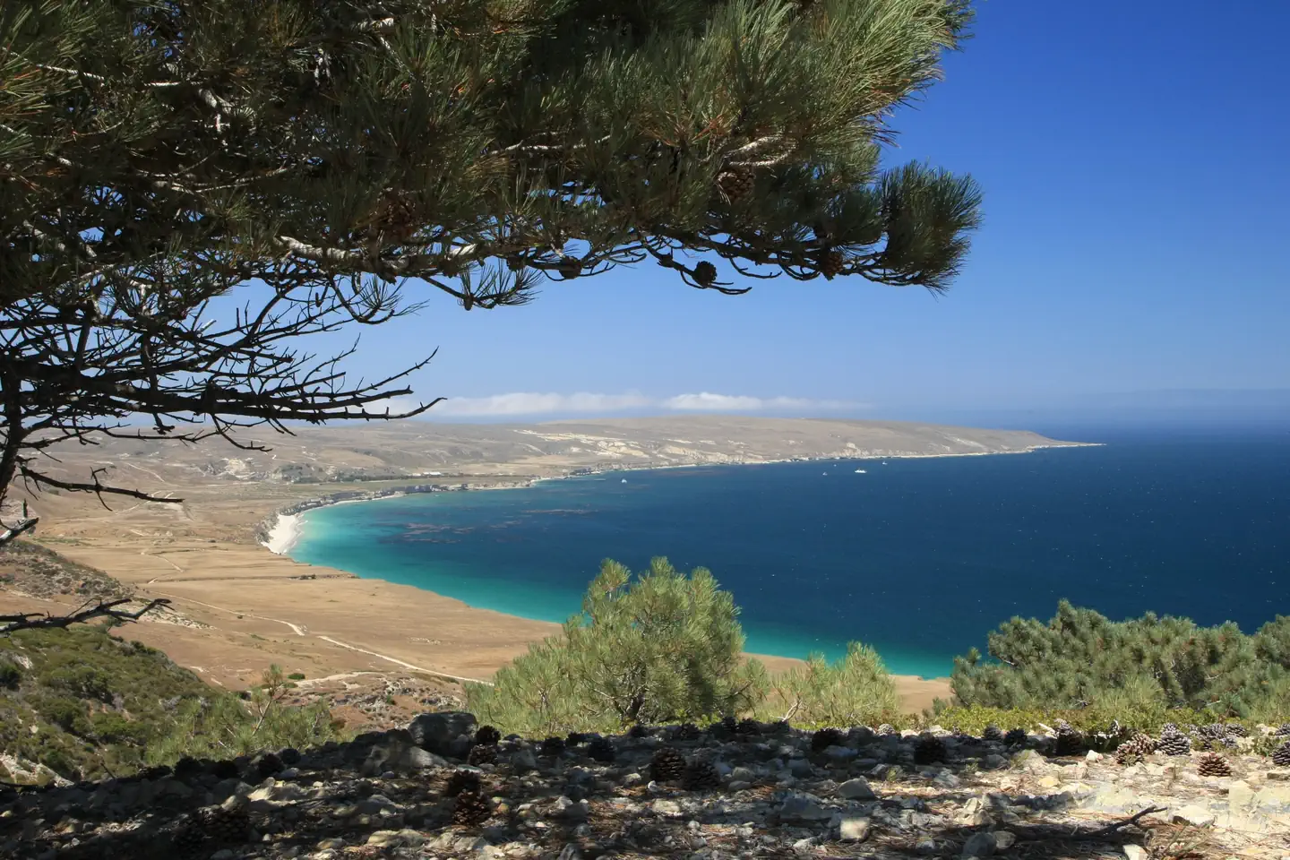
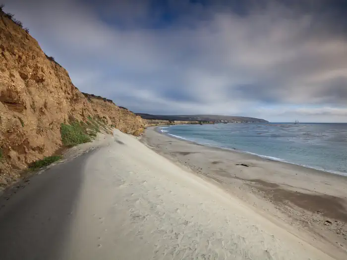
Overview Tucked away in a canyon to protect visitors from strong northwest winds, Water Canyon Campground offers exceptional island views, access to spectacular hiking opportunities and a nearby white sand beach. Located 40 nautical miles from the Channel Islands National Park visitor center in Ventura, Santa Rosa is the second largest island in California at approximately 53,000 acres in size. The island landforms support a diverse array of plant and animal species including six plant species found nowhere on earth but Santa Rosa Island. The island also hosts over 100 bird and three land mammal species, including the endemic island fox. Recreation Several trails and roads traverse the island, providing visitors with spectacular hiking opportunities, including the relatively flat route to Water Canyon Beach to the rugged, mountainous path to Black Mountain. Due to the strong, persistent wind, swimming, snorkeling, diving and kayaking are limited and recommended for the experienced visitor only. Despite the wind, Santa Rosa Island offers exceptional beach walking on white sand beaches. Access to one of the best beaches, Water Canyon Beach, is just over a mile from the pier in Bechers Bay and just down canyon from the campground. Beach access is also available near the pier. No fishing is allowed within the marine reserves located around the island. Fishing is allowed outside of these areas. For more information about recreational activities in the park, visit https://www.nps.gov/chis/planyourvisit/index.htm . Facilities Primitive camping is available at Water Canyon Campground (15 sites; 5 persons per site). Picnic table, food storage box, windbreak (8' tall, 10' deep, 14' wide at front, 8' wide at back), restroom and water are provided. The campground is a flat 1.5-mile hike from the pier and a 0.25-mile from the airstrip and Water Canyon Beach. Due to the boat schedule, minimum stay is generally three days. Natural Features Santa Rosa has a landscape of remarkable contrasts. High mountains with deeply cut canyons give way to gently rolling grass-covered hills, extensive beaches and coastal wetlands. The altitude ranges from sea level to 1,589 feet. Nearby Attractions Good tidepooling spots are located within Bechers Bay, including just east of the pier, the east end of Southeast Anchorage, and near East Point. A short hike from the campground is the Santa Rosa Island Torrey pine grove. This pine is considered one of the rarest pines in the world-the last enduring members of a once widespread Pleistocene forest. Near the pier, visitors can see buildings and equipment of the historic Vail and Vickers ranch. Access to a highly recommended beach, Water Canyon Beach, is just over a mile from the Bechers Bay pier. The sandy beach lies on the northeastern shore of the island. Bechers Bay is a destination in itself, with buildings and equipment at the historic Vail and Vickers ranch.
From the managing agency.
Is SANTA ROSA ISLAND free?
We do not have a fee on record for SANTA ROSA ISLAND. Confirm the cost locally before you go.
How do I get to SANTA ROSA ISLAND?
SANTA ROSA ISLAND is at 33.9911, -120.0481. We do not hold written directions for this one, so navigate to the coordinates.
Nearby
- Water Canyon Campground0.1 mi
- SANTA ROSA ISLAND BACKCOUNTRY BEACH CAMPING2.6 mi
- Santa Rosa Island Backcountry Beach Camping8.2 mi
- SAN MIGUEL ISLAND17.6 mi
- San Miguel Island Campground17.6 mi
- Del Norte Backcountry Campground22.3 mi
- SANTA CRUZ ISLAND DEL NORTE BACKCOUNTRY22.3 mi
- SANTA CRUZ ISLAND SCORPION28.2 mi
No other services within 50 mi on the record.
SourceSource data is agency published. Last synced September 19, 2026. Community reports and photos are submitted by travelers and are not verified by the agency.
