
PINECREST DAY USE AREA
Campground · Fee not listed
Fast facts
- Cost
- Not listed. Check locally.
- Type
- Campground
- Phone
- (209) 965-3434
- Nearest dump station
- Indian Creek Camp Ground-Trailer Dump Site · 39.6 mi
- Nearest water fill
- Indian Creek Camp Ground-Potable Water · 40.0 mi
- Coordinates
- 38.1914, -119.9933
- Last verified
- September 19, 2026
About this place
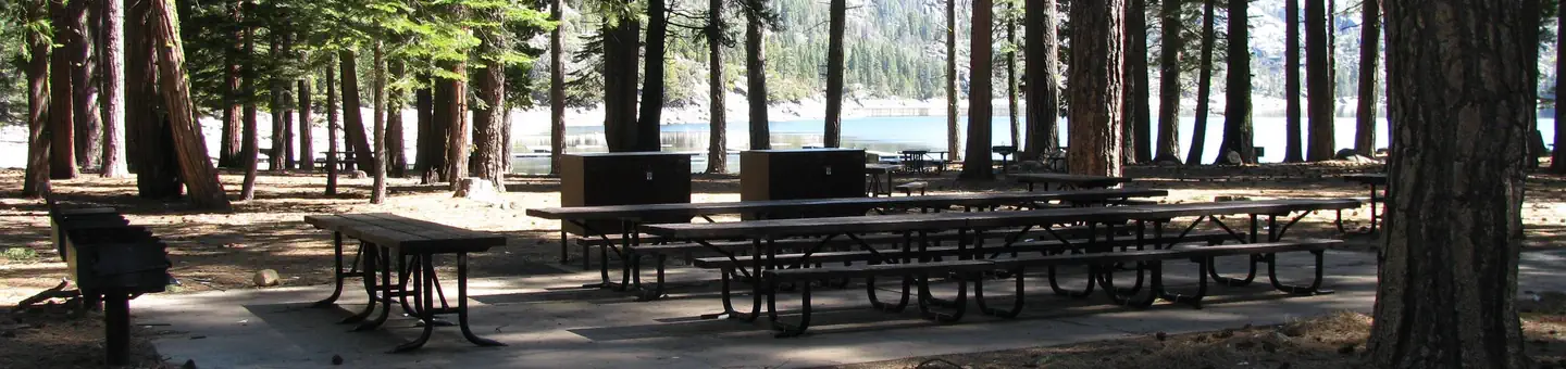
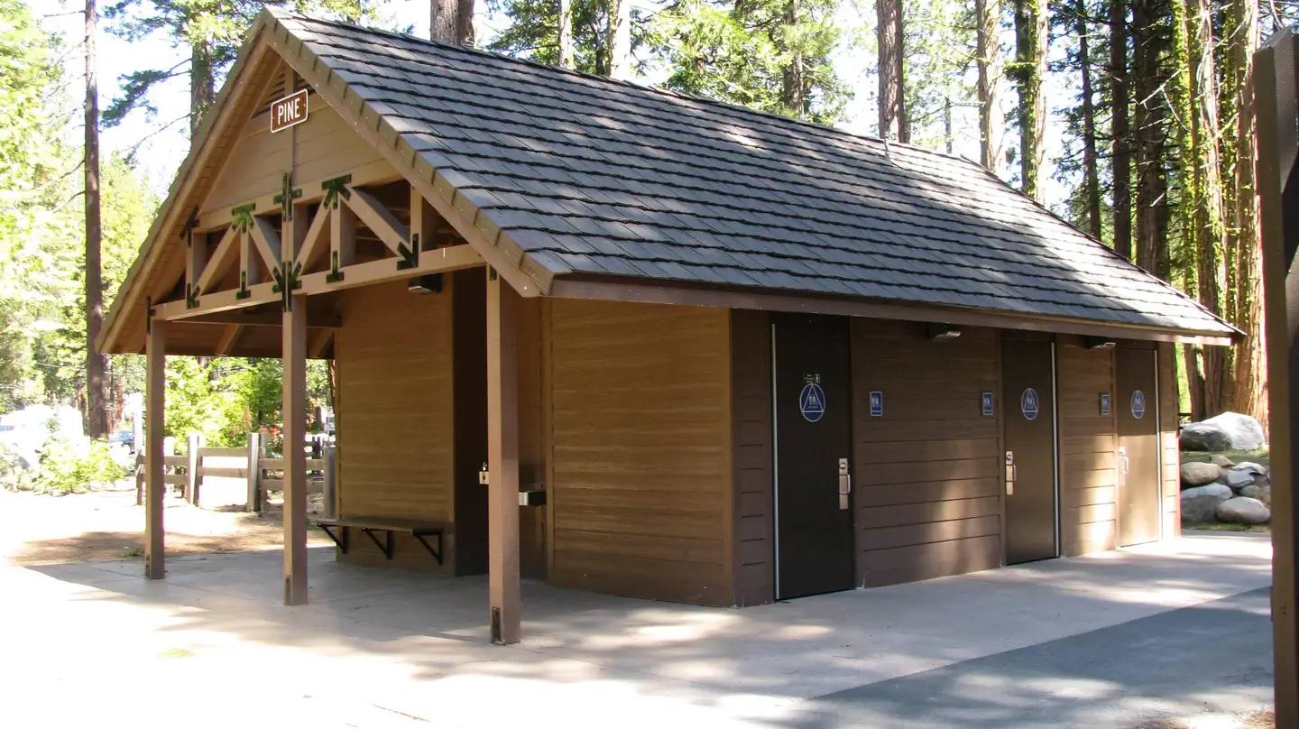
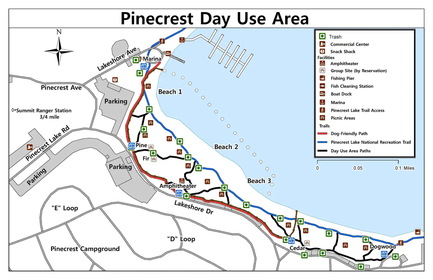
Overview Pinecrest Lake is located 40 minutes east of Sonora, California, and is within a 3-hour drive from major metropolitan areas including San Francisco, Sacramento and many valley cities. The lake is located at 5,600 feet elevation and provides cool summer relief, spectacular scenery, and lake shore beaches for relaxing, swimming and picnics. Recreation Pinecrest Lake is popular for swimming, hiking, kayaking, fishing and sailing (small boats). A nearby resort offers boat rentals, lodging and groceries. Movies and interpretive programs are provided in the evenings at the amphitheater, also located in the day use area. Two campgrounds within the Pinecrest Basin offer opportunities at nearly 300 campsites within one mile from the Pinecrest Day Use Area. *Outdoor movie showings and interpretive programs typically end for the season by mid-October due to weather. Please check for availability. Facilities Group use sites are fully accessible and provide group size pedestal grills, food storage boxes, group picnic tables and food prep table. Water hydrants and recycle and garbage cans are also located within the sites. Flush toilets are located nearby. * Water hydrants are not available during the winter months due to freezing. ** Group sites may be under snow during winter months. Please plan accordingly as accessibility may be limited after heavy snowfall. Natural Features The day use area is surrounded by mixed conifer, providing shade during warm summer days. The group picnic sites are located within sight of the lake offering easy access to the lake, beach and hiking trails. Contact Info For facility specific information, please call (209) 459-9236. Nearby Attractions The Pinecrest National Recreation Trail traverses Pinecrest Lake for an easy four mile hike. Numerous opportunities for swimming, fishing, boating and lake play are within 100 feet from each group use picnic site.
From the managing agency.
Is PINECREST DAY USE AREA free?
We do not have a fee on record for PINECREST DAY USE AREA. Confirm the cost locally before you go.
How do I get to PINECREST DAY USE AREA?
PINECREST DAY USE AREA is at 38.1914, -119.9933. We do not hold written directions for this one, so navigate to the coordinates.
Nearby
- PINECREST0.2 mi
- Pinecrest Campground0.3 mi
- Pioneer Trail Group Campground0.4 mi
- PIONEER TRAIL0.4 mi
- Meadowview Campground0.7 mi
- Kerrick Corral Campground2.3 mi
- Teleli Pulaya Campground3.2 mi
- TeleLi puLaya (Black Oak) Campground3.2 mi
- Indian Creek Camp Ground-Trailer Dump Site39.6 mi
- Indian Creek Camp Ground-Potable Water40.0 mi
SourceSource data is agency published. Last synced September 19, 2026. Community reports and photos are submitted by travelers and are not verified by the agency.
