
PINECREST
Campground · Fee not listed
Fast facts
- Cost
- Not listed. Check locally.
- Type
- Campground
- Phone
- 209-965-3116
- Nearest dump station
- Indian Creek Camp Ground-Trailer Dump Site · 39.7 mi
- Nearest water fill
- Indian Creek Camp Ground-Potable Water · 40.1 mi
- Coordinates
- 38.1908, -119.9972
- Last verified
- September 19, 2026


About this place
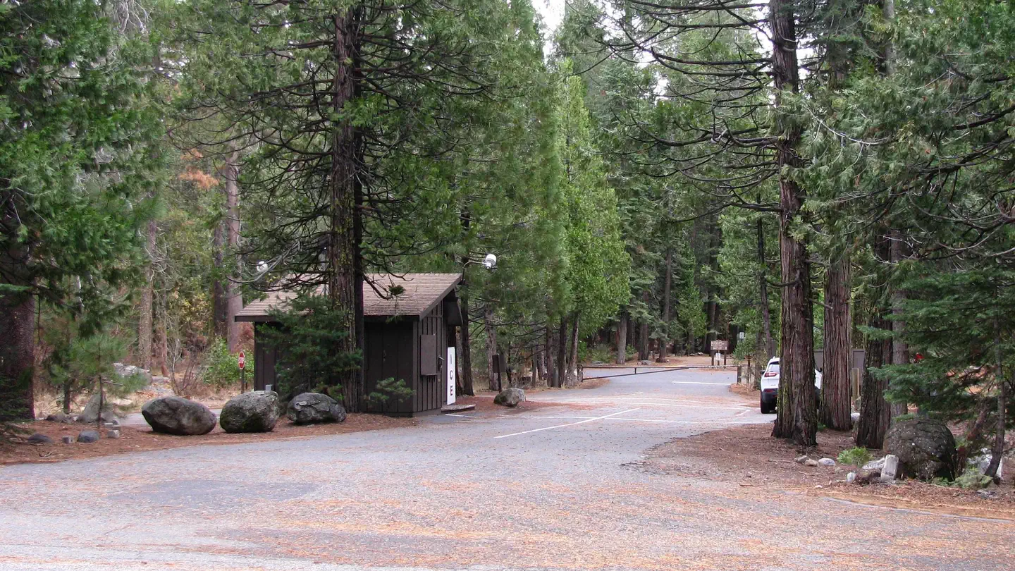
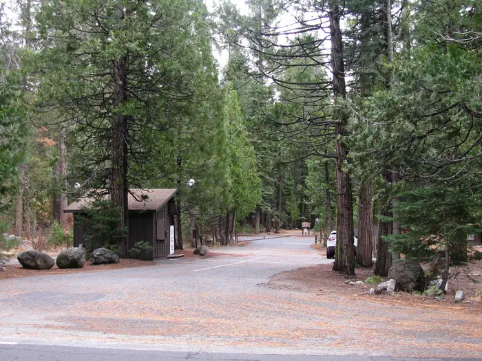
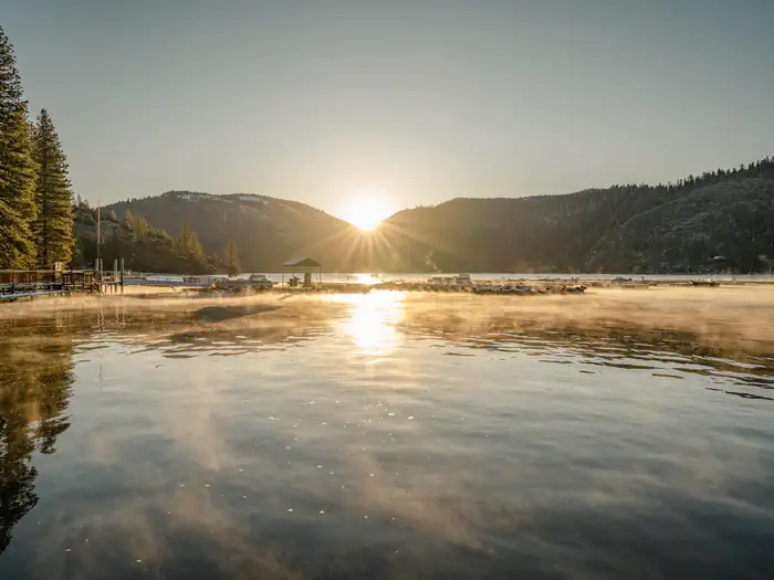
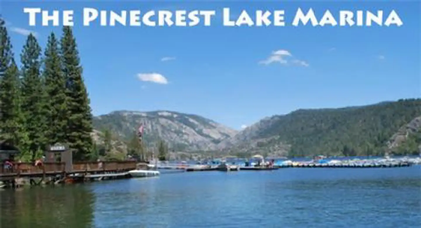
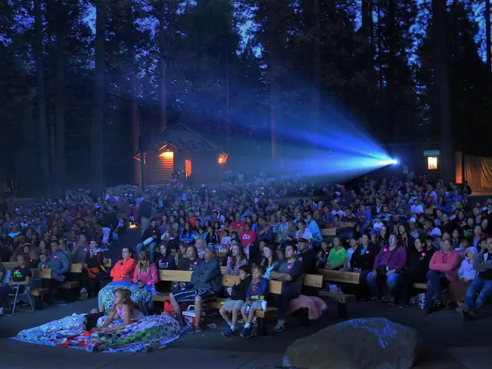
Overview Pinecrest features a large campground by Pinecrest Lake, just 30 miles east of Sonora, at an elevation of 5600 feet. The area includes a day-use beach and a marina, a small shopping center and recreation cabins. The campground caters to all ages and is within walking distance of the lake, an amphitheater, visitor center, swimming beach and spectacular hiking trails. Pets are welcome, but must be compliant with Tuolumne County leash laws. Recreation The Pinecrest Lake National Recreation Trail takes hikers on an easy 4-mile stroll around Pinecrest Lake. Rainbow trout is a common catch in the lake and swimming is enjoyed at the sandy beach. Educational programs are also a highlight of the recreation area. Bike rentals are on hand so campers can bike around the area. Facilities Amenities for each site includes a paved parking pad, picnic table and campfire ring. Drinking water is handy and restrooms have flush toilets, sinks and a utility sink. No RV hookups area available and no showers. At the entrance of the campground is a kiosk to help with additional questions and where campground reservation check in will happne. Ice and fire wood is for sale here. Natural Features Many campsites are shaded by trees and sit near the southwest side of the 300-acre Pinecrest Lake in Stanislaus National Forest. In this beautiful mountain landscape, wildlife viewing opportunities include marmots, squirrels, coyotes and deer. Stanislaus National Forest is situated in the central Sierra Nevada Mountains, between Lake Tahoe and Yosemite. The area boasts gorgeous views of snow-capped mountain peaks and California's Great Central Valley. Nearby Attractions Located in the nearby area are several activities. There are ample hiking trails, horseback riding, fishing, mountain bike riding, and water activities. Pinecrest lake is a boating and swimming recreation area with restaurants, stores, boat rentals, and an outdoor movie theater. Dodge Ridge Mountain Resort is a ski area in the winter and in the summer is a basecamp for mountain biking, hiking, and a great indoor/outdoor BBQ. Aspen Meadow Pack Station is three miles from Pinecrest Lake and offers horseback rides and trail head for hiking. Kennedy Meadows is 30 miles east of Pinecrest and offers great river access for fishing, horse bike rides, hiking, and restaurants. Sonora Pass, a scenic winding highway that has guided people across the Sierra Nevada since 1852, is located nearby.
From the managing agency.
Is PINECREST free?
We do not have a fee on record for PINECREST. Confirm the cost locally before you go.
How do I get to PINECREST?
PINECREST is at 38.1908, -119.9972. We do not hold written directions for this one, so navigate to the coordinates.
Nearby
- Pinecrest Campground0.1 mi
- PINECREST DAY USE AREA0.2 mi
- Meadowview Campground0.5 mi
- Pioneer Trail Group Campground0.6 mi
- PIONEER TRAIL0.6 mi
- Kerrick Corral Campground2.5 mi
- Teleli Pulaya Campground3.0 mi
- TeleLi puLaya (Black Oak) Campground3.0 mi
- Indian Creek Camp Ground-Trailer Dump Site39.7 mi
- Indian Creek Camp Ground-Potable Water40.1 mi
SourceSource data is agency published. Last synced September 19, 2026. Community reports and photos are submitted by travelers and are not verified by the agency.
