
OBSERVATION POINT PICNIC SHELTER (CA)
Campground · Fee not listed
Fast facts
- Cost
- Not listed. Check locally.
- Type
- Campground
- Phone
- 209-772-1343
- Nearest dump station
- Sugar Pine Dump Station · 66.8 mi
- Nearest water fill
- Indian Creek Camp Ground-Potable Water · 69.2 mi
- Coordinates
- 38.1547, -120.8136
- Last verified
- September 19, 2026
About this place
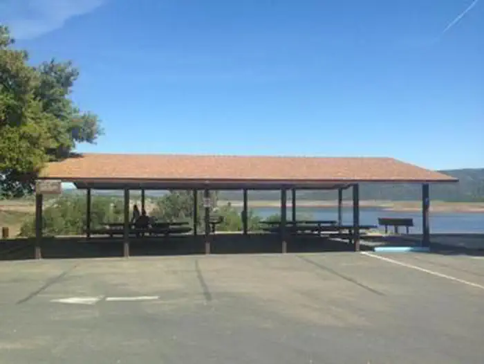
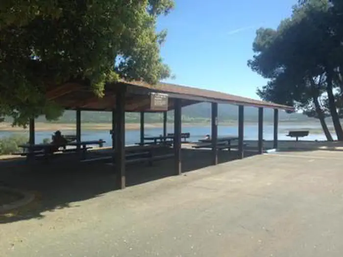
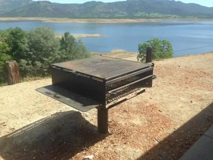
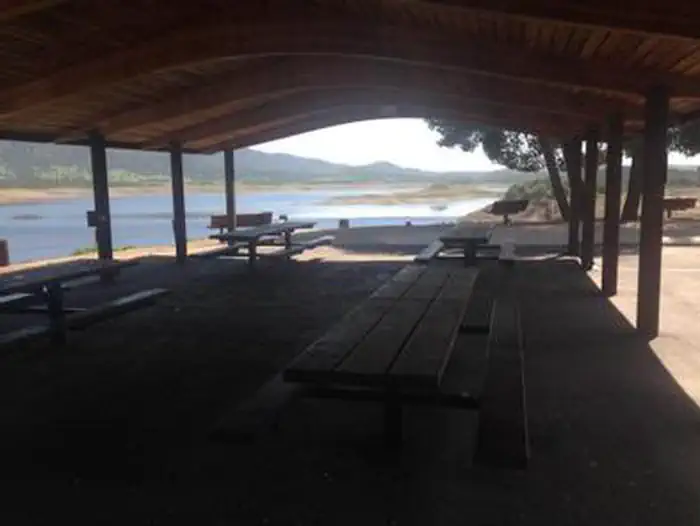
Overview New Hogan Dam and Lake is located in the oak- and brush-covered foothills of the Sierra Nevada Mountains. The 4,400 acre lake was created in 1964 with the completion of New Hogan Dam. When full, the lake has 50 miles of shoreline and extends nearly eight miles upstream to the confluence of the north and south forks of the Calaveras River. The dam provides flood protection to the City of Stockton (among other communities) and water for irrigation, drinking, and hydroelectric power. The area is generally characterized by a warm, dry climate with summer temperatures regularly soaring above 90 degrees. Recreation This picnic shelter offers a perfect setting for a large gathering of family and friends to spend a day in the fresh air with panoramic views of the lake and dam. The overhead shade shelter provides for an escape from the hot sun above. Fishing is allowed year-round, subject to state regulations. Popular species caught in New Hogan Lake include striped bass, black bass, catfish, bluegill, and crappie. Below the dam, the cool waters of the Calaveras River are home to a healthy population of rainbow trout. Fly-fishing is popular on this stretch of river. Facilities Fixed picnic tables on a concrete foundation with seating for approximately 75 people are provided with space for additional tables under the shade shelter. A large free standing barbeque, an electrical outlet, and trash/recycle receptacles are also provided as a convenience. Asphalt parking, flush restroom facilities, horseshoe pits, drinking fountains and a playground are located adjacent to the shelter. The parking lot for this area is shared with the Park Visitor Center and Headquarters Office. *Note that this is a picnic shelter designated for personal picnics and gatherings. If you wish to hold a special event at this location please contact the New Hogan Lake Park Headquarters office to obtain a special use permit at 209-772-1343. Natural Features Wildlife species thrive at the lake and on the surrounding 4,400 acres of US Army Corps of Engineers ´ managed land. Wildlife enthusiasts may spot black-tailed deer, cottontail rabbits and jackrabbits, wild turkeys, turkey vultures, bald and golden eagles, osprey, red-tailed and other hawks, ducks and geese, California quail, acorn woodpeckers and northern flickers, coyotes, rattlesnakes and other snakes, gray fox, bobcats, and an occasional mountain lion. Nearby Attractions A number of historic sites are located nearby, including Carson Hill, the discovery site of the largest gold nugget ever found, and The Black Bart Inn, located in San Andreas, where the famous outlaw Black Bart was captured. Groceries, gas, camping supplies and more can be found in the nearby town of Valley Springs, California.
From the managing agency.
Is this site free?
We do not have a fee on record for this site. Confirm the cost locally before you go.
How do I get to this site?
this site is at 38.1547, -120.8136. We do not hold written directions for this one, so navigate to the coordinates.
Nearby
- DEER FLAT BOAT IN CAMPGROUND0.0 mi
- ACORN CAMPGROUND1.7 mi
- OAK KNOLL CAMPGROUND2.0 mi
- COYOTE POINT11.9 mi
- GLORY HOLE RECREATION AREA18.0 mi
- TUTTLETOWN RECREATION AREA20.4 mi
- Wakalu Hep Yo (wild River) Campground34.4 mi
- Waka Lu Hep Yo34.4 mi
- Sugar Pine Dump Station66.8 mi
- Indian Creek Camp Ground-Potable Water69.2 mi
SourceSource data is agency published. Last synced September 19, 2026. Community reports and photos are submitted by travelers and are not verified by the agency.
