
COYOTE POINT
Campground · Fee not listed
Fast facts
- Cost
- Not listed. Check locally.
- Type
- Campground
- Phone
- 209-772-1343
- Nearest dump station
- Indian Creek Camp Ground-Trailer Dump Site · 77.8 mi
- Nearest water fill
- Indian Creek Camp Ground-Potable Water · 78.0 mi
- Coordinates
- 37.9844, -120.8447
- Last verified
- September 19, 2026
About this place
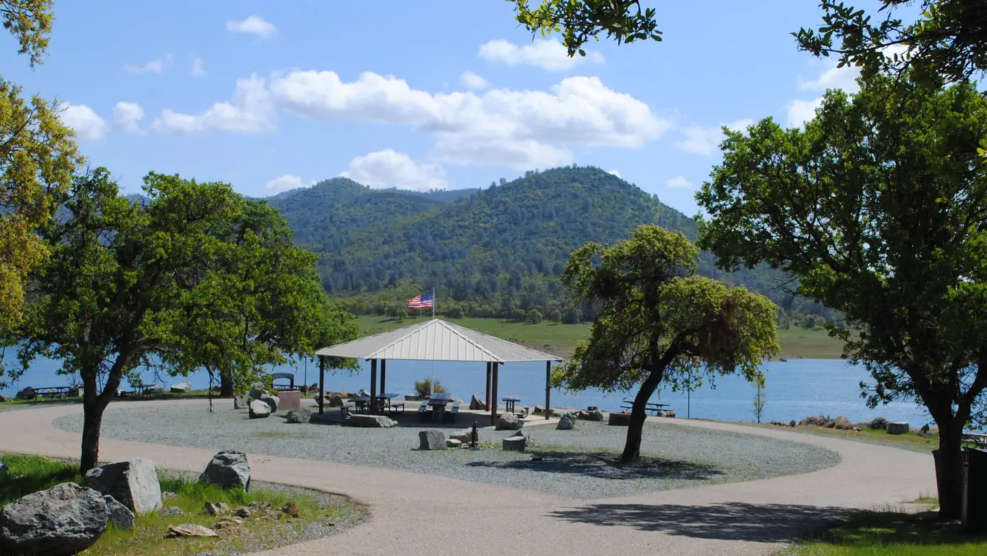
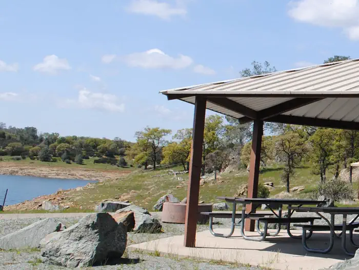
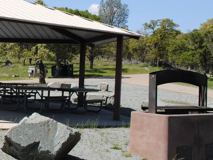
Overview Coyote Point sits along New Hogan Lake in the brush-covered foothills of the Sierra Nevada Mountains. With summer temperatures regularly soaring above 90 degrees, visitors find comfort in the refreshing waters of New Hogan Lake, conveniently accessed from the campground. Recreation Boating is a popular pastime, with boat ramps conveniently located around the lake. The large surface area allows for plenty of water skiing, wake boarding, jet skiing and more. Year-round fishing for stripers, bass, crappie, bluegill and catfish is perfect for experts and beginners alike. Some of the biggest fish are found in less than 25 feet of water. The "River of Skulls" hiking trail is located below the dam at the Monte Vista Recreation Area. The trail also includes a staging area for an eight mile equestrian trail on a scenic loop that winds along the lake and through the foothill chaparral. Trail guides are available at the park office. Bike trails suitable for the beginners as well as advanced riders are found on the west side of the lake and next to the group camping area. An easy 3-mile trail connects the park office with Acorn Campground. Hunting with bow or shotgun during the open season is permitted in certain areas of the lake. Upland game such as turkey, quail and dove is available and waterfowl includes a variety of duck and geese. Facilities Coyote Point offers a spacious group campsite that can accommodate up to 50 guests. Campfire and interpretive programs offer additional recreation for visitors, as well as two 18-hole disc golf courses at a nearby recreation area. The campsite includes a large grill, picnic shelter, and vault restroom, making it perfect for group gatherings. Natural Features The 4,400 surface-acre lake was created in 1964 with the completion of New Hogan Dam. When full, the lake has 50 miles of shoreline and extends nearly 8 miles upstream to the confluence of the north and south forks of the Calaveras River. The dam was built to provide flood protection to the city of Stockton and water for irrigation, drinking and hydroelectric power, and it now offers recreation opportunities for thousands of visitors each year. The New Hogan area supports a wide variety of wildlife. The foothills are home to grey fox, mule deer, coyote, turkey, mountain lion, bobcat and rattlesnakes. New Hogan is also a wintering home for bald eagles. The south shore of the lake has been designated as a wildlife viewing area. Nearby Attractions A number of historic sites are located nearby, including Carson Hill, the discovery site of the largest gold nugget ever found. Groceries, gas, and camping supplies are available in the nearby town of Valley Springs, California.
From the managing agency.
Is COYOTE POINT free?
We do not have a fee on record for COYOTE POINT. Confirm the cost locally before you go.
How do I get to COYOTE POINT?
COYOTE POINT is at 37.9844, -120.8447. We do not hold written directions for this one, so navigate to the coordinates.
Nearby
- DEER FLAT BOAT IN CAMPGROUND11.9 mi
- OBSERVATION POINT PICNIC SHELTER (CA)11.9 mi
- ACORN CAMPGROUND13.5 mi
- OAK KNOLL CAMPGROUND13.9 mi
- GLORY HOLE RECREATION AREA16.7 mi
- TUTTLETOWN RECREATION AREA18.4 mi
- Hacienda Campground36.2 mi
- Sand Bar Flat Campground40.0 mi
- Indian Creek Camp Ground-Trailer Dump Site77.8 mi
- Indian Creek Camp Ground-Potable Water78.0 mi
SourceSource data is agency published. Last synced September 19, 2026. Community reports and photos are submitted by travelers and are not verified by the agency.
