
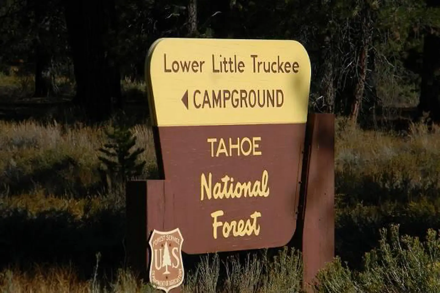
LOWER LITTLE TRUCKEE
Campground · Fee not listed
Fast facts
- Cost
- Not listed. Check locally.
- Type
- Campground
- Phone
- (530) 994-3401
- Nearest dump station
- Logger Dump Station · 6.3 mi
- Nearest water fill
- Indian Creek Camp Ground-Potable Water · 56.3 mi
- Coordinates
- 39.4858, -120.2370
- Last verified
- September 19, 2026
About this place
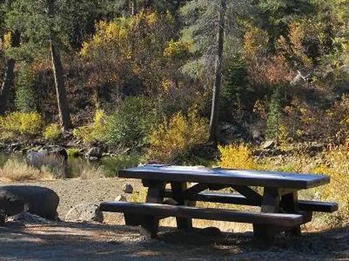
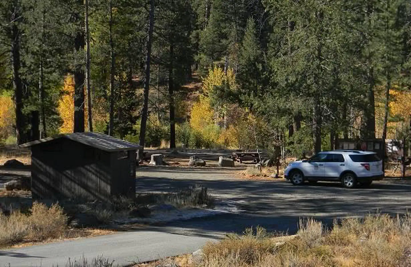
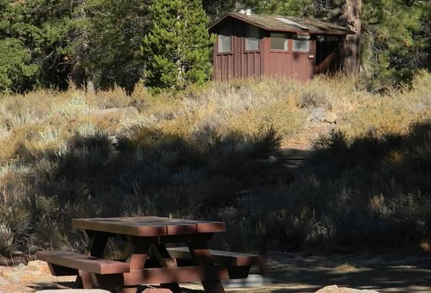
Overview Lower Little Truckee Campground is located along the Little Truckee River on Highway 89, about 11 miles north of Truckee. Its convenient location makes it a great base camp for a variety of recreational activities, including fishing, hunting, hiking and biking. This facility is operated and maintained by Lake Tahoe Hospitality LLC for the Tahoe National Forest. Recreation Fishing for rainbow and brown trout in the Little Truckee River is a popular activity enjoyed by visitors to the area. The surrounding area offers hiking and biking trails. Facilities The campground offers single-family campsites, each equipped with a picnic table and campfire ring. Vault toilets and drinking water are provided. Natural Features The campground is situated on the banks of the Little Truckee River, at an elevation of 6,100 feet. A forest of lodgepole pine, aspen and juniper trees covers the area, offering partial shade. A few sites overlook the river. Contact Info This location has limited staffing. Please call (530) 606-3978 for general information. Nearby Attractions The Town of Truckee, 10 minutes south, offers all the amenities of a year round recreational mountain town with Interstate highway connectivitiy including top notch restaraunts, resorts, and hotels, grocery stores, gas stations, shopping, and historic sites. Lake Tahoe is located 30 minutes away and offers excellent boating, kayaking, fishing, hiking and scenic driving opportunities as well as dining, shopping and lodging options. Stampede Reservoir and recreation area is a 35-minute drive southeast of the campground. Sardine Lakes, within beautiful Lakes Basin, is a 40-minute drive northwest, via the Golden Chain/Highway 49. Other recreational opportunities include Donner Camp Interpretive Trail, Overland Emigrant Commemorative Trial, Prosser Pits OHV area, and numerous hiking, mountain biking, and OHV trails.
From the managing agency.
Is LOWER LITTLE TRUCKEE free?
We do not have a fee on record for LOWER LITTLE TRUCKEE. Confirm the cost locally before you go.
How do I get to LOWER LITTLE TRUCKEE?
LOWER LITTLE TRUCKEE is at 39.4858, -120.2370. We do not hold written directions for this one, so navigate to the coordinates.
Nearby
SourceSource data is agency published. Last synced September 19, 2026. Community reports and photos are submitted by travelers and are not verified by the agency.
