
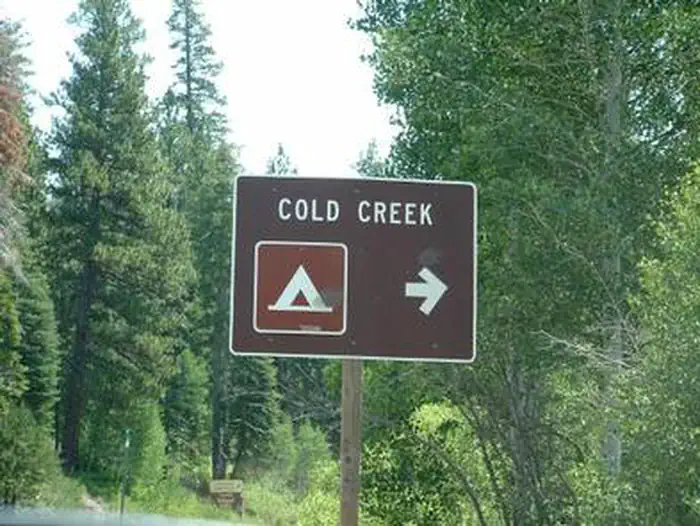
COLD CREEK
Campground · Fee not listed
Fast facts
- Cost
- Not listed. Check locally.
- Type
- Campground
- Phone
- (530) 994-3401
- Nearest dump station
- Logger Dump Station · 11.6 mi
- Nearest water fill
- Indian Creek Camp Ground-Potable Water · 61.7 mi
- Coordinates
- 39.5428, -120.3147
- Last verified
- September 19, 2026
About this place
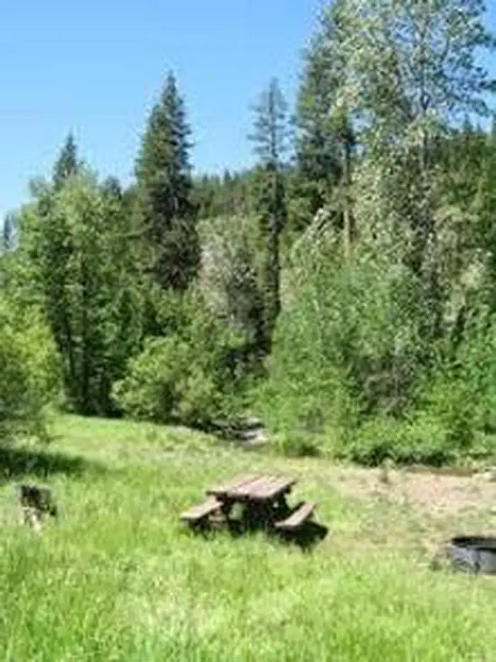
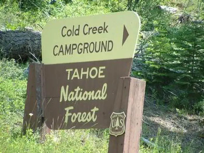
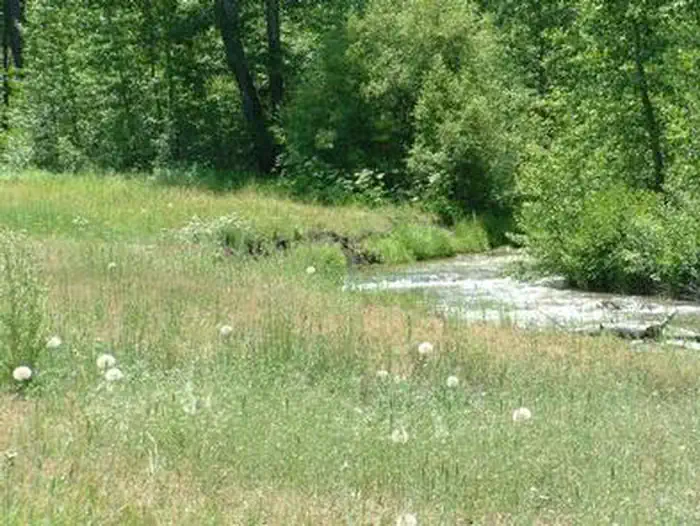
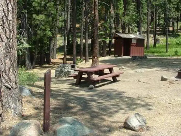
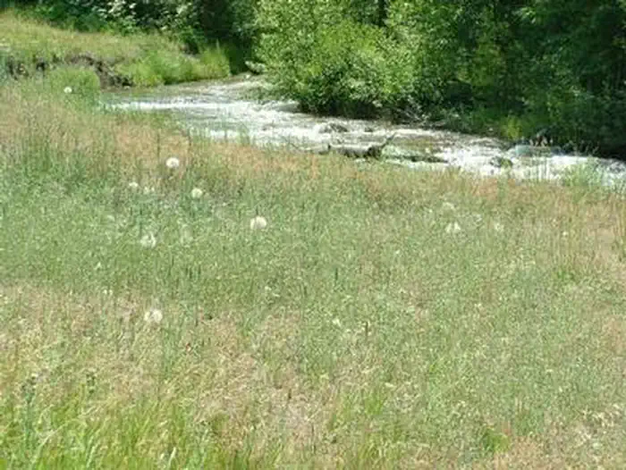
Overview Cold Creek Campground is located on Highway 89, 4.5 miles south of Sierraville, California. The facility location makes Cold Creek a great base camp for a variety of recreational activities, including fishing, hunting, hiking and biking. This is a small campground recommended for tent camping and small campers. Large RVs will not be able to make the turnaround exit at this facility. There are a couple of hike-in sites within this campground that share a small parking area toward the back of this facility. This facility is operated and maintained by Lake Tahoe Hospitality LLC for the Tahoe National Forest. Recreation Cold Creek offers rainbow trout fishing and swimming. Cottonwood Creek Botanical Trail and Overlook Trail both begin at nearby Cottonwood Creek Campground. Facilities The campground offers single-family campsites, each equipped with a picnic table and campfire ring. Vault toilets are provided. Natural Features The campground lies in a meadow between Cold Creek and Highway 89. Jeffrey pine and white fir trees cover half the campground, while the other half is situated closer to the creek among cottonwoods, willow and aspen trees. Contact Info This location has limited staffing. Please call (530) 606-3978 for general information. Nearby Attractions Lake Tahoe is conveniently close, only 35 minutes away. Tahoe offers excellent boating, kayaking, fishing, hiking and scenic driving opportunities. Sardine Lakes, and the beautiful Lakes Basin is a 35-minute drive northwest via the Golden Chain/Highway 49. Stampede Reservoir is a 45-minute drive southeast.
From the managing agency.
Is COLD CREEK free?
We do not have a fee on record for COLD CREEK. Confirm the cost locally before you go.
How do I get to COLD CREEK?
COLD CREEK is at 39.5428, -120.3147. We do not hold written directions for this one, so navigate to the coordinates.
Nearby
- Cold Creek Campground0.1 mi
- COTTONWOOD CREEK0.5 mi
- Cottonwood Creek Campground0.5 mi
- Bear Valley Campground4.3 mi
- Lake Of The Woods Campground4.9 mi
- UPPER LITTLE TRUCKEE5.1 mi
- Upper Little Truckee Campground5.2 mi
- LOWER LITTLE TRUCKEE5.7 mi
- Logger Dump Station11.6 mi
- Indian Creek Camp Ground-Potable Water61.7 mi
SourceSource data is agency published. Last synced September 19, 2026. Community reports and photos are submitted by travelers and are not verified by the agency.
