
SARDINE PEAK LOOKOUT
USFS · Campground · Fee
Fast facts
- Cost
- Fee charged
- Managed by
- USFS
- Type
- Campground
- Hours
- Check in: 2:00 p.m.; Check-out: 12:00 p.m.; Quiet hours are 10:00 p.m. until 6:00 a.m.
- Phone
- (530) 994-3401
- Nearest dump station
- Logger Dump Station · 6.4 mi
- Nearest water fill
- Indian Creek Camp Ground-Potable Water · 58.7 mi
- Coordinates
- 39.5402, -120.1879
- Last verified
- September 19, 2026
About this place
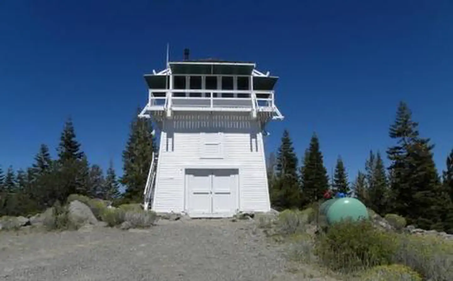
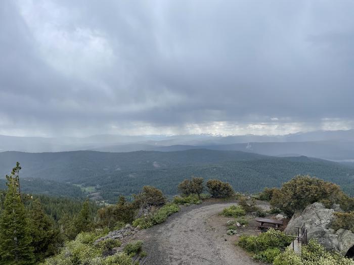
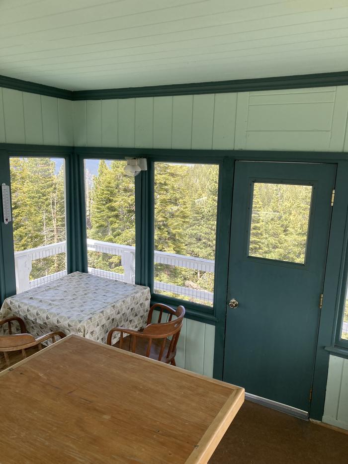
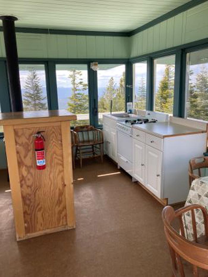
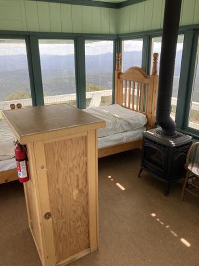
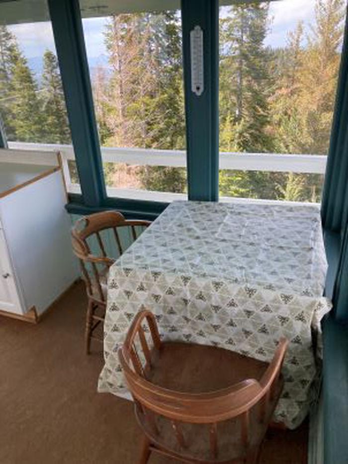
Overview Sardine Peak is a forest fire lookout tower that was constructed in 1935 by the Civilian Conservation Corps. It is a three story enclosed tower with external stairs. Presently the top room or observation cab is the only rentable space. Sardine sits at an elevation of 8,138 feet in the Eastern Sierra Nevada Mountains of Tahoe National Forest, approximately 20 miles from Truckee, California. The lookout does not have electricity, water or garbage service. It does have a propane tank to operate propane-powered appliances. Recreation Hiking, mountain biking and off road vehicle use are popular around this lookout. Stampede and Boca Reservoirs are nearby for fishing, boating and swimming. Facilities The interior of the cab is 14 feet long and 14 feet wide and contains two twin beds, a dry sink, a table and four chairs, two propane lights, a propane cast iron heat stove and a propane stove/oven for cooking. A limited assortment of cooking utensils, pots and pans are provided. There is an accessible vault toilet, a picnic table and fire ring are located outside below the lookout. Firewood is not provided. Visitors need to bring their own bedding, toilet paper and other personal items. Natural Features The lookout tower sits on a mountain top with spectacular views of Stampede Reservoir, Boca Reservoir, Sardine Valley, Independence Lake, the top of the Sierra Buttes and western Nevada. Nearby Attractions Kyburz Flat Interpretive Area, The Boca Townsite Interpretive Area, and a mountain bike loop within Sardine Valley are all nearby. Contact Info For facility specific information, please call (530) 430-8912.
From the USFS.
Is SARDINE PEAK LOOKOUT free?
No. SARDINE PEAK LOOKOUT charges a fee. It is managed by the USFS.
How do I get to SARDINE PEAK LOOKOUT?
SARDINE PEAK LOOKOUT is at 39.5402, -120.1879. We do not hold written directions for this one, so navigate to the coordinates.
Nearby
SourceData from the USFS. Last synced September 19, 2026. Community reports and photos are submitted by travelers and are not verified by the agency.
