
HAYWARD FLAT
Campground · Fee
Fast facts
- Cost
- Fee charged
- Type
- Campground
- Phone
- 530-275-8113
- Nearest dump station
- Old Station Dump Site · 71.9 mi
- Coordinates
- 40.8744, -122.7692
- Last verified
- September 19, 2026
About this place
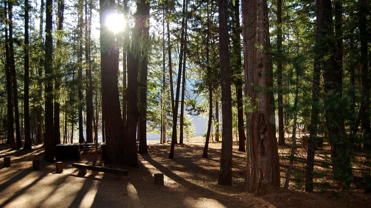
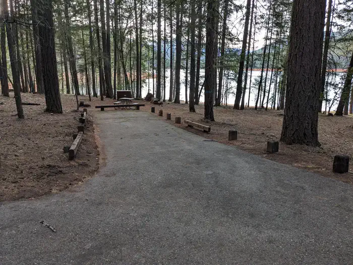
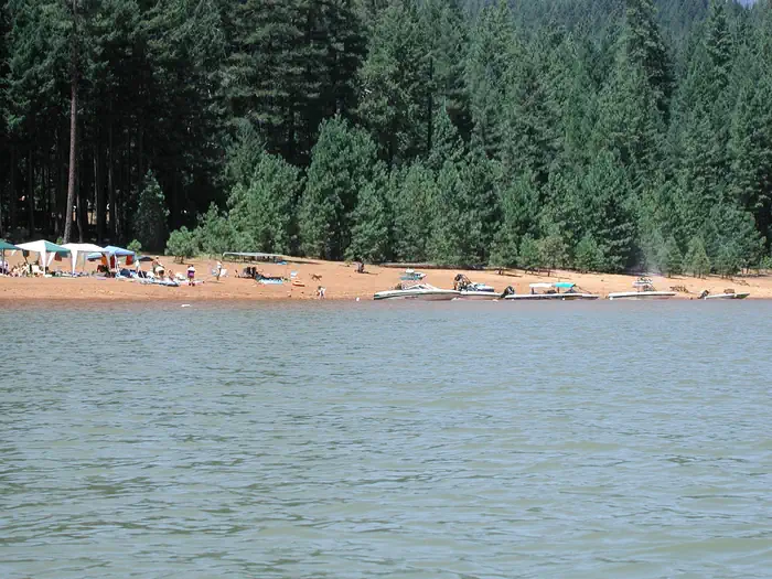
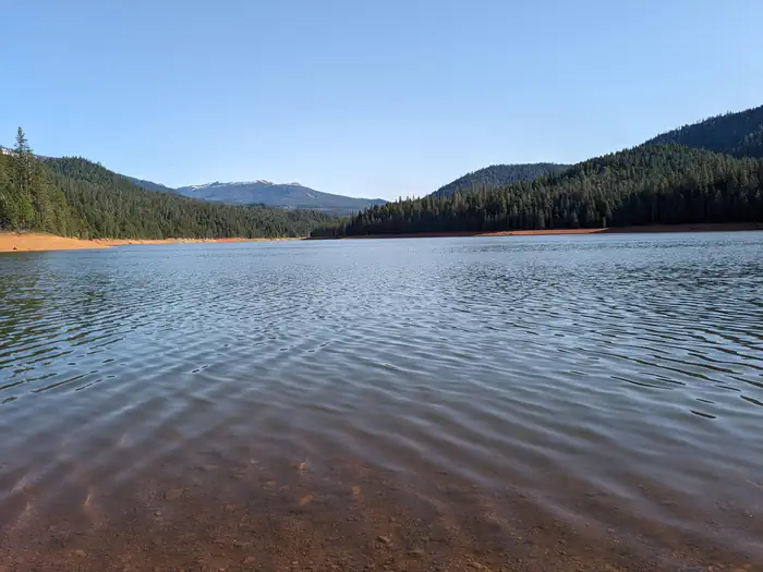
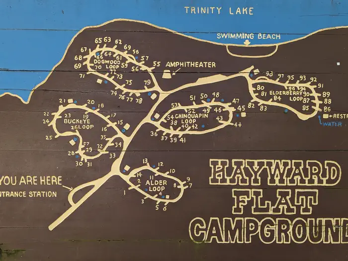
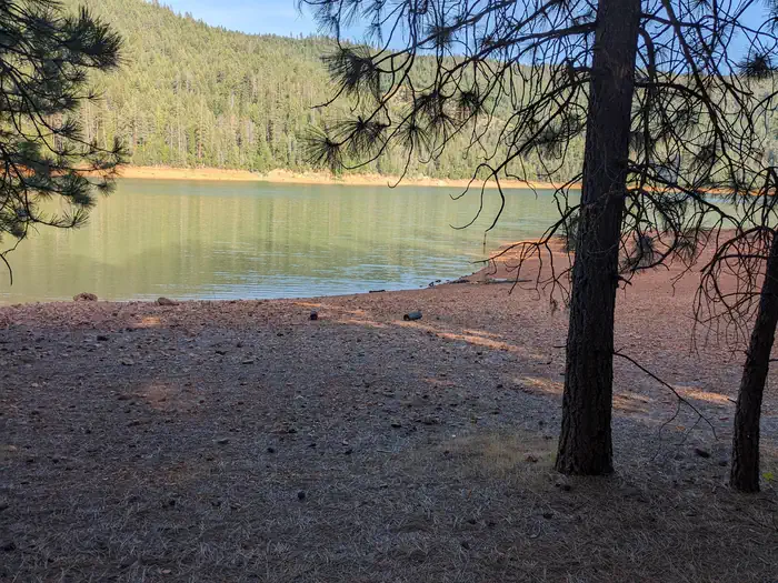
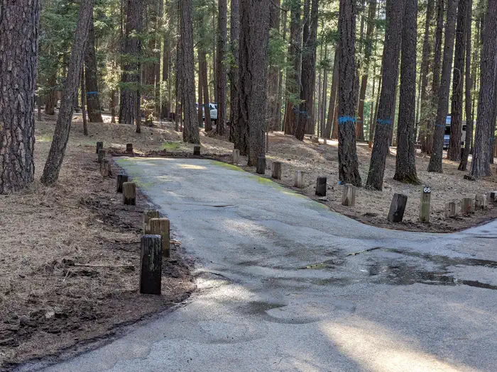
Overview Hayward Flat is one of the most popular campgrounds on Trinity Lake, offering excellent lake access and plenty of shade from Ponderosa pines and Douglas firs. Located on one of the best arms of the lake for water skiing, Hayward is favored by visitors interested in water sports. Relics from the area's Placer mining history are scattered throughout the campground, with interpretive signs providing explanations. Recreation A boat ramp and marina are located 3 miles away, but mooring may be available at the campground. Popular activities include power and non-motorized boating, fishing, swimming and water skiing. Anglers can fish for catfish, as well as a variety of bass, trout and salmon. Facilities The 98-unit family campground is comprised of 5 loops. The Dogwood and Elderberry loops provide lake views and informal mooring for boats. Every campsite has a paved spur, table and campfire ring. Most campsites also provide a bear-proof food storage locker. Additional amenities include flush toilets and drinking water. The site also offers an amphitheater with educational interpretive programs offered seasonally. Program dates and times will be posted at the campground. Natural Features The Shasta-Trinity is the largest national forest in California with a diverse landscape ranging from 1,000 to 14,162 feet. The 2.1 million acre forest encompasses five wilderness areas, hundreds of mountain lakes and 6,278 miles of streams and rivers. Trinity Lake sits at an elevation of 2,370 feet and is surrounded by the Trinity Alps. Black bears are frequently spotted in the area, as well as bobcats, mountain lions and a variety of bird species. Nearby Attractions The nearby town of Weaverville is listed on the National Register of Historic Places. This former mining town offers restaurants, shopping and self-guided walking tours.
From the managing agency.
Is HAYWARD FLAT free?
No. HAYWARD FLAT charges a fee.
How do I get to HAYWARD FLAT?
HAYWARD FLAT is at 40.8744, -122.7692. We do not hold written directions for this one, so navigate to the coordinates.
Nearby
SourceSource data is agency published. Last synced September 19, 2026. Community reports and photos are submitted by travelers and are not verified by the agency.
