
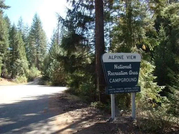
ALPINE VIEW CAMPGROUND
USFS · Campground · Fee
Fast facts
- Cost
- Fee charged
- Managed by
- USFS
- Type
- Campground
- Hours
- Open 24 hours/day
- Reservations
- fs.usda.gov
- Phone
- 530-275-8113
- Nearest dump station
- Old Station Dump Site · 71.8 mi
- Coordinates
- 40.8871, -122.7658
- Last verified
- September 19, 2026

About this place
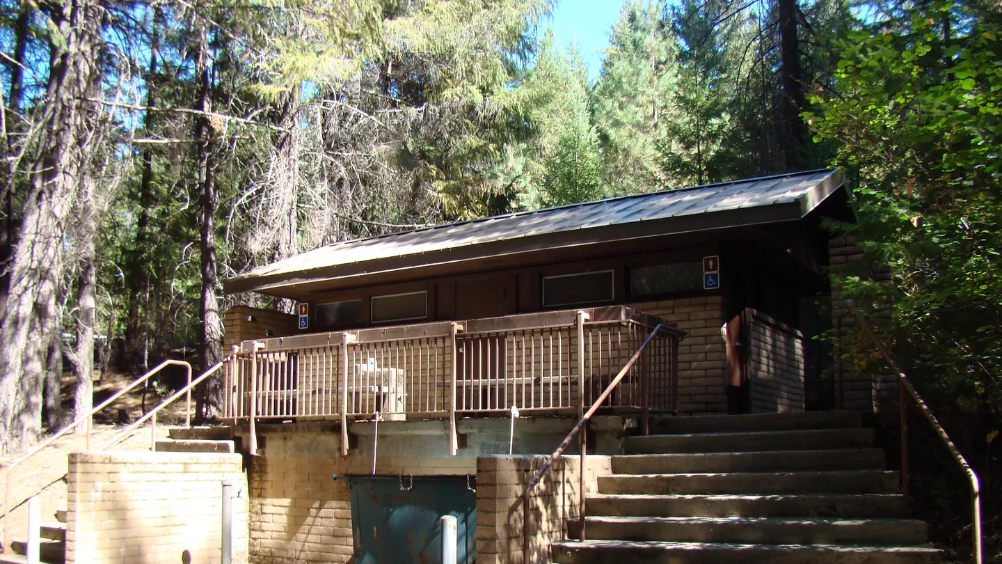
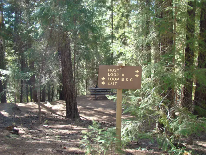
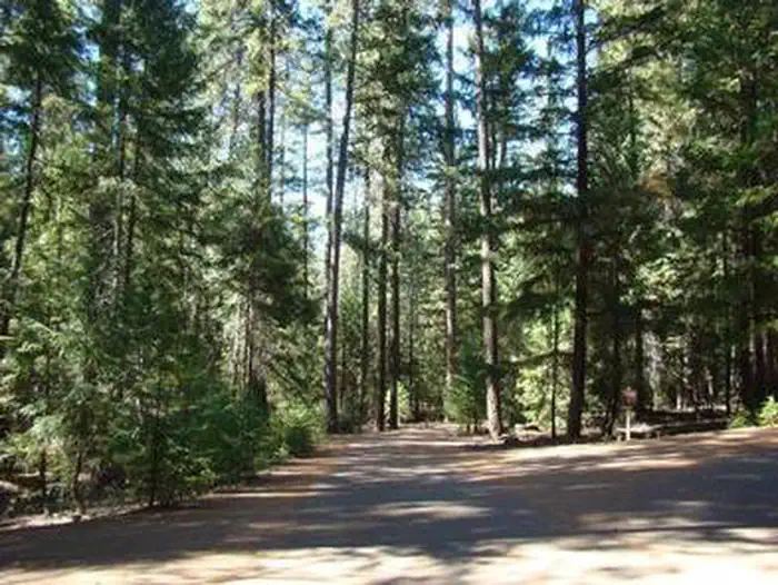
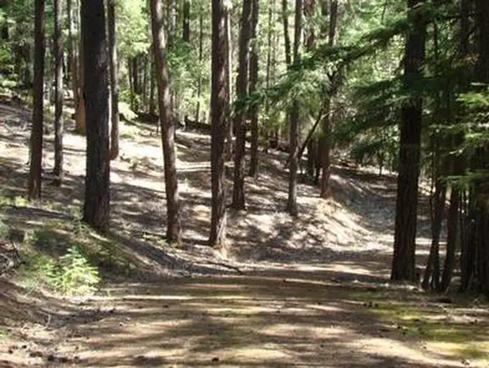
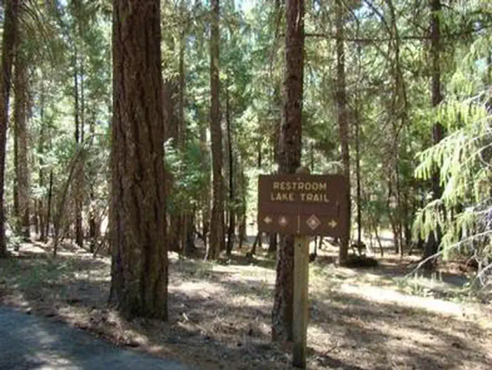
Overview Alpine View Campground is located in the Trinity Unit of the Whiskeytown-Shasta-Trinity National Recreation Area at an elevation of 2,400 feet. This facility is a great choice for children, the elderly and those with accessibility needs who require well-developed trails and campsites. Visitors enjoy a variety of recreational activities in a beautiful setting. Recreation The area offers excellent opportunities for fishing, boating and hiking around Trinity Lake. The campground is very popular with the boating public, as the Bowerman boat ramp is located a quarter-mile before the campground entrance. Anglers can fish for catfish, as well as different varieties of trout, salmon and bass. Hikers can access several trails in the area, including the 0.3-mile Lake Trail. Facilities This is a 53-unit family campground that offers several accessible campsites and three accessible restrooms with flush toilets. The campground features paved social areas, roads and spurs. The maximum vehicle length is 32 feet. Each campsite is furnished with a picnic table and campfire ring. Some of the campsites have bear-proof food storage lockers. Drinking water is provided. Natural Features This scenic campground has three loops (A, B and C) with sites that wind through a grove of Douglas fir and cedar with an understory of ferns. Some sites in Loops A and B have a view of Trinity Lake. Bears frequent the area, but a wide variety of wildlife may be seen in and around Trinity Lake.
From the USFS.
Is ALPINE VIEW CAMPGROUND free?
No. ALPINE VIEW CAMPGROUND charges a fee. It is managed by the USFS. Sites are reservable through fs.usda.gov.
How do I get to ALPINE VIEW CAMPGROUND?
From Weaverville, take Hwy 3 north for 22.5 miles. Turn right on Guy Covington Road for 2.4 miles to the campground.
Nearby
SourceData from the USFS. Last synced September 19, 2026. Community reports and photos are submitted by travelers and are not verified by the agency.
