
MINERSVILLE CAMPGROUND
USFS · Campground · Fee
Fast facts
- Cost
- Fee charged
- Managed by
- USFS
- Type
- Campground
- Hours
- Open 24 hours/day
- Reservations
- fs.usda.gov
- Phone
- 530-623-2121
- Nearest dump station
- Old Station Dump Site · 73.8 mi
- Coordinates
- 40.8517, -122.8114
- Last verified
- September 19, 2026
About this place
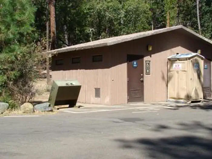
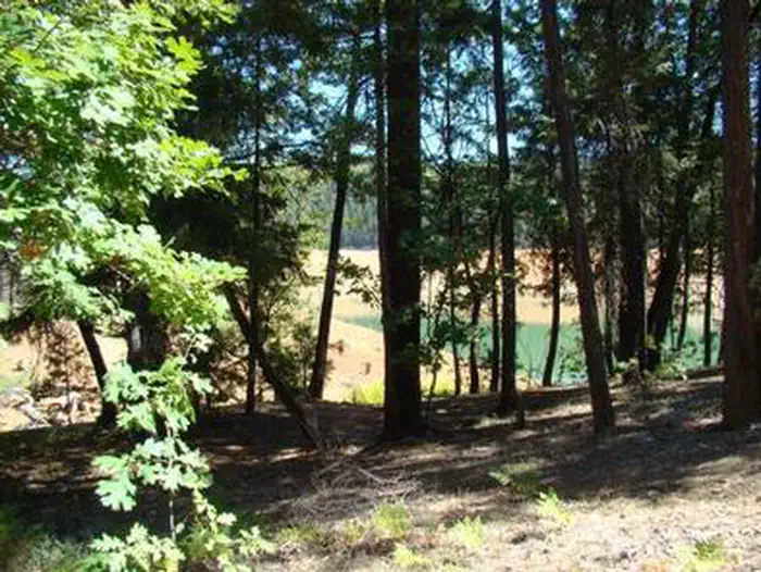
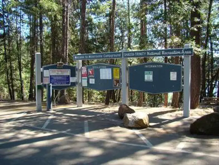
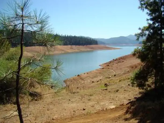
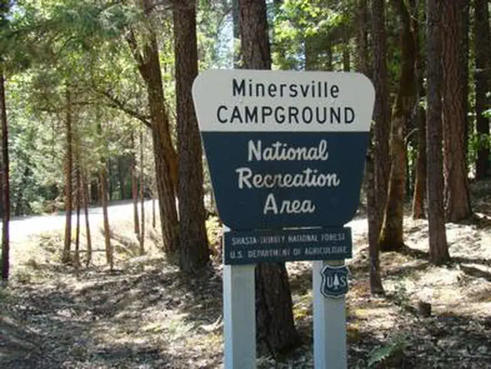
Overview This campground, located 17 miles north of Weaverville, CA, off Highway 2, is situated on the Stuart Fork Arm of Trinity Lake. Minersville is one of the more popular campgrounds on Trinity Lake due to its easy access to the lake and scenic views. At 2,400 foot elevation, it is nestled in a stand of mixed conifers and deciduous trees. Trinity Lake is one of three Forest Service-managed lakes in the Shasta-Trinity National Recreation Area, offering excellent opportunities for houseboating, water skiing, tubing and wakeboarding. Recreation The area offers excellent opportunities for fishing, kayaking, hiking and wildlife viewing. Directly adjacent to the campground is the Minersville Boat Ramp. Informal mooring of boats is possible off some of the campsites. Rainbow trout are abundant, and brown and brook trout are common. This is a good lake for a float tube and excellent fly fishing. The area offers wonderful wildlife viewing opportunities. Hikers can access the 4-mile Trinity Lakeshore Trail at nearby Clark Springs Campground. Facilities The first section of the campground is well-developed with paved, level parking aprons and amenities. The second section is mostly walk-in with good privacy between campsites, and more primitive with a wilderness feel. There are six walk-in campsites (four single, two double). In addition, there are two accessible campsites 8 & 4 . Sites have picnic tables and campfire rings with grills. Two flush toilets and one vault toilet are available. Drinking water is provided, and bear-proof containers are available. Showers are available at the neighboring Bushy Tail Campground. Natural Features Minersville Campground is noted for a "campground with a view." Many campsites are located on the bank of Trinity Lake with views of the Trinity Alps, noted for their scenic views and alpine environment. The Trinity Alps are situated within the Klamath Mountains, which lies between the Pacific Coast Ranges to the west and the Cascade Range farther to the east.
From the USFS.
Is MINERSVILLE CAMPGROUND free?
No. MINERSVILLE CAMPGROUND charges a fee. It is managed by the USFS. Sites are reservable through fs.usda.gov.
How do I get to MINERSVILLE CAMPGROUND?
From Weaverville, take Hwy 3 north for 15 miles. Turn right on Minersville/Brushtail Road for 1 miles.
Nearby
SourceData from the USFS. Last synced September 19, 2026. Community reports and photos are submitted by travelers and are not verified by the agency.
