
GRAYS MEADOWS
Campground · Fee not listed
Fast facts
- Cost
- Not listed. Check locally.
- Type
- Campground
- Phone
- 760-937-6070
- Coordinates
- 36.7689, -118.2950
- Last verified
- September 19, 2026
About this place
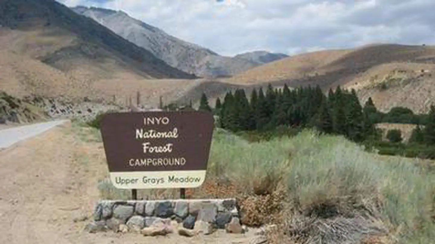
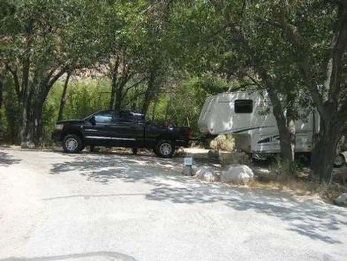
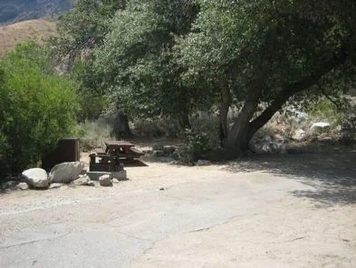
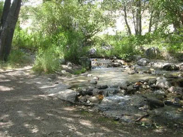
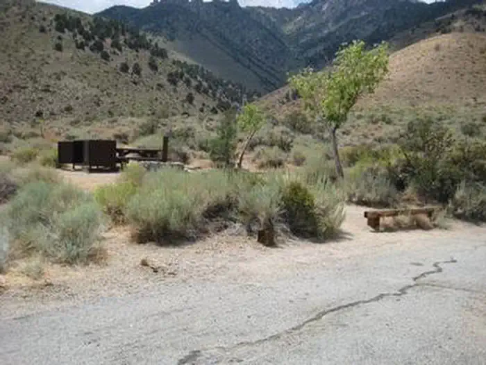
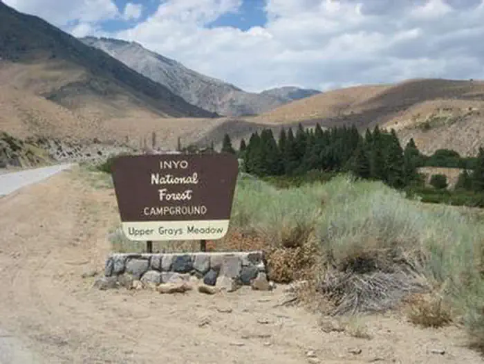
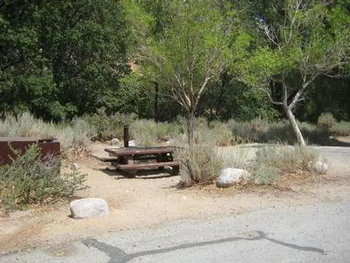
Overview Grays Meadows Campground is situated along Independence Creek in the Onion Valley area of the eastern Sierra Nevada Mountains. Its location on the creek and proximity to the rugged John Muir Wilderness make it a popular hub for hikers, anglers, spring skiers and snowboarders. Opening and closing dates may be dependent on weather conditions. Recreation Majestic mountain scenery and challenging trails draw campers to the Onion Valley area for hiking and horseback riding. The well-known and demanding Shepherd Pass Trail, which can be reached just west of Grays Meadows Campground, heads up to alpine lakes and the high peaks of the John Muir Wilderness. Independence Creek is regularly stocked with trophy-size rainbow trout. Anglers flock to the creek for its early trout fishing season, which starts the first weekend in March, ahead of much of the area. Facilities The facility consists of an upper and lower campground. The creek borders one side; sites 10, 12, 13, 14, 40, 41, 46 and 51 are closest to the water. Most of the campground is located in a large oak grove, providing shade. The area is frequented by bears so campers must store food in the bear-proof lockers provided on-site. Firewood is available for purchase at the campground. Natural Features Grays Meadows Campground offers a wandering creek, both sunny and shaded campsites and a high-desert landscape. It sits at an elevation 6,100 ft. and is bordered on the west by Mt. Williamson and Mt. Whitney, the highest peaks in the contiguous United States. The area is home to abundant wildlife, including black bear, mountain lions, mule deer, pine marten, pika and many species of fish and birds. Contact Info For facility specific information, please call (602) 726-1102. Nearby Attractions Campers can enter the John Muir Wilderness , a land of lofty snow-capped mountains, deep canyons and vast expanses of glacially carved terrain, via nearby trails.
From the managing agency.
Is GRAYS MEADOWS free?
We do not have a fee on record for GRAYS MEADOWS. Confirm the cost locally before you go.
How do I get to GRAYS MEADOWS?
GRAYS MEADOWS is at 36.7689, -118.2950. We do not hold written directions for this one, so navigate to the coordinates.
Nearby
- Grays Meadow Campground1.0 mi
- Onion Valley Campground2.5 mi
- ONION VALLEY2.8 mi
- WHITNEY PORTAL12.9 mi
- Whitney Portal Campground12.9 mi
- Whitney Portal Group Campground12.9 mi
- Lone Pine Campground12.9 mi
- Mt. Whitney Trailhead Ravine Campground12.9 mi
No other services within 50 mi on the record.
SourceSource data is agency published. Last synced September 19, 2026. Community reports and photos are submitted by travelers and are not verified by the agency.
