
GIANT GAP
Campground · Fee not listed
Fast facts
- Cost
- Not listed. Check locally.
- Type
- Campground
- Phone
- 530-367-2224
- Nearest dump station
- Sugar Pine Dump Station · 1.1 mi
- Nearest water fill
- Indian Creek Camp Ground-Potable Water · 60.5 mi
- Coordinates
- 39.1389, -120.7922
- Last verified
- September 19, 2026
About this place
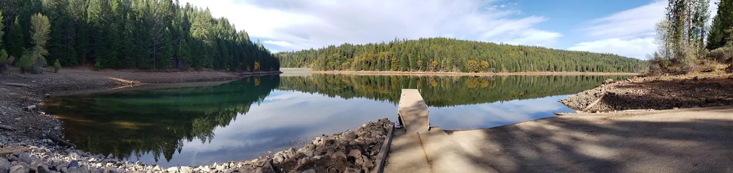
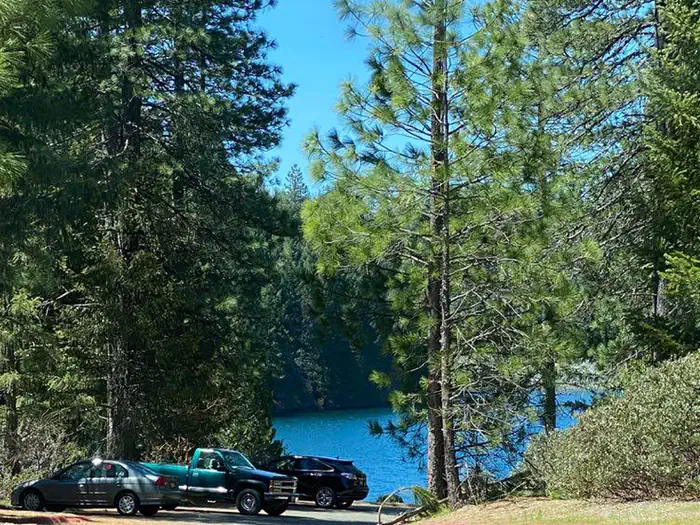
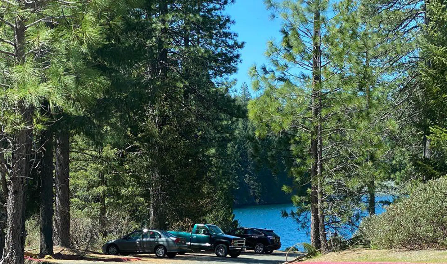
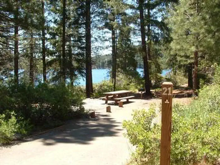
Overview Giant Gap Campground is located on the north shore of Sugar Pine Reservoir, in the Tahoe National Forest. It is just 15 miles from Foresthill. Visitors enjoy the surrounding area for its fishing, canoeing, OHV and hiking opportunities. Recreation Fishing, canoeing, swimming and boating are popular activities on the reservoir. A paved, non-motorized trail circles the campground and connects to the day use area and Shirttail Creek Campground. The North Fork of the American River is nearby, with additional fishing and swimming. Many miles of hiking and off-road vehicle trails are in the surrounding area. Facilities The campground offers several single- and double-family campsites, a few of which are accessible. Picnic tables, campfire rings and grills are provided, as are vault toilets and drinking water. Firewood is available for purchase from the host. Natural Features The campground and the adjacent 160-acre Sugar Pine Reservoir are situated at an elevation of 3,600 feet. The campground is situated in stands of cedar and ponderosa pine trees. Summertime temperatures are hot during the day and cool at night.
From the managing agency.
Is GIANT GAP free?
We do not have a fee on record for GIANT GAP. Confirm the cost locally before you go.
How do I get to GIANT GAP?
GIANT GAP is at 39.1389, -120.7922. We do not hold written directions for this one, so navigate to the coordinates.
Nearby
SourceSource data is agency published. Last synced September 19, 2026. Community reports and photos are submitted by travelers and are not verified by the agency.
