
Carberry Group Campground
Campground · Fee
Fast facts
- Cost
- Fee charged
- Type
- Campground
- Phone
- 541-899-9220
- Nearest dump station
- Aspen Point Dump Station · 54.9 mi
- Coordinates
- 42.0249, -123.1652
- Last verified
- September 19, 2026
About this place
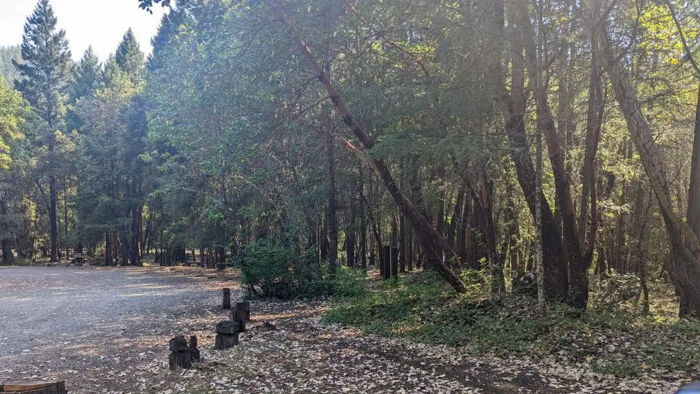
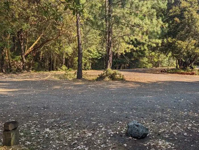
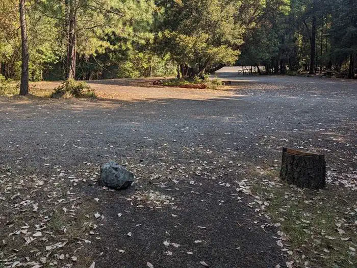
Overview This facility is a Group/ Facility Campsite, whereby you reserve the ENTIRE facility for your use. You get the gate code and have a HUGE parking lot behind a locked gate with 11 campsites. Some near parking lot some close by nestled against Cooper Creek. Close walk to river access which goes to Applegate Lake. Open year round. Perfect for RV's, campers etc. Great spot to set up camp for hunting, fishing parties etc. Recreation Creekside camping, with easy access to Applegate Lake and surrounding wilderness. This campsite is used for hunting groups, large gatherings of all types as well as small groups. Facilities The campground is LOCKED. Please check-in at Hart Tish Park General Store to get the key for the campground. Forest Service vault toilets. Fire rings, Picnic tables. Close to Cooper Creek and walk to river access to Applegate Lake. Natural Features Creekside camping, with easy access to Applegate Lake and surrounding creeks and river. Copper creek runs through part of this campground. Nearby Attractions Applegate Lake, Jacksonville, Britt Festival, Hunting and fishing, vineyards, wilderness, hiking, Bigfoot Trap....
From the managing agency.
Is Carberry Group Campground free?
No. Carberry Group Campground charges a fee.
How do I get to Carberry Group Campground?
Carberry Group Campground is at 42.0249, -123.1652. We do not hold written directions for this one, so navigate to the coordinates.
Nearby
SourceSource data is agency published. Last synced September 19, 2026. Community reports and photos are submitted by travelers and are not verified by the agency.
