
HART-TISH PARK at APPLEGATE LAKE
Campground · Fee not listed
Fast facts
- Cost
- Not listed. Check locally.
- Type
- Campground
- Phone
- 5418999220
- Nearest dump station
- Aspen Point Dump Station · 51.6 mi
- Coordinates
- 42.0547, -123.1144
- Last verified
- September 19, 2026

About this place
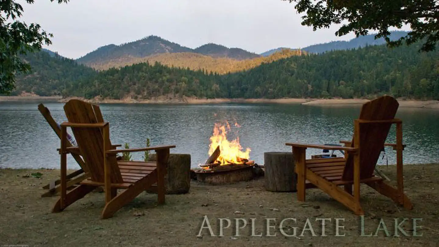
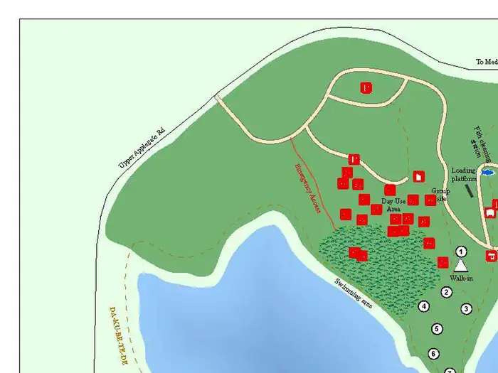
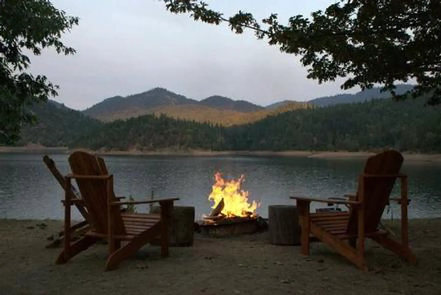
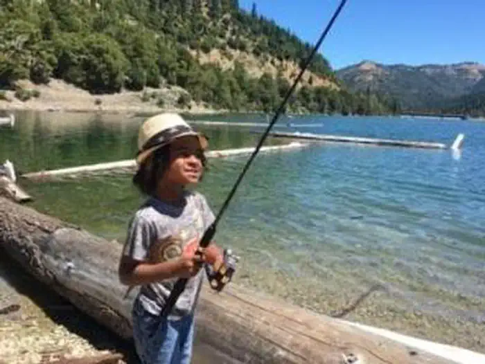
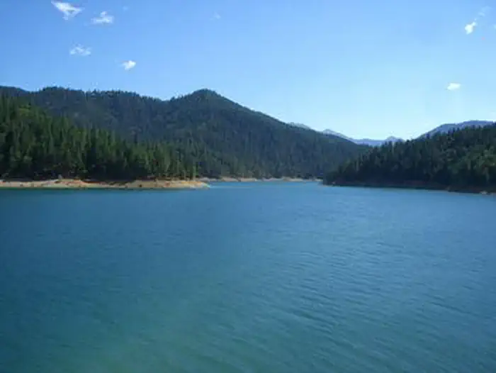
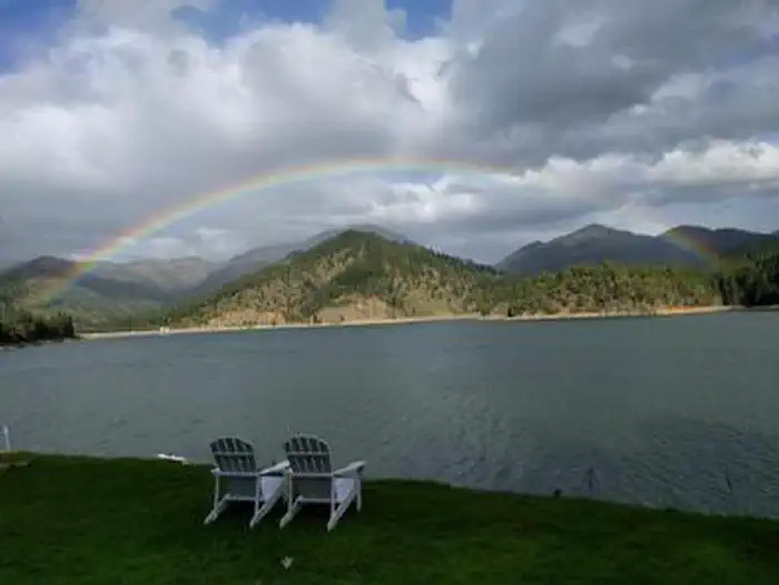
Overview Located in southwest Oregon in the Rogue River-Siskiyou National Forest, Hart-Tish Park is surrounded by a variety of landscapes, boasting nearby volcanic peaks, rivers and old-growth forests. Hart-Tish Park offers several acres of beautifully groomed lawn sloping down to the shores of Applegate Lake. Visitors can spot the peaks of the majestic Red Buttes Wilderness while looking south over the lake. General Store with lengthy nonalcoholic drink selection w/no sugar drinks as well, large snack selection as well as camping, fishing, outdoor amenities, worms, ICE CREAM, ice and more sold. Boat Ramp. Fish Cleaning Station. Stand up paddleboard and kayak rentals. Bathrooms. Truck with trailer and car parking. Camping and dry RV sites all with easy access to the lake. Recreation Hart-Tish Campground sits on the shores of Applegate Lake, a popular recreation lake located north of the Red Buttes Wilderness Area. Visitors enjoy swimming, cycling, boating, canoeing, kayaking, paddleboarding, world renown fishing and hiking the various trails near the lake. There is a trail that goes 18.5 miles around the lake, with two short sections that are back on the road, as well as various trails close to the lake that are popular with mountain bikers due to the trails and choices of climbs having trails for every level. Collins Mountain Trail, named for the family of Freeman and Sophia (Lewis) Collings, sisters who moved to the area in the mid-1870s from the Forest Creek/Kanaka Flat area, begins at the Hart-Tish Park picnic area. The trail crosses Upper Applegate Road and drops down to Grouse Creek, where it passes an abandoned miners' cabin and several mines, as well as an inactive Bigfoot trap. Leaving Grouse Creek, the trail climbs steeply for one mile to the ridge top, gaining 1,000-foot elevation, and begins a long traverse of the western slope of Collins Mountain. Panoramic views of Applegate Lake and the Siskiyou Crest are seen at several locations along the trail. The inactive Bigfoot trap, found at the beginning of the trail, was built in 1974 by the North American Wildlife Research Team. The trap was inspired by a miner who lived near the Applegate River who claimed to have found 18-inch-long, human-like tracks in his garden. The organization operated the trap, keeping it baited with carcasses for six years, but caught only bears and a hiker. Trails and lake activities are plentiful. Facilities Hart-Tish Campground has seven traditional tent campsites and eight lakeside RV parking spots. All tent campsites are a short walk in of approximately 75 yards, with carts provided for transporting gear. The RV sites are a sectioned-off portion of the day-area use parking. The RV sites back-up directly to the lake shoreline. It's a beautiful setting, but there may be day-use car traffic in close proximity to the boat launch area. RV campers are allocated two parking spots to help accommodate slide-outs and extra gear. Drinking water and flush toilets are available, as well as an on-site General Store. Kayak and Paddle Board rentals are available at $45 for 3-hrs or $60 all-day. This is also a boat ramp as well as a fish cleaning station offered. Please note, GENERATORS ARE ONLY ALLOWED TO OPERATE FROM 10 AM TO 12 NOON AND FROM 4 PM TO 6 PM in order to keep the peace and quiet people visit here for. Please note, there is a two-night minimum when you desire to reserve a Friday or Saturday night. Please Note: There is NO INTERNET service or cell coverage at the Lake. Wi-Fi is available to purchase for $30 for 12 hours. Natural Features The unique character of the landscapes comprising the area has led to the designation of over 340,000 acres of the forest as wilderness, and over 200 miles of streams as National Wild and Scenic Rivers. The forest itself is composed of two distinct geological provinces, the Cascade Range and the Siskiyou Mountains. The Cascade Range is dominated by snow-capped volcanic peaks like the 9,495-foot Mt. McLoughlin, located within the Sky Lakes Wilderness. The Siskiyou area embodies the most complex and treasured plant communities in the Pacific Northwest. World-class wild rivers, biological diversity, remarkable fisheries and complex watersheds all define the Siskiyou. Diverse landscapes provide habitat for a wide range of wildlife, from spotted owls and bull elk to salamanders and sandhill cranes. Nearby Attractions The nearby Rogue River National Recreation Trail, stretching 40 miles between Grave Creek and Big Bend, offers some of southwestern Oregon's most scenic landscapes and rewarding hiking experiences. This hiking-only trail follows the north bank of the Rogue River as it winds its way toward the Pacific Ocean. The historic town of Jacksonville has an endless amount of activities for adults as well as children not to mention The Incredible Venue the Britt Fest. Visitors enjoy Crater Lake National Park and learning about its unique natural and cultural history. At 1,943 feet deep, Crater Lake is the deepest lake in the United States and one of the ten deepest lakes in the world.
From the managing agency.
Is HART-TISH PARK at APPLEGATE LAKE free?
We do not have a fee on record for HART-TISH PARK at APPLEGATE LAKE. Confirm the cost locally before you go.
How do I get to HART-TISH PARK at APPLEGATE LAKE?
HART-TISH PARK at APPLEGATE LAKE is at 42.0547, -123.1144. We do not hold written directions for this one, so navigate to the coordinates.
Nearby
SourceSource data is agency published. Last synced September 19, 2026. Community reports and photos are submitted by travelers and are not verified by the agency.
