
CAMP 4 GROUP CAMPGROUND
Campground · Fee not listed
Fast facts
- Cost
- Not listed. Check locally.
- Type
- Campground
- Phone
- 530-964-2184
- Nearest dump station
- Medicine Lake Dump Station · 32.1 mi
- Coordinates
- 41.2339, -121.9839
- Last verified
- September 19, 2026
About this place
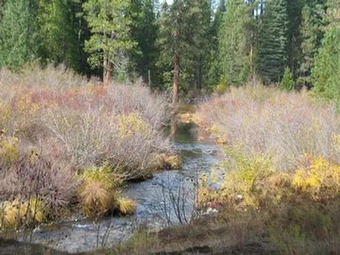
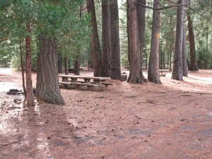
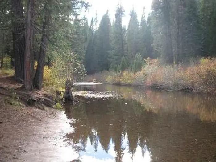
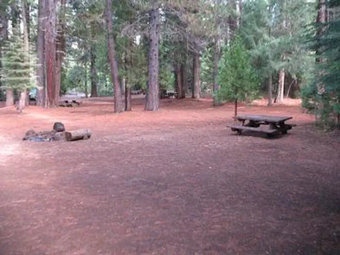
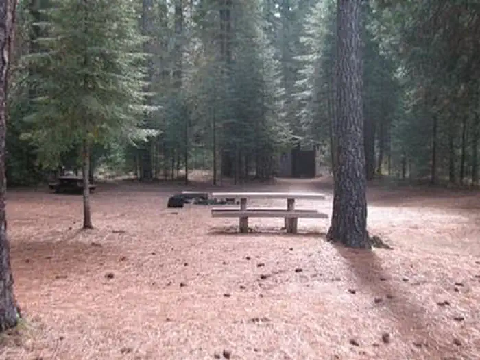
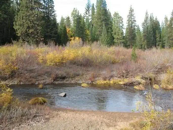
Overview This group site is nestled in the Shasta-Trinity National Forest on the Upper McCloud River, popular for its three stunning waterfalls. Camp 4 is typically open from mid-spring through mid-fall, offering primitive accommodations near a variety of recreational activities and magnificent scenery. Note: This is not Camp 4 in Yosemite National Park. Learn more about the Camp 4 daily lottery in Yosemite National Park. Recreation During the late spring, summer and early fall, the McCloud River is the most popular attraction in this area, offering fishing, swimming, camping, kayaking and plenty of photography opportunities. The Upper McCloud River, located from the point the river dumps into the McCloud Reservoir to its source, is a popular spot for trout fishing. Anglers can find rainbow, brook and McCloud River red band trout. The Lower McCloud River, which begins below the dam at the McCloud Reservoir, offers many additional angling opportunities as well. The nearby McCloud River Falls Trail offers hikers the opportunity to view all 3 of the waterfalls, as well as take in breathtaking views of Mt. Shasta. For hikers looking to cool off in the summer heat, the Middle Falls and Lower Falls both offer popular swimming holes, for those brave enough to take on the cool waters. Facilities Vehicle access to Camp 4 is mostly on paved roads, but the last 1/4 mile is gravel. The facility can accommodate 10 vehicles and up to 30 guests, with a maximum of 10 tents plus 5 RV or motor homes. The campground has no water or electricity, but there are picnic tables, vault toilets and campfire rings provided, as well as trash collection-visitors are expected to bring their own trash bags. Water is available at the McCloud Ranger Station. Natural Features The Shasta-Trinity encompasses 2.1 million acres with over 6,278 miles of streams and rivers. It ranges from 1,000 ft. in elevation at Shasta Lake, to the spectacular Mt. Shasta with an elevation of 14,179 feet. The Shasta-Trinity includes portions of 5 designated Wilderness Areas: Castle Crags, Chanchelulla, Mount Shasta, Trinity Alps and Yolla Bolly-Middle Eel. It also sits among 7 major geographic and botanic regions: the Coast Range, Klamath Mountains, Willamette Valley, te Cascade Mountains, the High Desert, the Sierra Nevada Mountains and the Central Valley. The Upper McCloud River features the Upper, Middle and Lower Falls, which cascade over basalt lava flows, impressing visitors and kayakers alike. Contact Info For local information, please call (530) 964-2184 or call (530) 440-4105 for general information. Nearby Attractions The nearest services and amenities are 9 miles from Camp 4 in McCloud, a historic mill town that offers opportunities for golfing, eating out, shopping and sightseeing. Throughout Shasta-Trinity National Forest, there are access points for the Pacific Crest Trail, a 2,663-mile trail stretching from Mexico to Canada. Charges & Cancellations A $10.00 service fee will apply if you change or cancel your reservation. Late cancellations are subject to additional fees. For full details see NRRS Reservation Policy
From the managing agency.
Is CAMP 4 GROUP CAMPGROUND free?
We do not have a fee on record for CAMP 4 GROUP CAMPGROUND. Confirm the cost locally before you go.
How do I get to CAMP 4 GROUP CAMPGROUND?
CAMP 4 GROUP CAMPGROUND is at 41.2339, -121.9839. We do not hold written directions for this one, so navigate to the coordinates.
Nearby
SourceSource data is agency published. Last synced September 19, 2026. Community reports and photos are submitted by travelers and are not verified by the agency.
