
FOWLERS CAMPGROUND
Campground · Fee not listed
Fast facts
- Cost
- Not listed. Check locally.
- Type
- Campground
- Phone
- 530-964-2184
- Nearest dump station
- Medicine Lake Dump Station · 32.9 mi
- Coordinates
- 41.2449, -122.0233
- Last verified
- September 19, 2026
About this place
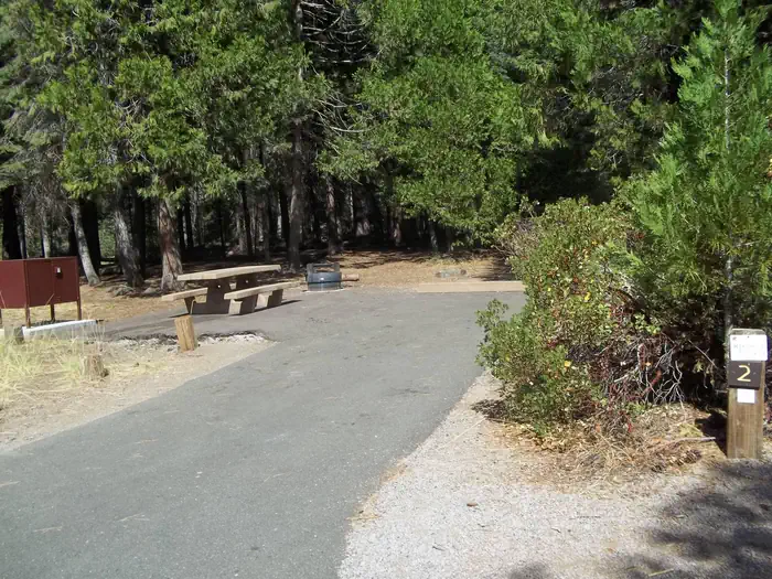
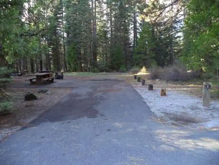
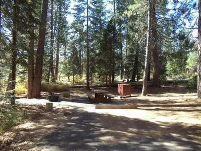
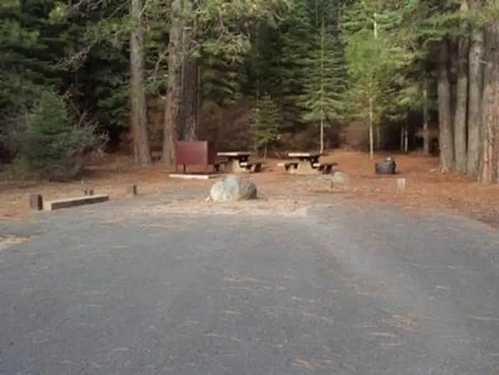
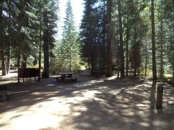
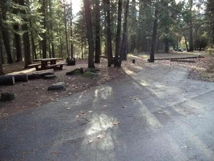
Overview Fowlers Campground is located on the Upper McCloud River five miles east of McCloud, California. The campground is nestled in a mixed conifer and oak woodland. The campground offers paved parking spurs, running water and vault restrooms. Recreation A river-side trail from the campground provides access to the falls. It is approximately three miles round trip to see all three. Swimming and fishing are other popular activities. This section of river has no special restrictions for fishing. The McCloud River Loop, a paved road approximately 10 miles in length provides access to the Middle Falls and Upper Falls parking lots and overlooks if you do not wish to hike the trail. Facilities The campground has 35 regular campsites and two double campsites with tables, fire-rings, vault toilets and piped drinking water. Some sites are equipped with bear resistant food storage lockers. Sites are suitable for tents and mid-sized RVs or trailers. Large RVs are not recommended. Campground is typically staffed with a resident host. Natural Features Fowlers Campground is located on the eastside of majestic Mt. Shasta (14,179 foot summit) at an elevation of 3,300 feet. This area is at the southern tip of the Cascade Mountain Range. The area hosts abundant botanical and wildlife species. This campground is mostly known for the nearby McCloud River waterfalls. The McCloud Falls can be accessed via the McCloud River Trail or by road. The waterfalls vary in height from 15 to 50 feet. Nearby Attractions The Lower, Middle and Upper McCloud water falls, Lakin Dam Fishing Area, Cattle Camp Swimming Hole, McCloud Reservoir, Medicine Lake Highlands and the towns of McCloud (10 mins.) and Mt. Shasta (20 mins.) are nearby. Charges & Cancellations A $10.00 service fee will apply if you change or cancel your reservation. Late cancellations are subject to additional fees. For full details see NRRS Reservation Policy
From the managing agency.
Is FOWLERS CAMPGROUND free?
We do not have a fee on record for FOWLERS CAMPGROUND. Confirm the cost locally before you go.
How do I get to FOWLERS CAMPGROUND?
FOWLERS CAMPGROUND is at 41.2449, -122.0233. We do not hold written directions for this one, so navigate to the coordinates.
Nearby
SourceSource data is agency published. Last synced September 19, 2026. Community reports and photos are submitted by travelers and are not verified by the agency.
