
THUMB BUTTE
Campground · Fee not listed
Fast facts
- Cost
- Not listed. Check locally.
- Type
- Campground
- Phone
- 1 (877) 444-6777
- Nearest dump station
- Woods Canyon Dump Station · 91.6 mi
- Coordinates
- 34.5522, -112.5214
- Last verified
- September 19, 2026
About this place
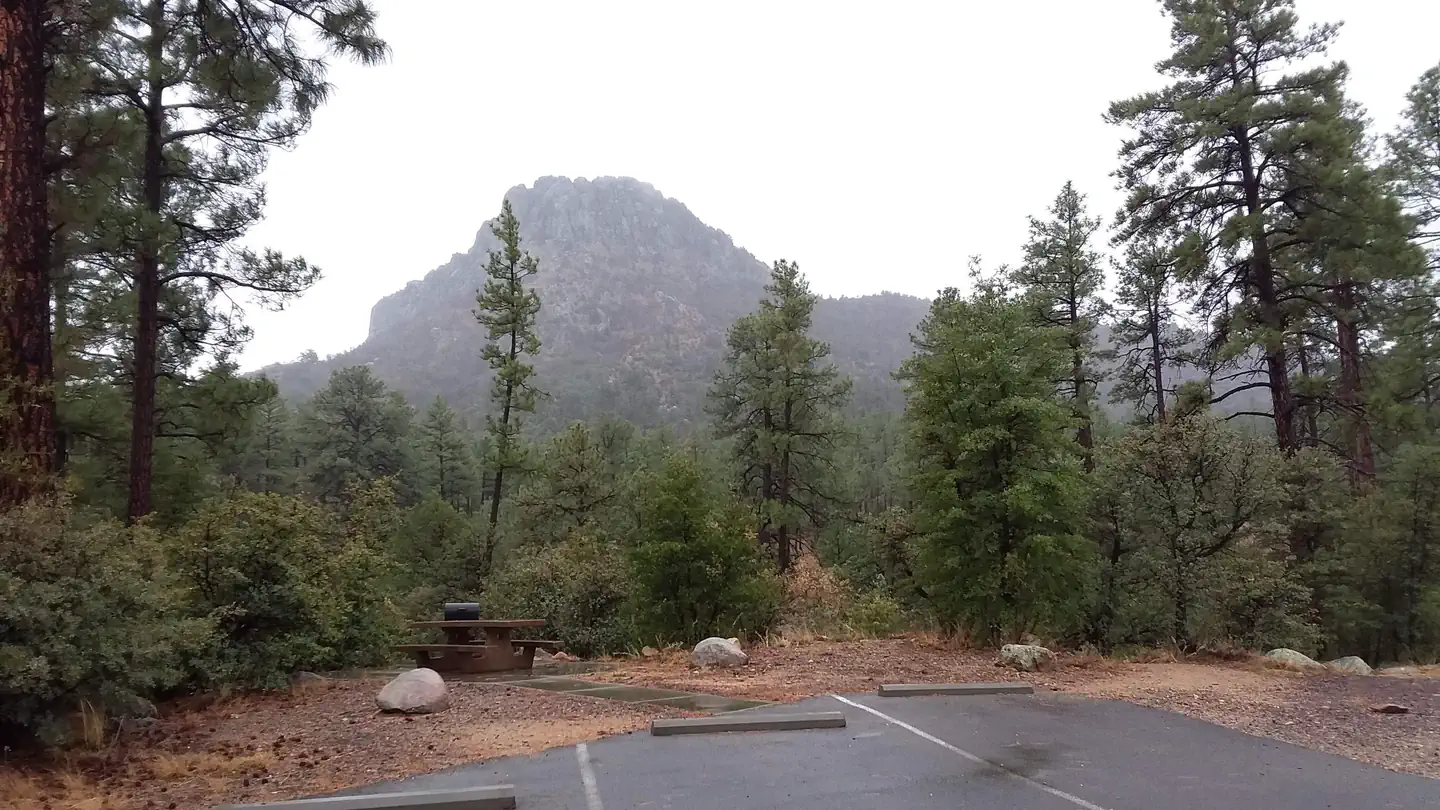
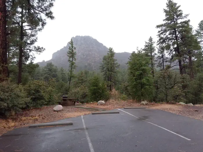
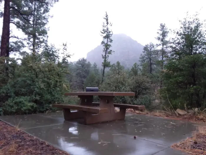
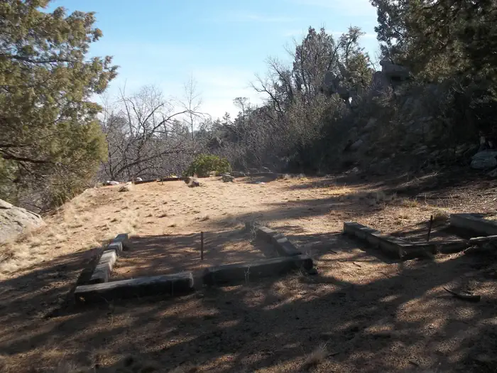
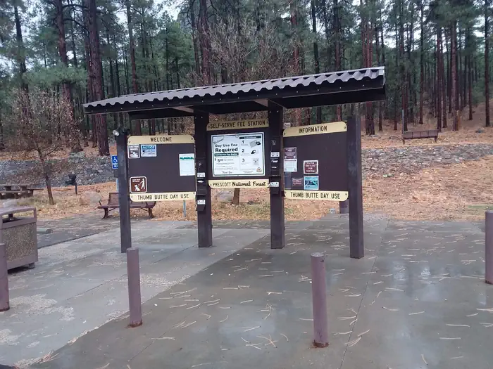
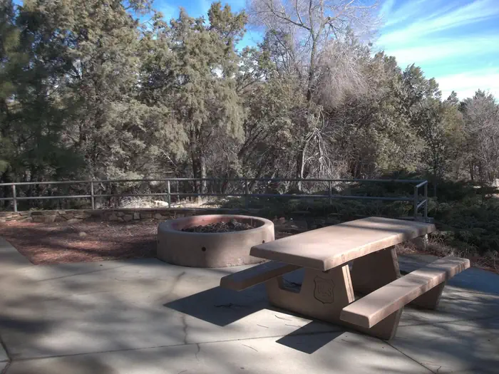
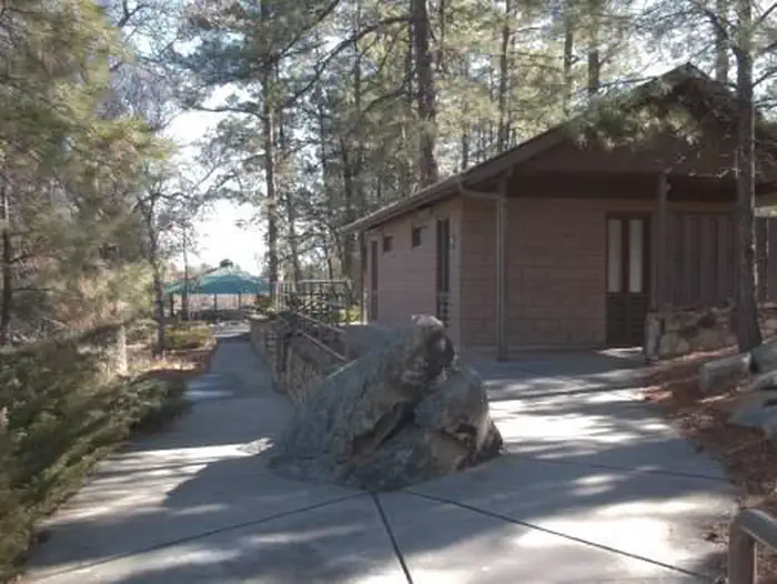
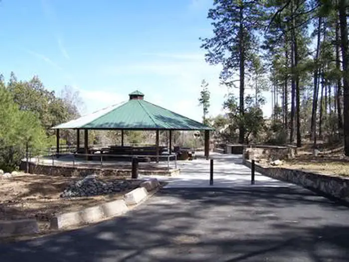
Overview Thumb Butte Group Picnic Area is a convenient place for groups of up to 100 people to enjoy a day outdoors. The site is located under the towering pines of Prescott National Forest about 4 miles west of Prescott, and provides easy access to a variety of trails and amenities. It offers a year-round pavilion and a quiet, shaded setting for luncheons, church gatherings, family picnics and other large functions. To make reservations click on the availability button to the right to book this site or call 1 (877) 444-6777. For general Thumb Butte site questions contact the Bradshaw Ranger District at 1 (928) 443-8000. Recreation The Thumb Butte area is popular for hiking, mountain biking, rock climbing and horseback riding. Many trails can be found within a short walk or drive, including two that ascend Thumb Butte. Horseshoe pits are available at the picnic site; visitors interested in playing should bring their own horseshoes. Facilities The picnic site is equipped with 12 picnic tables, 1 serving table, a covered picnic shelter, four charcoal grills and one campfire ring. There is designated parking (gated area) for 26 standard size vehicles. Guests have the convenience of restrooms with flush toilets and drinking water. The area is lighted after dark, and electric outlet(s) (20 amp maximum) are provided. Trash collection is limited and guests are encouraged to pack out their own trash. Natural Features The facility is set in a ponderosa pine forest at an elevation of 5,700 feet, at the base of the Thumb Butte rock formation and adjacent to Miller Creek. The forest is home to a wide variety of wildlife, including deer, mountain lions, bobcats, coyotes, foxes, rabbits, lizards, snakes and birds. Summer temperatures are pleasant, and winter is cool to cold with occasional snow. Afternoon thunderstorms are possible from late June through mid-September. Nearby Attractions Restaurants, shopping, historic sites and many amenities are nearby in the historic town of Prescott.
From the managing agency.
Is THUMB BUTTE free?
We do not have a fee on record for THUMB BUTTE. Confirm the cost locally before you go.
How do I get to THUMB BUTTE?
THUMB BUTTE is at 34.5522, -112.5214. We do not hold written directions for this one, so navigate to the coordinates.
Nearby
SourceSource data is agency published. Last synced September 19, 2026. Community reports and photos are submitted by travelers and are not verified by the agency.
