
POTATO PATCH CAMPGROUND
USFS · Campground · Fee
Fast facts
- Cost
- Fee charged
- Managed by
- USFS
- Type
- Campground
- Hours
- May 1 - October 31
- Reservations
- recreation.gov
- Phone
- (928) 567-4121 DURING OFFICE HOURS 0800 -0430 M-F
- Nearest dump station
- Woods Canyon Dump Station · 74.1 mi
- Coordinates
- 34.7094, -112.1537
- Last verified
- September 19, 2026

About this place
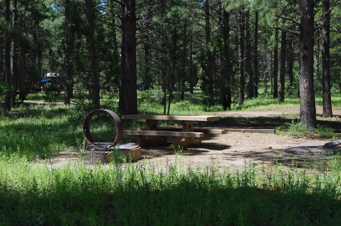
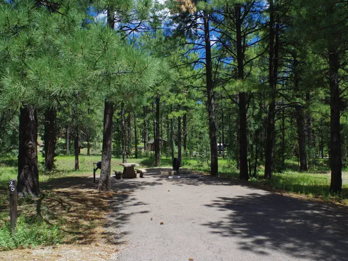
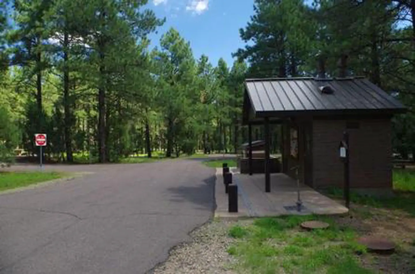
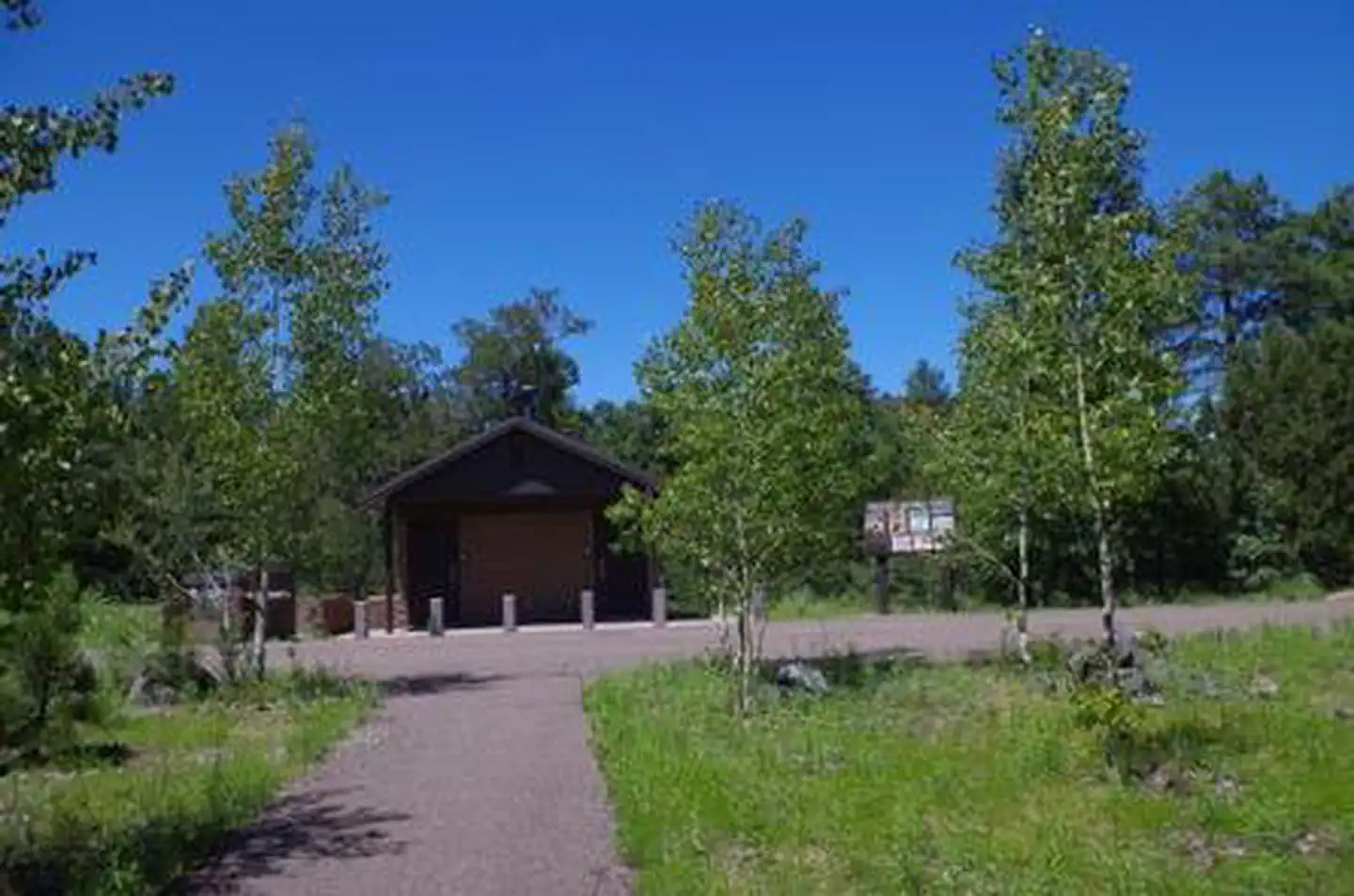
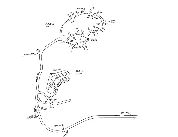
Overview Campers looking for some peace and quiet will find this relaxing campground offers cool summertime temperatures and easy access from scenic Hwy 89A in central Arizona. The campground is located at 7,200 ft. in elevation between Mingus Mountain and Woodchute Wilderness in a beautiful ponderosa pine forest. To make reservations click on the availability button to the right to book this site or call 1 (877) 444-6777. For general campground questions contact the Verde Ranger District at 1 (928) 567-4121. Recreation Wildlife viewing, hiking, scenic driving and off-highway scenic driving are popular in the area. The wanderer in you will appreciate your close proximity to Yeager Canyon Trail #28 and Woodchute Trail #102, a rewarding hike into the 5,923 acre Woodchute Wilderness and view from the top of Woodchute Mountain. Access to a segment of The Great Western Trail is located adjacent to the campground. Mingus Lake is just across the highway and stocked for fishing. The Verde River in the valley below offers rafting, kayaking and bird watching. Facilities Each site at Potato Patch Campground features a picnic table, paved parking, a level tent pad (non-electric sites only), and an elevated fire ring with grill. Accessible sites have an additional pedestal grill. Loop B: All twelve sites have electrical hookups (30 amp). Tents are not permitted. See site map under photos. Three composting toilets, garbage service, and potable water (not for filling RV tanks) are available to all campers. Natural Features This mountain top campground offers a cool respite from hot Arizona summers -- a classic forest setting for a memorable camping adventure. Connect with your inner naturalist and observe the wildlife and wildflowers found in abundance around the campground. Interesting geology can be found in any direction with many significant rock formations, canyons and mountains within easy driving distance from Potato Patch. Nearby Attractions The historic and eclectic mining town of Jerome is just down the steep, winding mountain road, with unique shopping and dining opportunities and Jerome State Historic Park. Tuzigoot National Monument, an ancient pueblo, and the lively historic towns of Clarkdale and Cottonwood with museums and basic services are just over 9 miles away. Hayfield Draw OHV Area is located on Highway 260 between Cottonwood and Camp Verde for a unique OHV recreational experience. The towns of Prescott Valley and Prescott are 20 miles away and provide a wide array of services, shopping and dining.
From the USFS.Official page
Is POTATO PATCH CAMPGROUND free?
No. POTATO PATCH CAMPGROUND charges a fee. It is managed by the USFS. Sites are reservable through recreation.gov.
How do I get to POTATO PATCH CAMPGROUND?
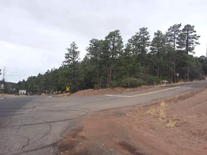
From Prescott, take U.S. Highway 89 north past Granite Dells, turn right on Hwy 89A and travel approximately 20 miles to the top of Mingus Mountain. Potato Patch Campground entrance will be to your left (across from the Summit Picnic Area) on Forest Road 106. From the Verde Ranger Station in Camp Verde, travel approximately 20 miles northwest on Hwy 260 (toward Cottonwood). Turn left on Hwy 89A. Stay on Hwy 89A (watch for a second left turn), then follow the paved and winding mountain road through the town of Jerome and up to the summit on Mingus Mountain. The turn-off to Potato Patch is on the right, across from the Summit Picnic Area.
What are the rules at POTATO PATCH CAMPGROUND?
Quiet hours between 10 p.m. and 6 a.m. Campfires in developed fire pits only Fireworks are prohibited Dogs must be on leash OHV/ATV use prohibited in the campground Maximum length of stay: 14 days
Nearby
SourceData from the USFS. Last synced September 19, 2026. Community reports and photos are submitted by travelers and are not verified by the agency.
