
FRAZIER HORSE CAMPGROUND
Campground · Fee not listed
Fast facts
- Cost
- Not listed. Check locally.
- Type
- Campground
- Phone
- TONTO BASIN RANGER DISTRICT (602) 225-5395
- Nearest dump station
- Woods Canyon Dump Station · 46.4 mi
- Coordinates
- 33.6668, -111.1299
- Last verified
- September 19, 2026
About this place
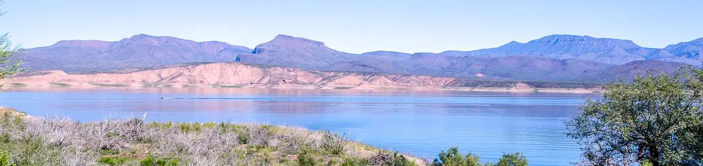
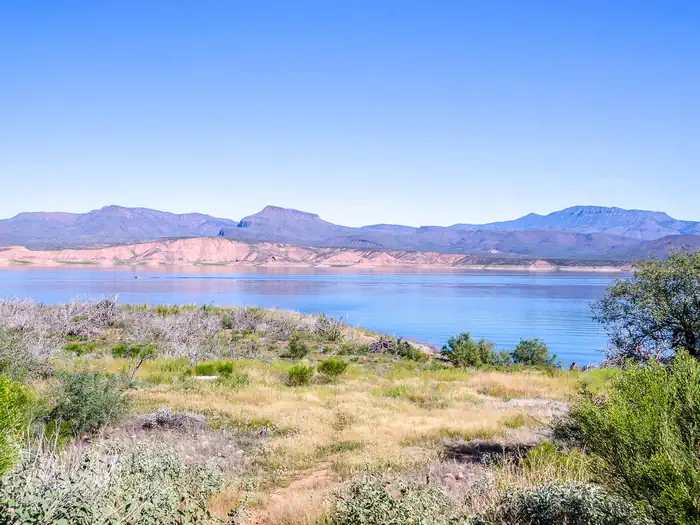
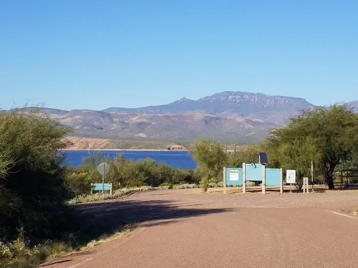
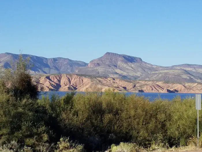
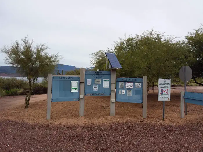
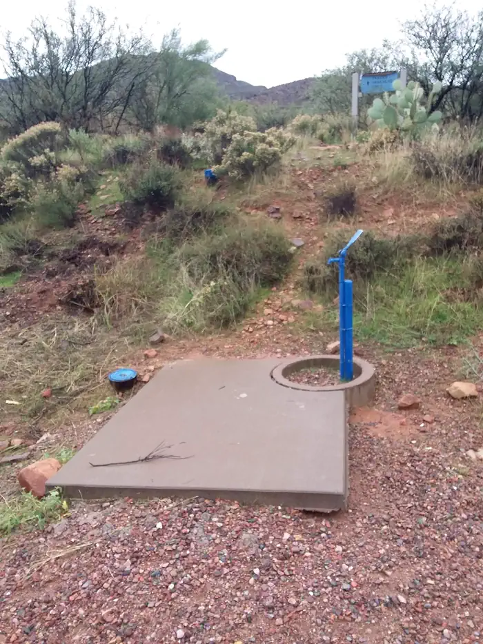
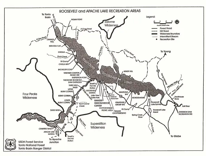
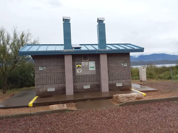
Overview The Frazier Horse Campground is nestled into a Sonoran desert landscape at Roosevelt Lake, one of Arizona's most outstanding water-based recreation areas. The lake is the largest of four reservoirs within a 2-hour drive of Phoenix and Tucson. The facility has the first lakeside horse camp built in the Southwestern Region of the Forest Service. From the recreation site, trail users access the Arizona Trail, an 800-mile (1,287-kilometer), non-motorized trail. Recreation Bring your horses and head out to the Arizona Trail right from camp via the Cottonwood trail. There are many other trails in the area but they require trailering your horses. Facilities Frazier Horse Campground is an equestrian campground and offers a vault toilet, horse drinker, potable water hydrant, and horse corrals. Natural Features Roosevelt Lake was dedicated by President Theodore Roosevelt in 1911 and boasts 112 miles of shoreline and peaceful coves. When full, the lake provides 21,500 acres of surface water. Frazier Horse Campground is situated near the lake’s shoreline. Views of the blue water and sunsets against the Sierra Ancha, Salome, and Superstition Wilderness areas are a sight that keep many visitors coming back year after year. The area around Frazier Horse Campground is often alive with abundant wildlife such as mule deer, coyotes, geese, fox, javalina, and the occasional bald eagle. Nearby Attractions Discover two nearby National Scenic Byways (AZ Hwy 88 Apache Trail and AZ Hwy 288 Spines to Pines Highway). Local areas to consider around Frazier Horse Campground include Roosevelt Dam, Tonto National Monument, the Arizona Trail, endless miles of jeep trails, the Towns of Payson and Globe, and the Superstition, Sierra Ancha, and Four Peaks Wilderness areas. Don't forget to stop by the Tonto Basin Environmental Center to learn about the history of the area.
From the managing agency.
Is FRAZIER HORSE CAMPGROUND free?
We do not have a fee on record for FRAZIER HORSE CAMPGROUND. Confirm the cost locally before you go.
How do I get to FRAZIER HORSE CAMPGROUND?
FRAZIER HORSE CAMPGROUND is at 33.6668, -111.1299. We do not hold written directions for this one, so navigate to the coordinates.
Nearby
SourceSource data is agency published. Last synced September 19, 2026. Community reports and photos are submitted by travelers and are not verified by the agency.
