
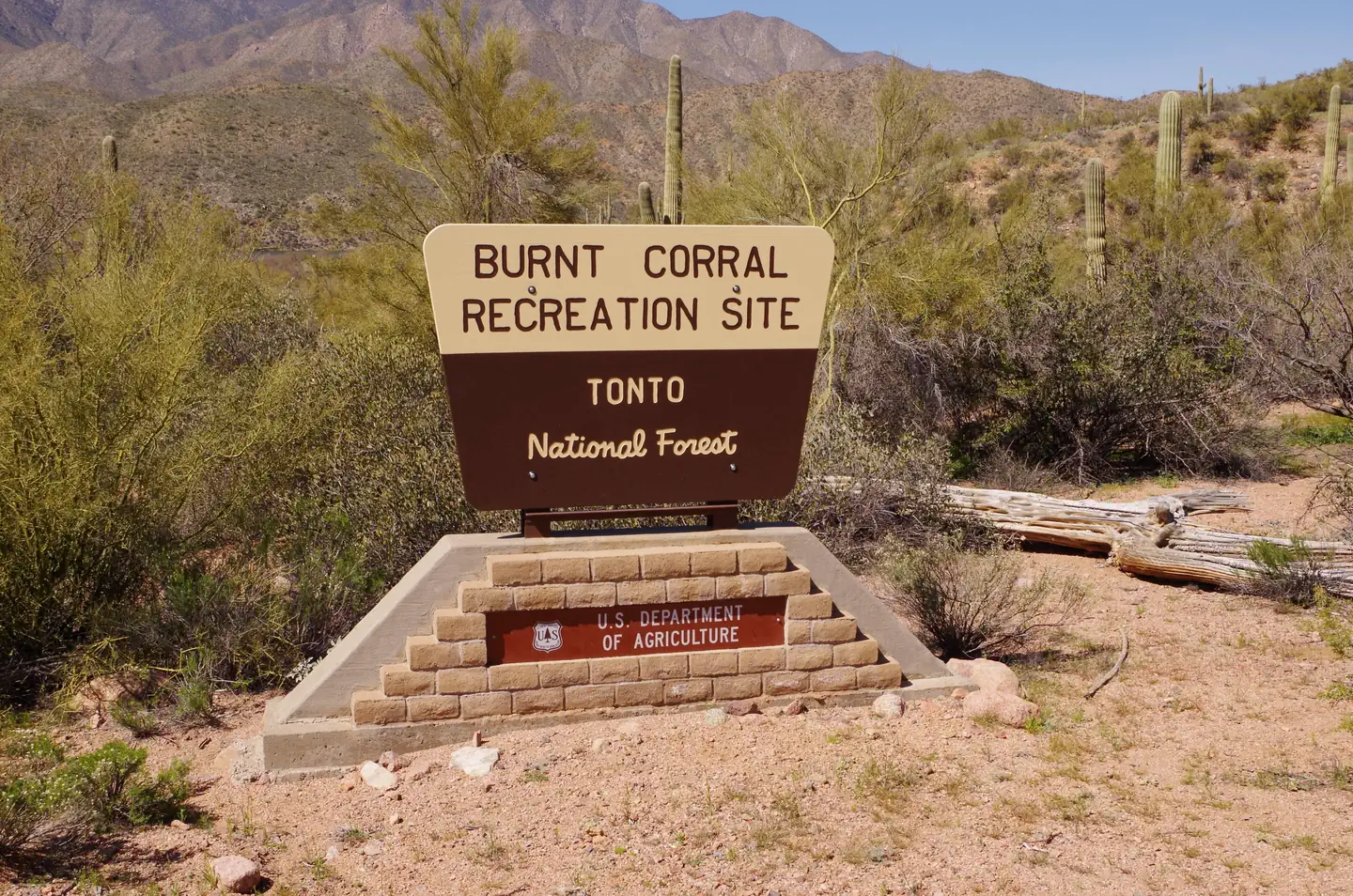
Burnt Corral Campground
USFS · Campground · Fee
Fast facts
- Cost
- Fee charged
- Managed by
- USFS
- Type
- Campground
- Hours
- Check in time is 2:00pm and check out time is 11:00am. Quiet Hours are 10:00pm through 6:00am
- Reservations
- recreation.gov
- Phone
- TONTO BASIN RANGER DISTRICT (602) 225-5395
- Nearest dump station
- Woods Canyon Dump Station · 50.2 mi
- Coordinates
- 33.6274, -111.2033
- Last verified
- September 19, 2026
About this place
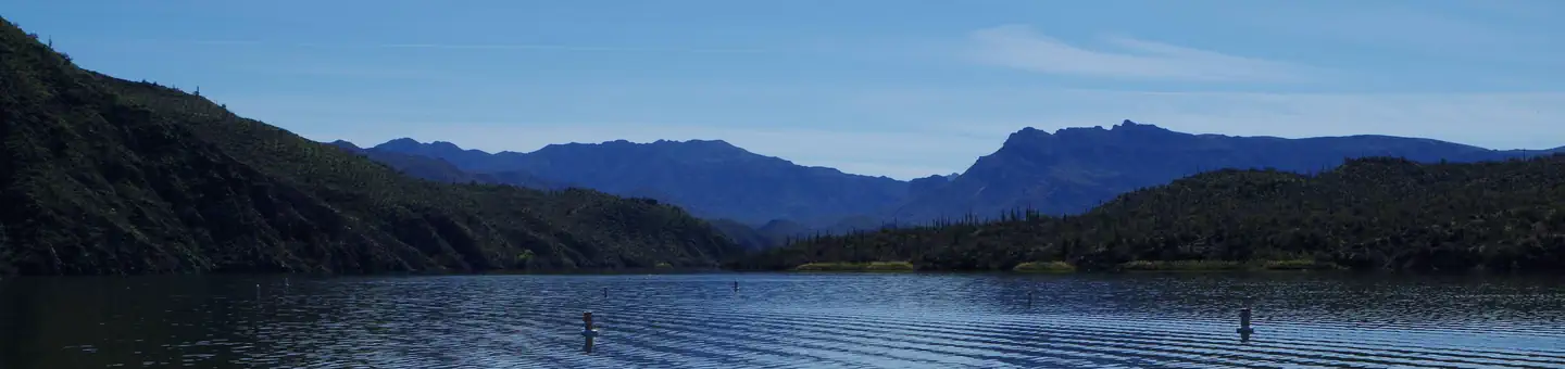
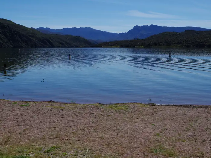
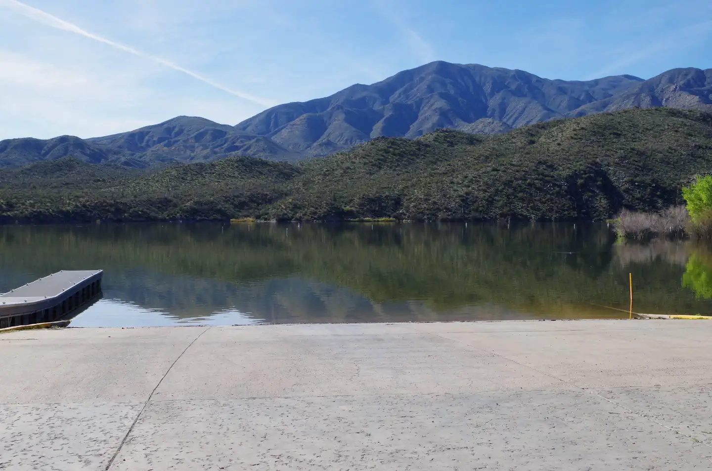
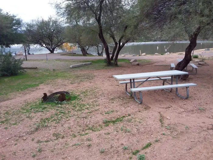
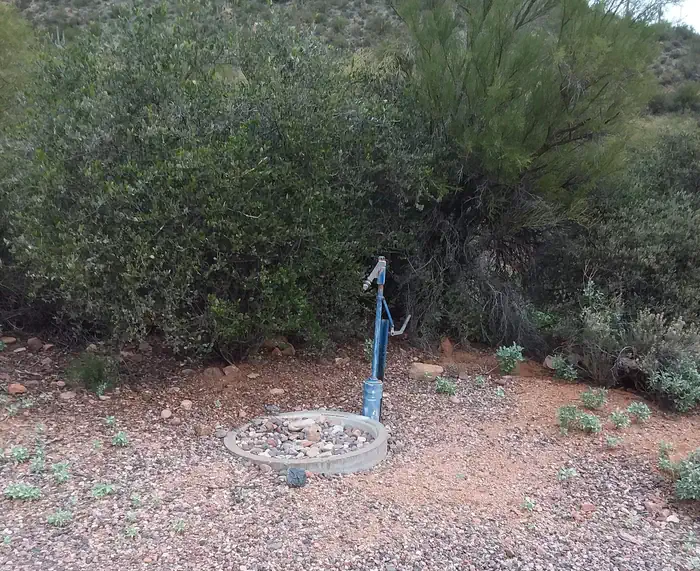
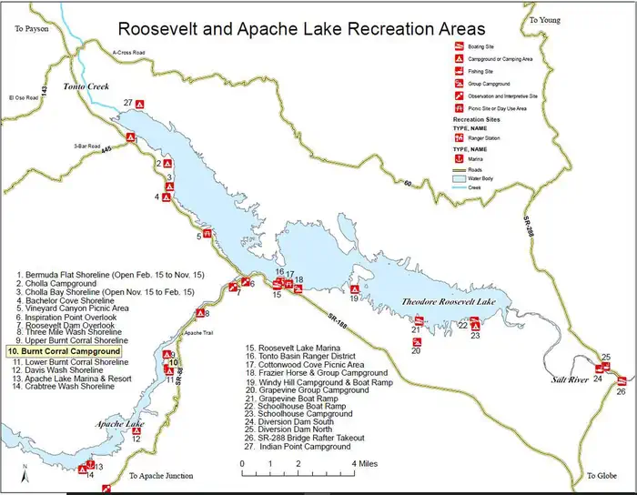
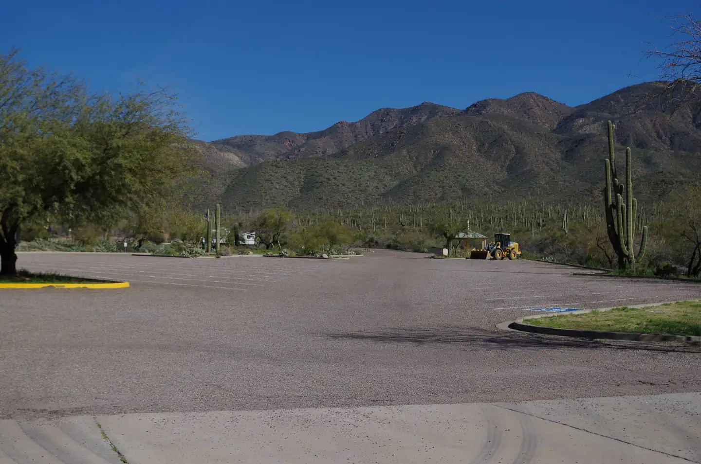
Overview Burnt Corral Campground and Recreation Area (elevation 1914') is about 5.8 miles south of Roosevelt Dam along the Apache Trail (AZ Hwy 88) along the shoreline of Apache Lake. It is nestled amongst the saguaros, mesquites, and palo verdes, and offers opportunities to boat, swim, fish, relax, hike, and sightsee. Recreation Motorboating, fishing, water-skiing, and paddlesports are very popular because of the developed and undeveloped lake access from within the campground. Others may enjoy hiking nearby trails, being challenged by local jeep trails, or practicing their landscape photography, or simply relaxing with a good book. Facilities Burnt Corral Campground includes 76 camp units, vault toilets, potable water hydrants, 6 day-use picnic units, paved boat launch, boat boarding dock; Each campsite includes a parking spur, fire ring with grill, a shade ramada, and a picnic table. This campground provides access to visitors who are mobility impaired. Natural Features Burnt Corral Campground is situated in what may be the most stunning Sonoran Desert landscape in Arizona. The contrast of sunshine, clear blue water, and saguaro's surrounded by the Four Peaks and Superstition Wilderness' is a magnificant sight to see. While shade is scarce in the desert, campsites are situated amongst mature mesquite and palo verde trees, and desert chaparral. Apache Lake is 17 miles long making it the longest in the chain of reservoirs on the lower Salt River below Roosevelt Dam. Nearby Attractions Roosevelt Dam, Apache Lake Marina, Tortilla Flats, Tonto National Monument (Cliff Dwellings), Roosevelt Lake, Apache Trail Scenic Byway (AZ Hwy 88), Spines to Pines Scenic Byway (AZ Hwy 288). The City of Globe and Town of Payson are only an hour away.
From the USFS.Official page
Is Burnt Corral Campground free?
No. Burnt Corral Campground charges a fee. It is managed by the USFS. Sites are reservable through recreation.gov.
How do I get to Burnt Corral Campground?
This site is 6 miles south of Roosevelt Dam on the south shoreline of Apache Lake. From Mesa: Take the Beeline Highway/State Hwy.87 north for approximately 60 miles to the junction of State Hwy. 188. Turn right and follow State Hwy. 188 for 33 miles to the junction with State Hwy. 88. Turn right on State Hwy. 88 and drive past Roosevelt Dam. Follow State Hwy. 88 for 5 miles to Forest Road (FR) 183; turn right and continue an additional mile to the site. From Claypool (between Globe & Miami): Take State Hwy. 188 northwest for 29 miles to the junction of State Hwy. 88. Follow State Hwy. 88 (it heads southwest and becomes an unpaved road) for 5 miles to Forest Road (FR) 183; turn right and continue an additional mile to the site.
What are the rules at Burnt Corral Campground?
14-day stay limit. Trailers under 22 feet. Sewage dump facilities are located 5 miles north of the junction of State Hwy. 88 and State Hwy.188, across from Cholla Campground (no fee). Parts of State Hwy. 88 are a narrow gravel road. Please use trash receptacles. In the winter, temperatures drop into the teens. PACK IT IN, PACK IT OUT. Quiet hours 10:00 pm to 6:00 am (running generators are not permitted during quiet hours).
Nearby
SourceData from the USFS. Last synced September 19, 2026. Community reports and photos are submitted by travelers and are not verified by the agency.
