
FRAZIER GROUP CAMPGROUND
Campground · Fee
Fast facts
- Cost
- Fee charged
- Type
- Campground
- Phone
- TONTO BASIN RANGER DISTRICT (602) 225-5395
- Nearest dump station
- Woods Canyon Dump Station · 46.4 mi
- Coordinates
- 33.6668, -111.1286
- Last verified
- September 19, 2026

About this place
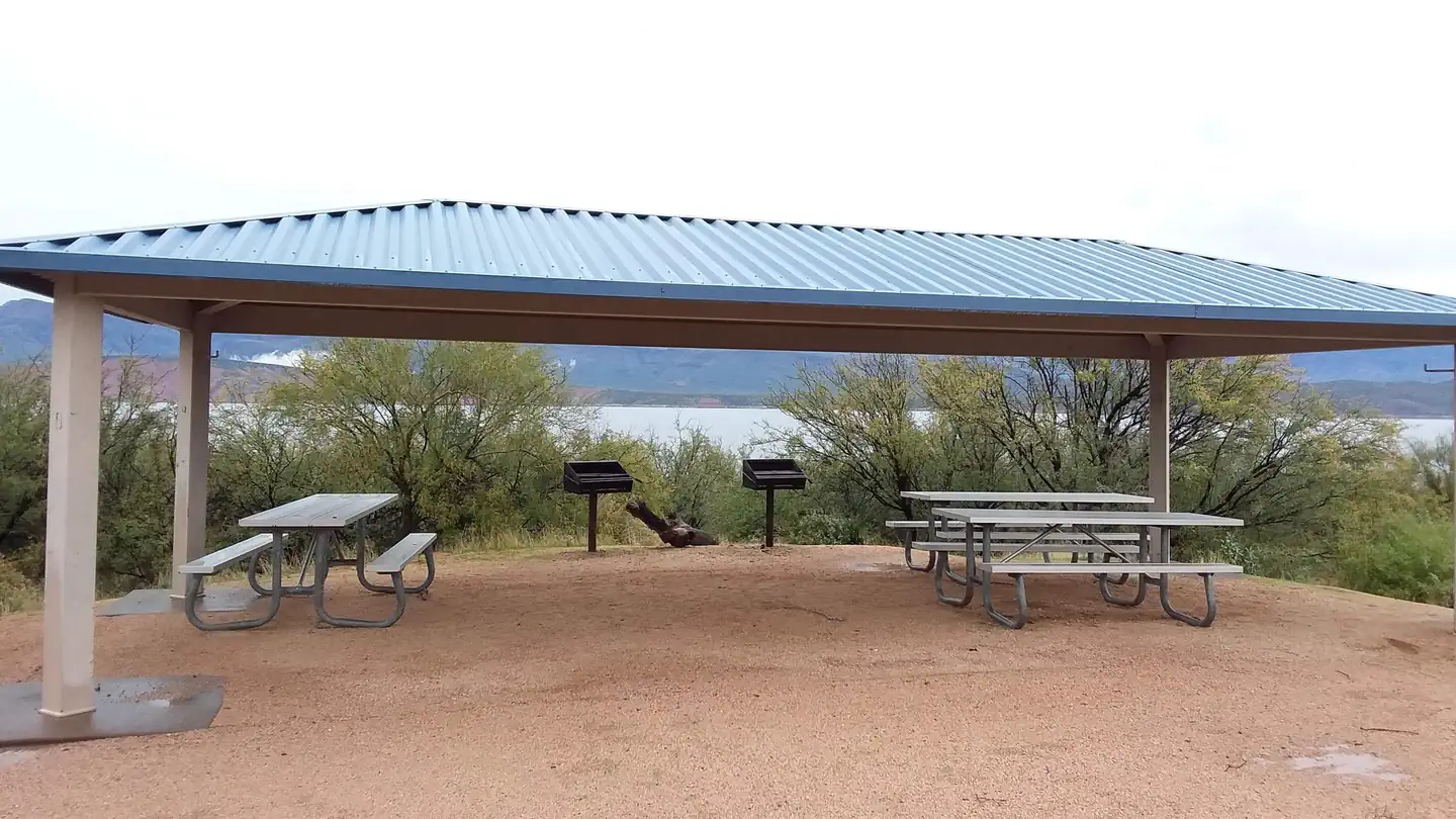
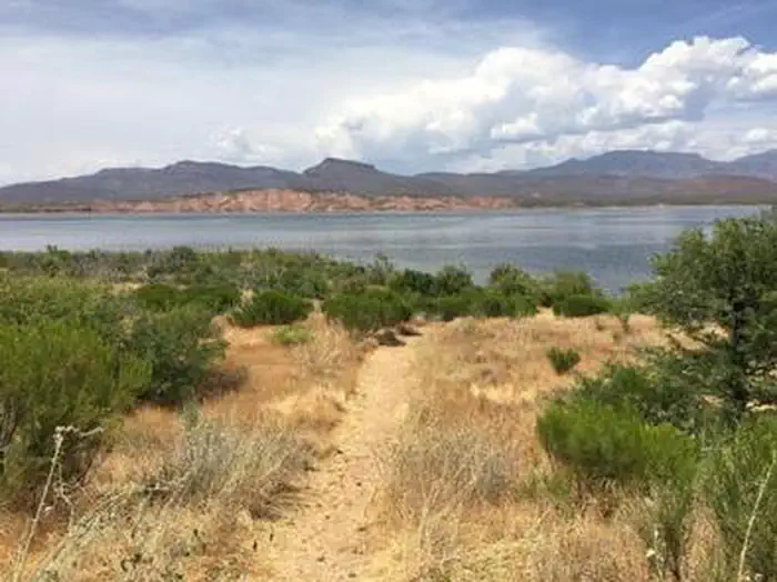
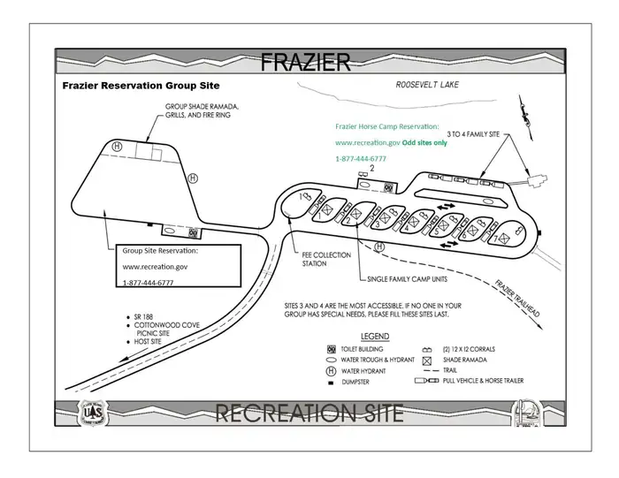
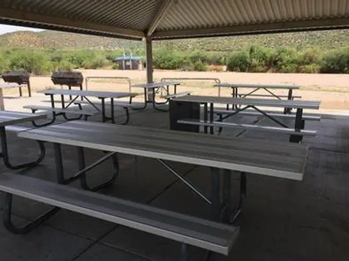
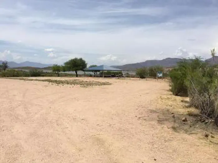
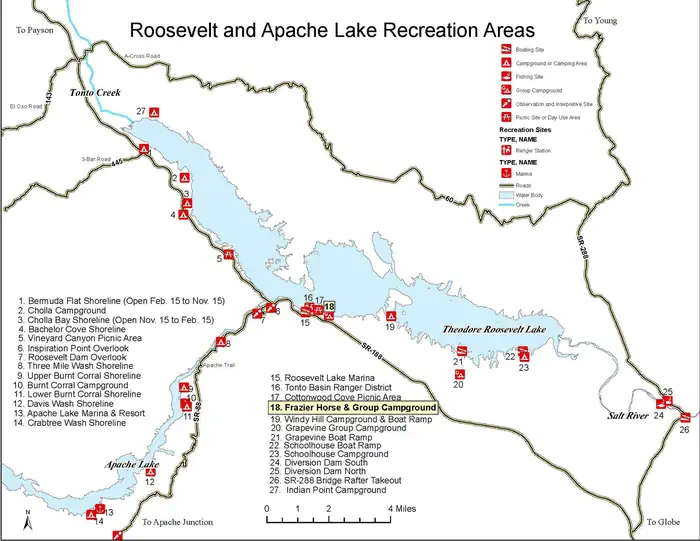
Overview The campground overlooks Roosevelt Lake and is nestled in the saguaro cactus-studded Sonoran Desert. Recreation In addition to camping, horseback riders, hikers, and mountain bikers can access the Arizona National Scenic Trail from the campground via the Frazier Trail. There are many other trails in the area. Facilities Frazier's large open parking area accommodates trailers and pull vehicles arranged in a variety of parking configurations. Facilities include vault toilets, a shelter with group-sized picnic tables, grills, and fire rings, a watering trough, and water hydrants. Natural Features At an elevation of 2,200 feet, the group site has stunning views of the blue water and sunsets against three mountainous wilderness areas. Nearby Attractions Multiple opportunities for enjoying spectacular scenery and learning about the area's pre-history, history, flora, fauna, or geology include visiting Tonto National Monument cliff dwellings (National Park Service), driving portions of the Apache Trail Historic Road (State Hwy 88) and Desert to Tall Pines Scenic Road (State Hwy 288) or visiting the Tonto Basin Visitors Center.
From the managing agency.
Is FRAZIER GROUP CAMPGROUND free?
No. FRAZIER GROUP CAMPGROUND charges a fee.
How do I get to FRAZIER GROUP CAMPGROUND?
FRAZIER GROUP CAMPGROUND is at 33.6668, -111.1286. We do not hold written directions for this one, so navigate to the coordinates.
Nearby
SourceSource data is agency published. Last synced September 19, 2026. Community reports and photos are submitted by travelers and are not verified by the agency.
