
PENDLETON BEND
Campground · Fee not listed
Fast facts
- Cost
- Not listed. Check locally.
- Type
- Campground
- Phone
- 870-548-2291
- Coordinates
- 33.9869, -91.3608
- Last verified
- September 19, 2026
About this place
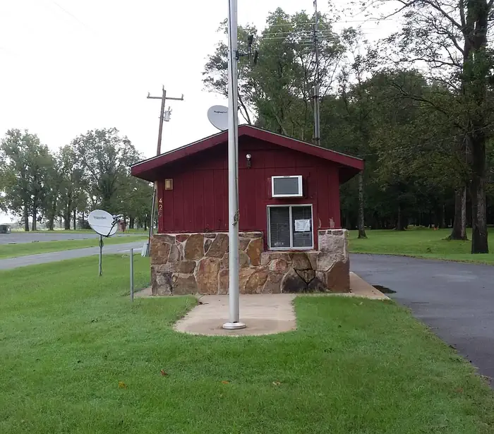
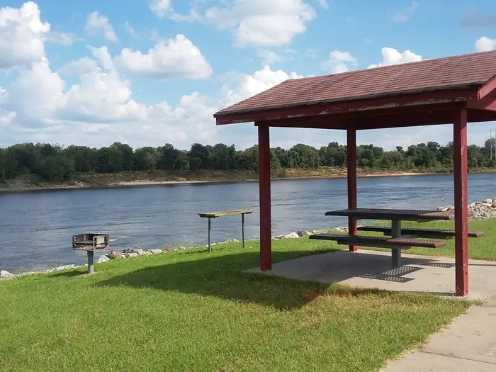
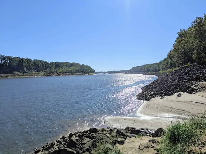
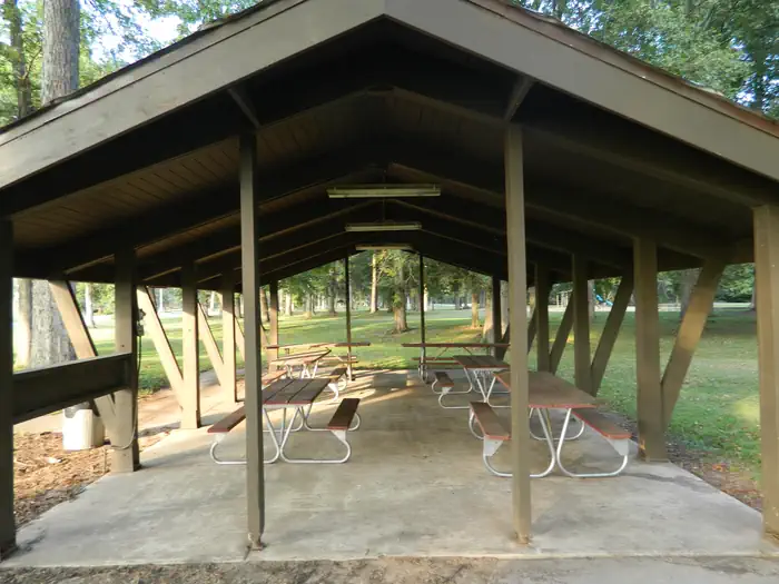
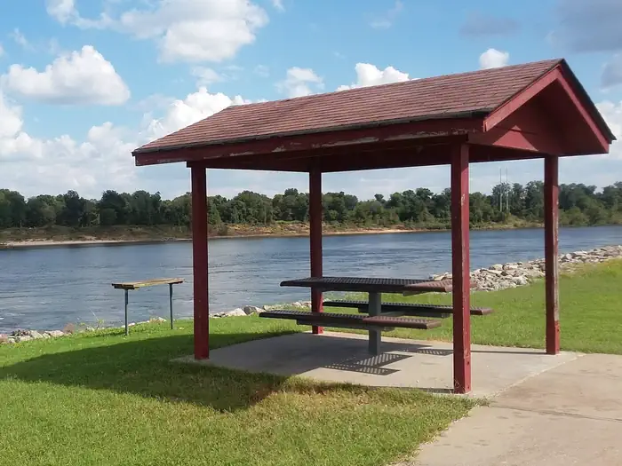
Overview Pendleton Bend Campground and Day Use Park is located on the bank of the Arkansas River. The campground offers 31 campsites, a two lane boatramp, a comfort station with hot showers and restrooms, playground, picnic sites, and a group shelter that can accomodate 75 users. Recreation Hiking, fishing, boating, birding, and hunting are all popular activities for visitors. World-class bass and crappie fishing is found in Pool 2, and the tailwaters of the dam provide excellent opportunities to catch a variety of gamefish, especially catfish. A boat ramp is available for access to the Arkansas River. Hiking and birding is available in the nearby Trusten Holder Wildlife Management Area. Many species of waterfowl frequent the lower Arkansas River and its adjacent wetlands making this area a destination for waterfowl hunters. Facilities Pendleton Bend offers 31 campsites with electric and water hookups, 25 of which may be reserved. Additional amenities include a boat ramp, comfort station with hot showers and flush toilets, group picnic shelter, and a playground with picnic sites. Natural Features Pendleton Bend Campground and Park is located in the lush Eastern Arkansas alluvial bottomland forest in Desha County. Pendleton Bend Campground and Park is approximately 3.5 miles upstream of the Wilbur D. Mills Dam and Arkansas Electric Coop Hydropower Dam. The Campground and Park sits along the track for migratory birds as they come and go from the Gulf of Mexico, making it a destination for birders. Many species of waterfowl frequent the Arkansas River and adjacent wetlands making it a destination for waterfowl hunters. Nearby Attractions Nearby, visitors can visit the Arkansas Post National Memorial. Here, Henri de Tonti established the first European village west of the Mississippi River in 1686. In 1819, Arkansas Post became the capital of the Arkansas Territory and remained so until the Civil War. The Dale Bumpers White River Refuge is nearby that offers 160,000 acres of excellent hunting, fishing, and wildlife viewing opportunities as well.
From the managing agency.
Is PENDLETON BEND free?
We do not have a fee on record for PENDLETON BEND. Confirm the cost locally before you go.
How do I get to PENDLETON BEND?
PENDLETON BEND is at 33.9869, -91.3608. We do not hold written directions for this one, so navigate to the coordinates.
Nearby
- NOTREBES BEND PARK3.0 mi
- WILBUR D. MILLS3.0 mi
- MERRISACH LAKE6.2 mi
- RISING STAR24.9 mi
- STE MARIE PARK38.4 mi
No other services within 50 mi on the record.
SourceSource data is agency published. Last synced September 19, 2026. Community reports and photos are submitted by travelers and are not verified by the agency.
