
NOTREBES BEND PARK
Campground · Fee not listed
Fast facts
- Cost
- Not listed. Check locally.
- Type
- Campground
- Phone
- 870-548-2291
- Coordinates
- 33.9881, -91.3092
- Last verified
- September 19, 2026
About this place
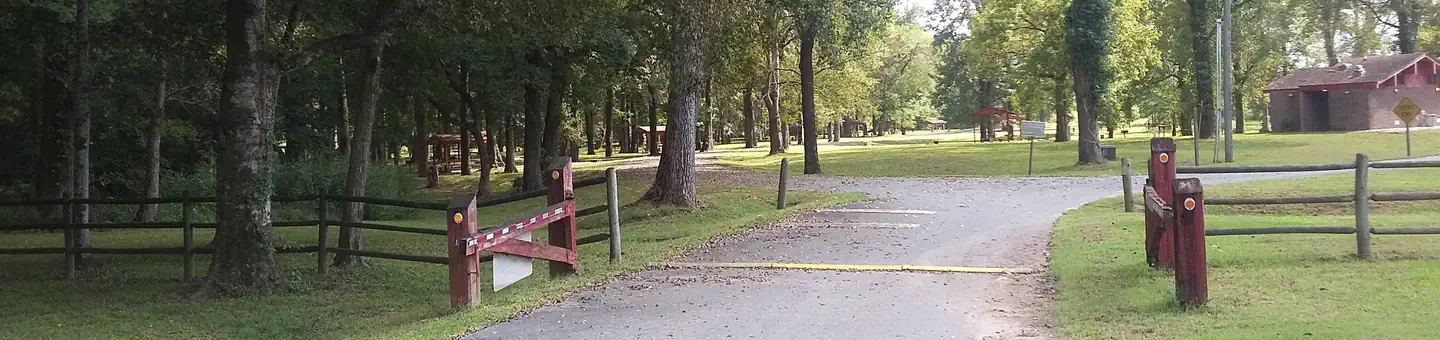
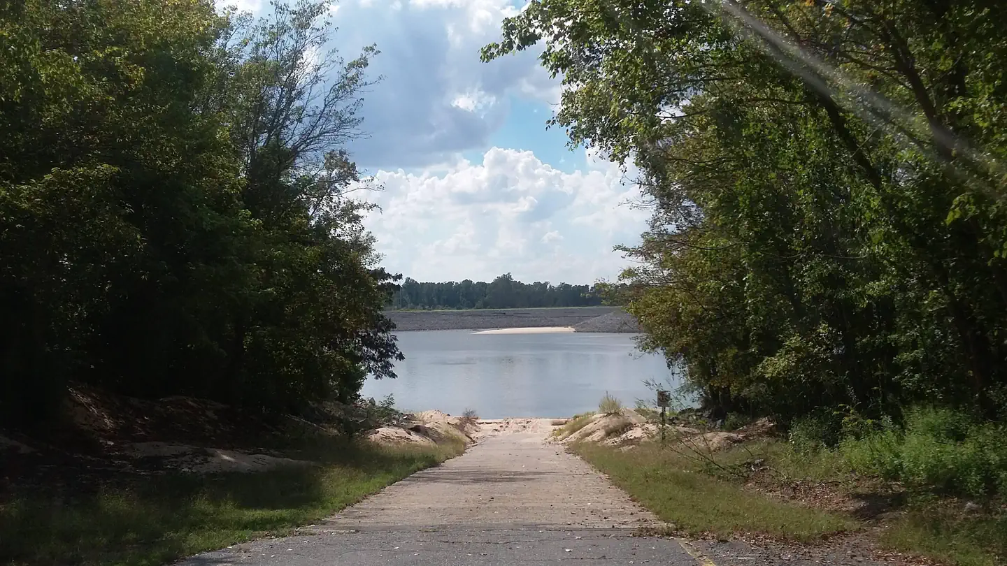
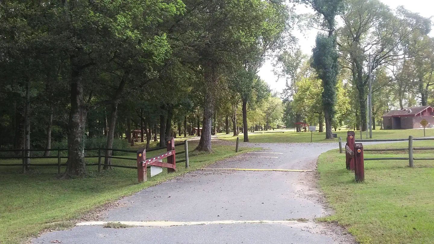
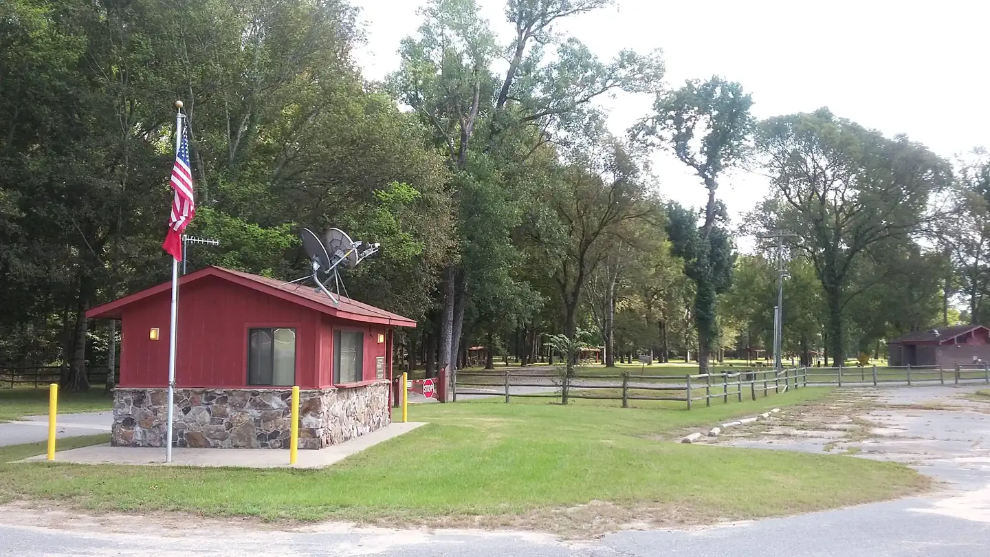
Overview This small, quiet campground contains 30 campsites and sits on the Arkansas River just below Wilbur D. Mills Dam. It is also along the Mississippi Flyway, the route millions of migratory birds take to get to and from the Gulf of Mexico. Recreation Fishing the tailwaters of Wilbur D. Mills Dam attracts anglers with an abundance of largemouth bass, crappie, bream and catfish, with catfish being a priority to many fishers. Boating, hunting, hiking and birding are also popular pastimes in this area. Facilities Notrebes Bend Campground offers 30 campsites with 50 amp electric hookups, drinking water and campfire rings. Twenty-four sites may be reserved. There is a comfort station located in the Campgound offering restrooms and hot showers for park users. There is also a boat ramp for visitors seeking access to the Arkansas River below Wilbur D. Mills Dam. Natural Features Notrebes Bend Campground is located on the Arkansas River just below Wilbur D. Mills Dam. The Arkansas River below Wilbur D. Mills meanders for 26 miles before it meets the Mississppi River. Just upriver of the Dam is Pool 2; which includes the Arkansas Post Canal which stretches east to connect with the White River, Merrisach Lake and Coal Pile Lake, a state designated waterfowl rest area. Nearby Attractions The Arkansas Post National Memorial marks the spot for the first European village built west of the Mississippi River in 1686. The Dale Bumpers White River National Wildlife Refuge is also nearby, offering excellent fishing, hunting, and wildlife viewing.
From the managing agency.
Is NOTREBES BEND PARK free?
We do not have a fee on record for NOTREBES BEND PARK. Confirm the cost locally before you go.
How do I get to NOTREBES BEND PARK?
NOTREBES BEND PARK is at 33.9881, -91.3092. We do not hold written directions for this one, so navigate to the coordinates.
Nearby
- WILBUR D. MILLS0.6 mi
- PENDLETON BEND3.0 mi
- MERRISACH LAKE3.8 mi
- RISING STAR27.5 mi
- STE MARIE PARK41.0 mi
No other services within 50 mi on the record.
SourceSource data is agency published. Last synced September 19, 2026. Community reports and photos are submitted by travelers and are not verified by the agency.
