
MERRISACH LAKE
Campground · Fee not listed
Fast facts
- Cost
- Not listed. Check locally.
- Type
- Campground
- Phone
- 870-548-2291
- Coordinates
- 34.0303, -91.2664
- Last verified
- September 19, 2026
About this place
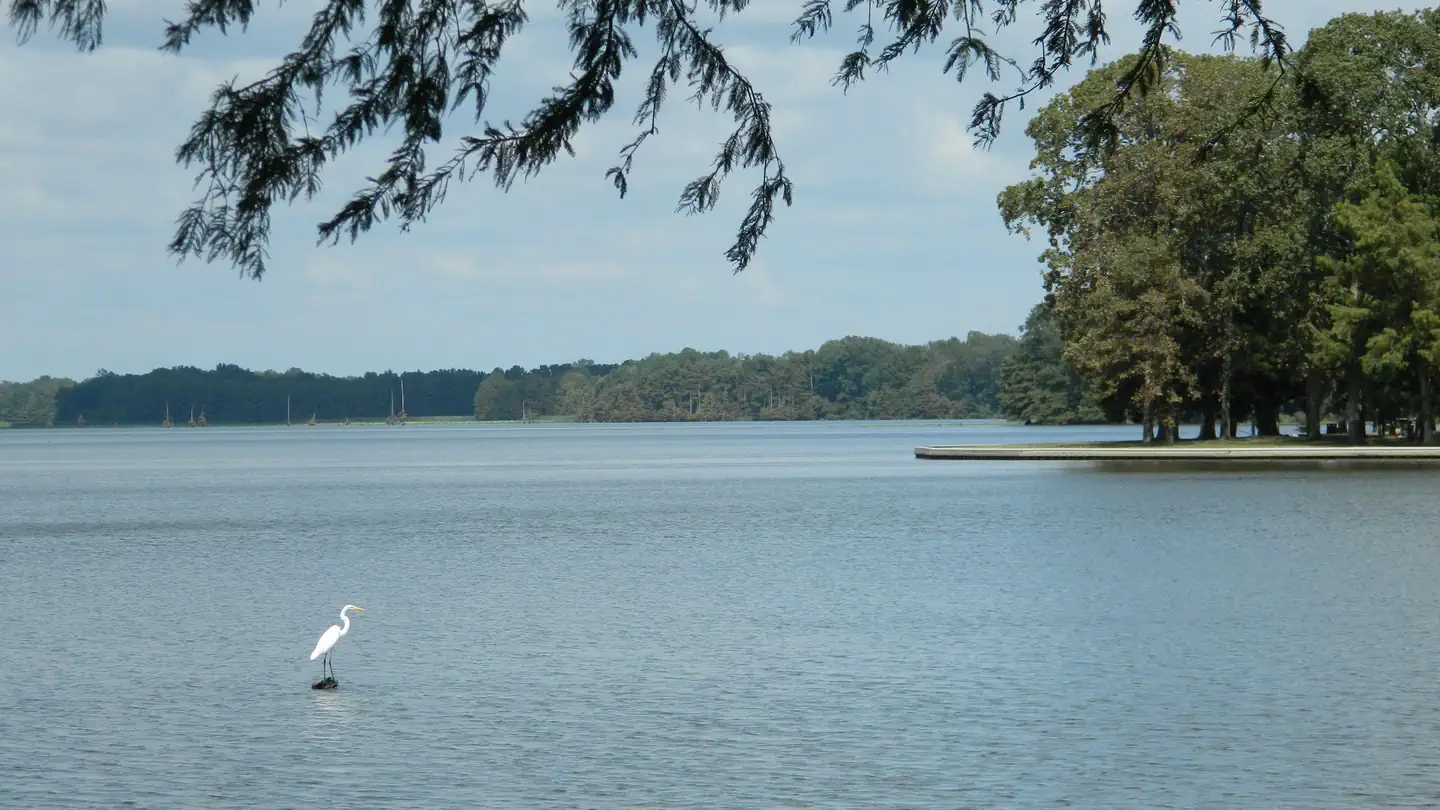
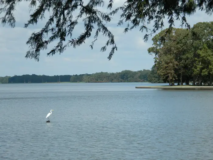
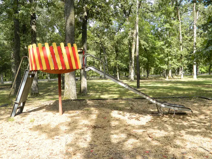
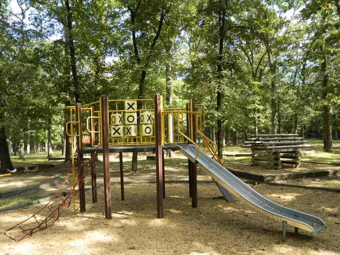
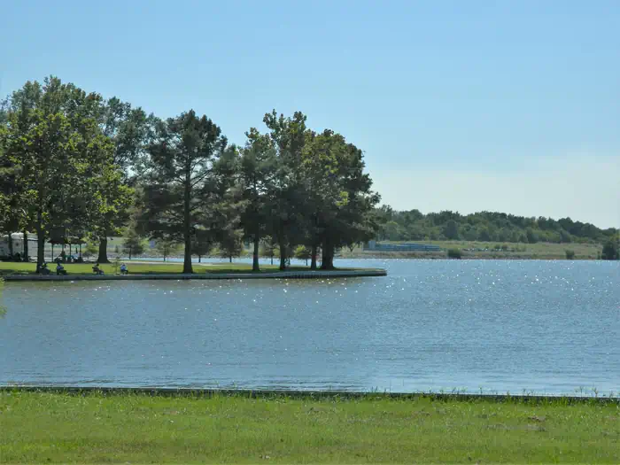
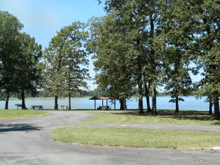
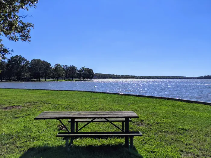
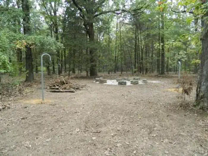
Overview Merrisach Lake Campground and Day Use Park is situated on the banks of Merrisach Lake and the Arkansas Post Canal in the lush bottomland forest of eastern Arkansas. The campground is described as off the beaten path, providing visitors with the peace and quiet to enjoy fishing, hunting, picnicking and boating. Recreation The campground and day use park offers visitors the perfect amount of seclusion to enjoy the outdoors. Visitors enjoy fishing for bass, crappie and catfish in Merrisach Lake and other tributaries of Pool 2. The tailwaters of Wilbur D. Mills Dam provide excellent opportunities to catch many species of gamefish, especially catfish. Visitors to this area also find great hunting, birding and boating opportunities. Merrisach sits on the famed Mississippi Flyway, where millions of songbirds, ducks, geese and butterflies pass during migration. Facilities Campsites are spacious, with a few backing right up to the lake. Most sites offer electric and water hookups. Additional amenities include hot showers, a playground, boat ramp and dump station. Two large group picnic shelters are available, and can accommodate up to 75 guests each. Natural Features The Arkansas Post Canal creates a waterway from the Arkansas River to the White River, and Merrisach Lake stems from the pool between the Wilbur D. Mills Dam and Lock Number 2. Wilbur D. Mills Pool boasts 96 miles of shoreline and 10,600 acres of water. Nearby Attractions The Dale Bumpers White River National Wildlife Refuge is a haven for wildlife and migratory birds, and is one of the largest remaining bottomland hardwood forests in the Mississippi River Valley. The National Park Services's Arkansas Post National Memorial is also a great place to visit while camping in the area.
From the managing agency.
Is MERRISACH LAKE free?
We do not have a fee on record for MERRISACH LAKE. Confirm the cost locally before you go.
How do I get to MERRISACH LAKE?
MERRISACH LAKE is at 34.0303, -91.2664. We do not hold written directions for this one, so navigate to the coordinates.
Nearby
- NOTREBES BEND PARK3.8 mi
- WILBUR D. MILLS4.3 mi
- PENDLETON BEND6.2 mi
- RISING STAR28.6 mi
- STE MARIE PARK41.9 mi
No other services within 50 mi on the record.
SourceSource data is agency published. Last synced September 19, 2026. Community reports and photos are submitted by travelers and are not verified by the agency.
