
TOMPKINS BEND
Campground · Fee not listed
Fast facts
- Cost
- Not listed. Check locally.
- Type
- Campground
- Phone
- 870-867-4476
- Coordinates
- 34.5688, -93.4699
- Last verified
- September 19, 2026
About this place
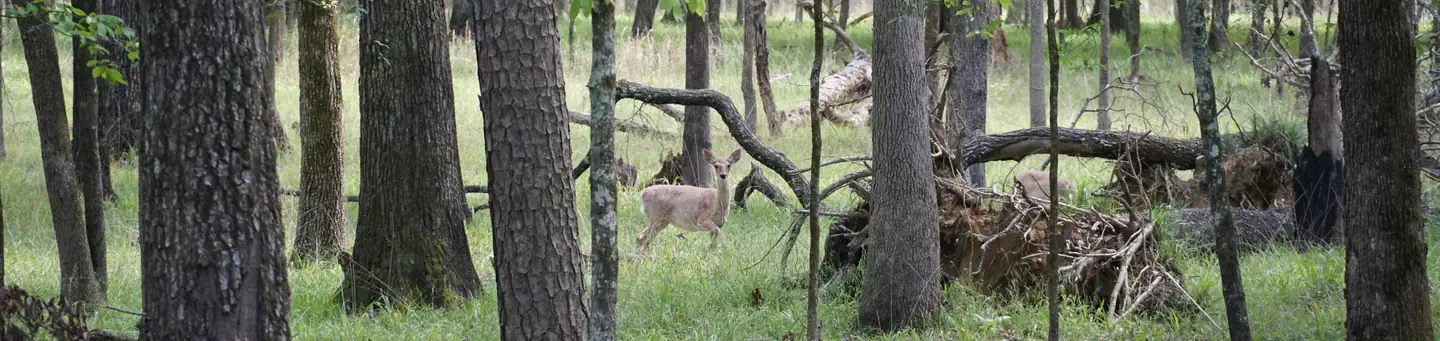
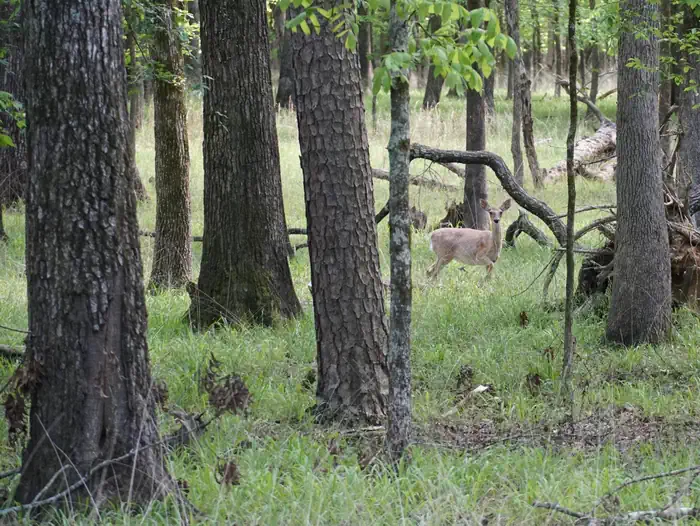
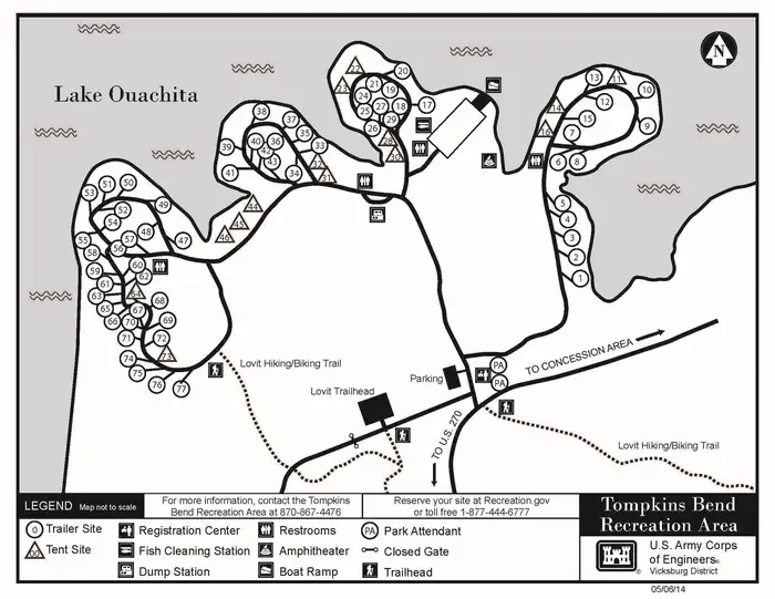
Overview Tompkins Bend on Lake Ouachita, is a great family camping destination. The combination of lush mountain scenery and roomy sites big enough for two camping units, make this quiet location an ideal place for an outdoor getaway. Click here for the Lake Ouachita Virtual Tour. Recreation Water skiers, jet skiers and anglers can all enjoy the crystal clear waters of the lake, while hikers enjoy the campground's location on the Lake Ouachita Vista Trail (LOViT), which meanders across the south end of the lake. Wildlife enthusiasts can find everything from bobcats to black bears and deer in the forested mountains surrounding the lake, and Bald eagles are often spotted in winter. Facilities The campground consists of 77 sites including 63 sites with electric hookups and 69 sites with water hookups. Most sites will accommodate two camping units. Other amenities include a dump station, fish cleaning station, hot showers, playground and a boat ramp. Natural Features Lake Ouachita is fed from the cool waters of the Ouachita River in central Arkansas. Surrounded by the Ouachita Mountains and National Forest, it's crystal waters span over 40,000 acres and extend for 30 miles, making it the largest lake completely in the state of Arkansas. Nearby Attractions Head to Hot Springs National Park and discover how it earned the nickname, "The American Spa." Or take a scenic drive through the 1.8 million-acres of Ouachita National Forest. Here, off-roading enthusiasts can take on the Wolf Pen Gap Off-Highway Vehicle Trail System. Contact Info This location is unstaffed. To speak with our main office for general information, please call: (501) 767-2101.
From the managing agency.
Is TOMPKINS BEND free?
We do not have a fee on record for TOMPKINS BEND. Confirm the cost locally before you go.
How do I get to TOMPKINS BEND?
TOMPKINS BEND is at 34.5688, -93.4699. We do not hold written directions for this one, so navigate to the coordinates.
Nearby
- Tompkins Bend Day-Use0.1 mi
- JOPLIN1.6 mi
- DENBY POINT2.0 mi
- Hickory Nut Mountain Picnic Area2.8 mi
- Little Fir4.4 mi
- Charlton Campground6.1 mi
- Charlton6.1 mi
- Charlton Recreation Area6.2 mi
No other services within 50 mi on the record.
SourceSource data is agency published. Last synced September 19, 2026. Community reports and photos are submitted by travelers and are not verified by the agency.
