
Friend Park Campground
USFS · Campground · Dispersed · Fee
Fast facts
- Cost
- Fee charged
- Managed by
- USFS
- Type
- Campground
- Reservations
- fs.usda.gov
- Phone
- N/A
- Coordinates
- 42.2561, -105.4848
- Last verified
- September 19, 2026
About this place
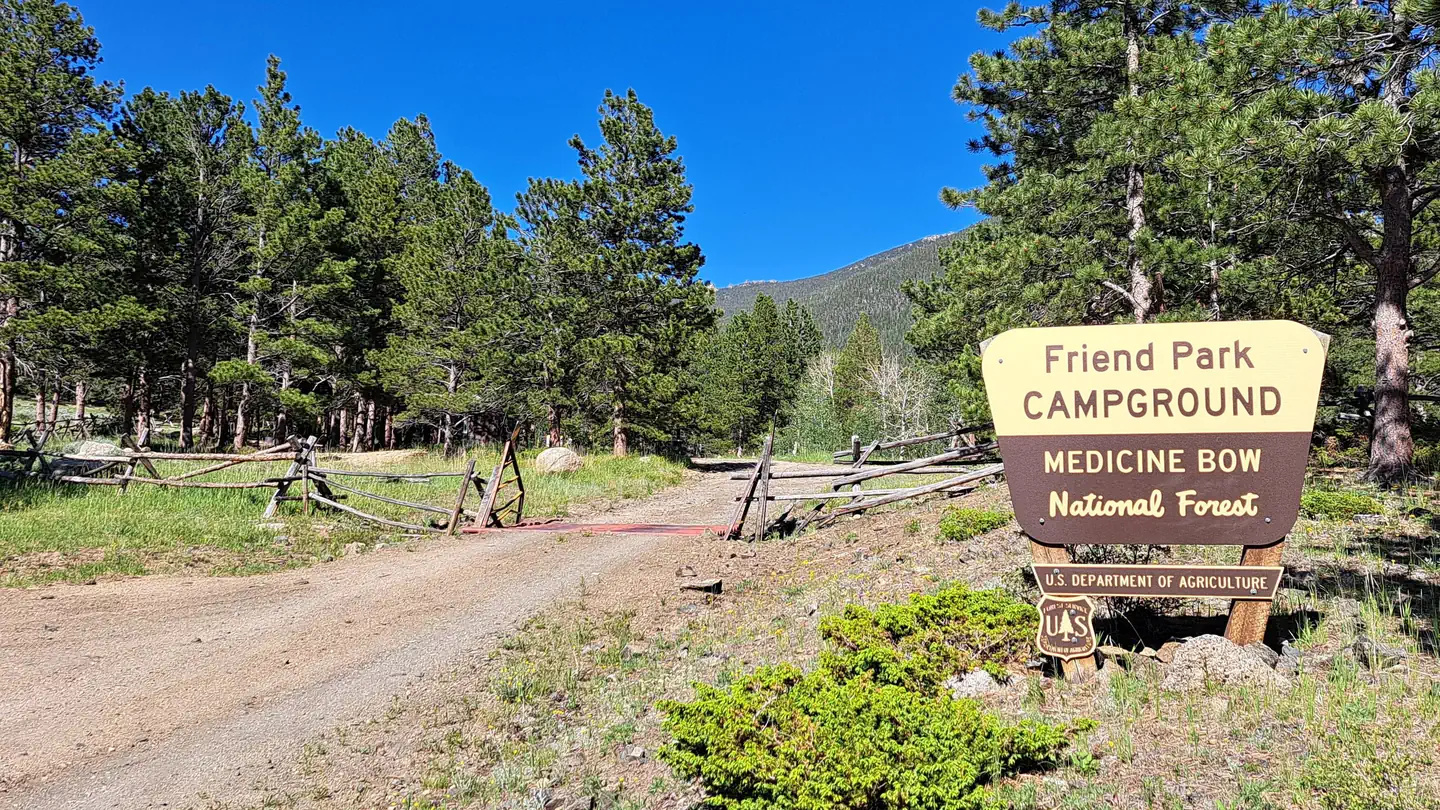
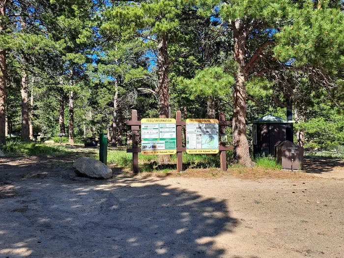
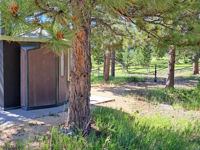
Overview Situated at the base of Laramie Peak, the Friend Park Campground has 11 sites surrounded by firs, pines, and aspens with beautiful Friend Park to the southwest. A favorite of both tent and trailer campers, it is another great location for recreating within the Laramie Peak Unit of the Douglas Ranger District. The campground is popular for OHV riding, fishing, hiking, hunting, mountain biking, or just getting away to relax. Recreation The Laramie Peak area in the Medicine Bow National Forest is located in Central Wyoming. The Douglas Ranger District manages the Laramie Peak and Thunder basin National Grasslands areas. Year-round recreation uses include hiking, fishing, hunting, OHV riding, camping, biking, horseback trail riding, and rock climbing. Primary access across the district is by I-25 and Highway 59. The Laramie Peak Connector Trail leaves the campground and leads to the Friend Park Trail and Laramie Peak Trail. Hiking access to the Roaring Fork Trail is located along the nearby FSRD 661.A. There are many fishing opportunities just below the campground in Friend Creek and the beaver ponds along the Connector Trial. Other fishing areas are along the Upper Horseshoe Creek on National Forest System lands and WY State Trust land. Mountain Biking • Upper Roaring Fork Trail • Friend Park Trail • North Laramie River Trail • Harris Park Trail • Laramie Peak Trail • Sunset Ridge Trail • Lost Creek Trail • Arapaho Trail • Albany Peak Trails • Black Mountain Look out Mountain Climbing • Curtis Gulch Trail • Upper Roaring Fork Trai Day Hiking • Upper Roaring Fork Trail • Friend Park Trail • North Laramie River Trail • Harris Park Trail • Laramie Peak Trail • Sunset Ridge Trail • Lost Creek Trail • Albany Peak Trails • Black Mountain Look out Backpacking • Upper Roaring Fork Trail • North Laramie River Trail • Harris Park Trail • Lost Creek Trail • Albany Peak Trails Horseback riding • Upper Roaring Fork Trail • Friend Park Trail • Arapaho Trail • North Laramie River Trail • Harris Park Trail • Laramie Peak Trail • Sunset Ridge Trail • Lost Creek Trail • Black Mountain Look out OHV Riding • Arapaho Trail • FSRD633 Trails • Sunset Ridge Trail • North Laramie River Trail • Laramie Peak Trail • Albany Peak trails • Black Mountain Look out Facilities There are 11 campsites in a lightly wooded, rocky area with picnic tables, fire rings, pedestal grills, vault toilets, trash collection, and potable water. Most campsites have abundant shade and several of the walk-in sites are spaced far enough apart to have a dispersed feel. Potable water is typically available in this campground from early June to late November. These dates may vary due to weather. Potable water availability may vary due to well and/or pump maintenance, and water testing requirements. As such, we encourage you to bring your own drinking water or call ahead. Natural Features The campground is at an elevation of 7,572 feet within a mature stand of ponderosa pine, along with aspen and firs. Several of the walk-in sites have a great view of Laramie Peak. The general area is intermixed with timber, meadows and large rock formations. The highest peak in the Laramie Range at 10,200 feet, Laramie Peak was once a welcome sign to pioneers on the Oregon and Mormon trails, as well as the first ‘real' mountain most had ever seen. Nearby Attractions Visitors can find many outdoor opportunities in the surrounding area including OHV riding, hiking, backpacking, mountain biking, hunting, fishing, sightseeing, rock climbing, photography, and horseback riding. Fishing opportunities nearby in Friend Creek and Upper Horseshoe Creek. Sunday services available nearby at the historic Esterbrook Community Church (non-denominational).
From the USFS.
Is Friend Park Campground free?
No. Friend Park Campground charges a fee. It is managed by the USFS. Sites are reservable through fs.usda.gov.
How do I get to Friend Park Campground?
From Douglas, take WY 94 17 miles south continuing onto Esterbrook Road (County Road 5) 11 miles south to Esterbrook. Turn right on Esterbrook Road (County Road 5) southwest for another 15 miles. Turn left on Forest Road 671 for 2 miles and then left onto Forest Road 661 for 1 mile to the campground. Transit time 1 1/2 hours. From Rock River, take US 30 / US 287 north 3 miles, turn right on Fetterman Road (County Road 61) for 33.6 miles. Turn right on Garrett Road (County Road 713) for 6.7 miles and then left on Bear Creek Road (County Road 77) for 7.8 miles. Continue on Forest Road 671 for 6 miles and then turn right on Friend Park Road 1 mile to the campground. Transit time 2 hours. This site is usually not accessible by vehicle from mid-October to mid-May. Converse and Abany County normally does not maintain County Roads in the Friend Park Area from 1 Nov to 1 May. Bear Creek road is single lane and rough when it is open.
What are the rules at Friend Park Campground?
No horses in the campground. Wyoming State OHV stickers are required for driving any Forest Service OHV trails.
Nearby
- Curtis Gulch Campground12.6 mi
- Esterbrook Campground14.2 mi
- LA PRELE GUARD STATION22.4 mi
- Campbell Creek Campground22.6 mi
- Rim Campsite 849.1 mi
- Rim Campsite 749.1 mi
- Rim Campsite 649.1 mi
- Lodgepole Campsite 649.2 mi
No other services within 50 mi on the record.
SourceData from the USFS. Last synced September 19, 2026. Community reports and photos are submitted by travelers and are not verified by the agency.
