
FIREHOLE CANYON CAMPGROUND
Campground · Fee not listed
Fast facts
- Cost
- Not listed. Check locally.
- Type
- Campground
- Phone
- 801-226-3564
- Nearest dump station
- Lily Lake Comfort Station · 78.3 mi
- Coordinates
- 41.3497, -109.4461
- Last verified
- September 19, 2026
About this place
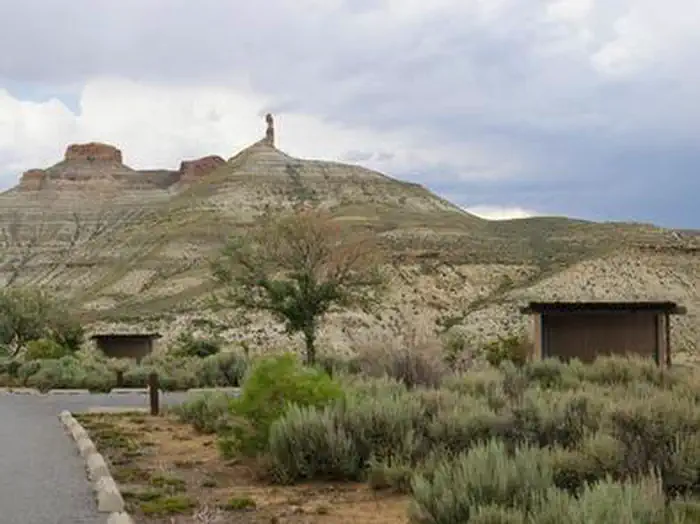
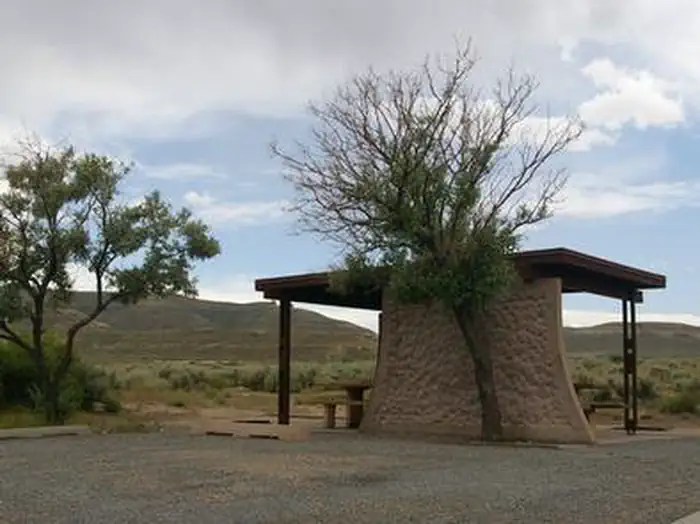
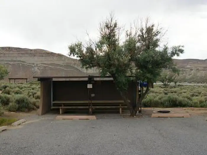
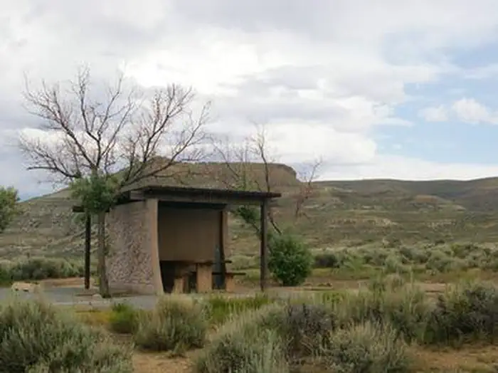
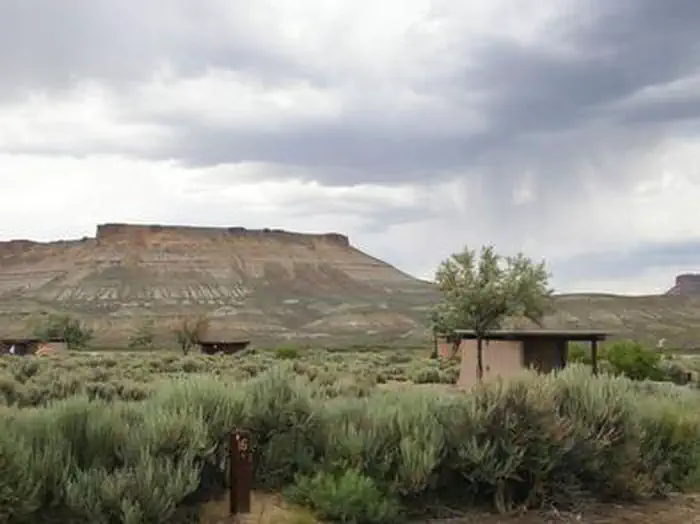
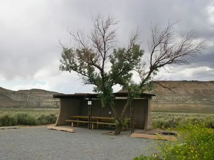
Overview Firehole Canyon Campground is located on the far northeastern shore of Flaming Gorge Reservoir within the Flaming Gorge Recreation Area on the Ashley National Forest. Rock Springs, Wyoming, is just 29 miles away. Boating, fishing and water skiing are popular activities. Recreation Fishing, boating, canoeing, water skiing and swimming are popular activities on the lake. Campers are offered the convenience of an adjacent boat ramp and a beach area. Facilities The campground contains several family campsites. Each campsite has a cabana, picnic table and campfire ring. Flush toilets, showers, drinking water and trash collection are provided. Roads and parking spurs are paved. A dump station is located on-site. Natural Features The campground lies in a high desert environment at an elevation of 6,300 feet. Russian olive trees and sagebrush are scattered throughout the site. Shade is minimal. The site affords scenic views of the reservoir and surrounding bluffs and red rock formations. Nearby Attractions Flaming Gorge Dam offers guided tours of the working hydroelectric plant and the dam, and the adjacent visitor center contains area history exhibits.
From the managing agency.
Is FIREHOLE CANYON CAMPGROUND free?
We do not have a fee on record for FIREHOLE CANYON CAMPGROUND. Confirm the cost locally before you go.
How do I get to FIREHOLE CANYON CAMPGROUND?
FIREHOLE CANYON CAMPGROUND is at 41.3497, -109.4461. We do not hold written directions for this one, so navigate to the coordinates.
Nearby
SourceSource data is agency published. Last synced September 19, 2026. Community reports and photos are submitted by travelers and are not verified by the agency.
